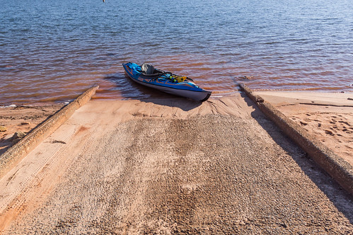
A few weeks ago, I
attempted to paddle out to Shaw Island and Andersonville Island in Lake Hartwell. But that attempt failed due to lack of an air pump for my inflatable kayak, so I had to improvise a different adventure. This time I'm back and properly equipped this time.
I reused and updated the map I created from my previous trips to the islands...
I created the map from viewing historic aerial and South Carolina DOT maps, with a few additions I spotted on satellite, and with some contributions from Tom Taylor. I also added some fields to the map table so I could record the last date visited and what was found so I need not revisit sites not worth visiting again.
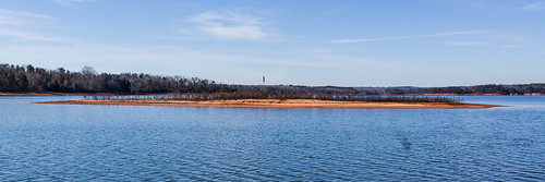
In my trips last year out to Shaw Island and its much larger neighbor Andersonville Island, the water level was noticeably low. As seen from the Double Springs Access Area, a year later the lake level is about two feet higher, but is still low. This exposed piece of land should be below water, as the marker in the center shows:
This time I searched a portion of the northern and eastern part of Shaw Island (the island on the bottom left).
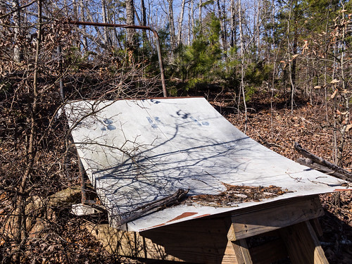
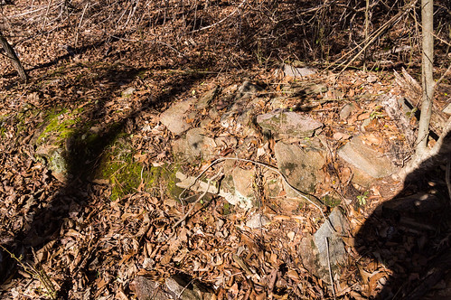
A bright spot on the satellite turned out to be this:
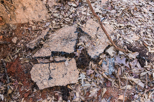
I went inland to meet up with a road. This must have been a major road if it was paved:
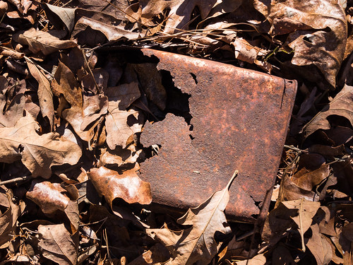
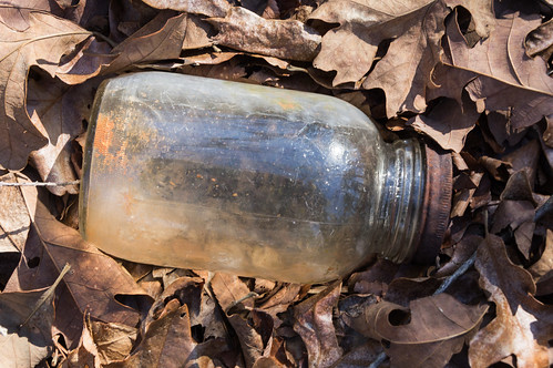
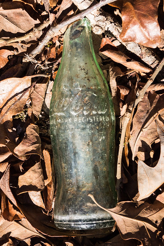
I walked down one way, but I didn't find anything interesting, so I turned around and tried the other way. When I came close to where a small side road was shown on my map, I found some rusty cans, glass bottles, and glass jars.
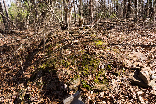
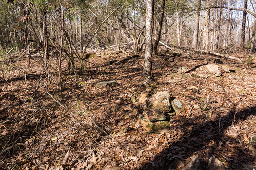
Then I came across the foundation stones what was probably a homestead at approximately are 34.47223, -82.85499.
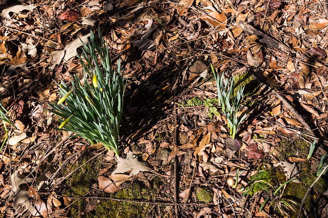
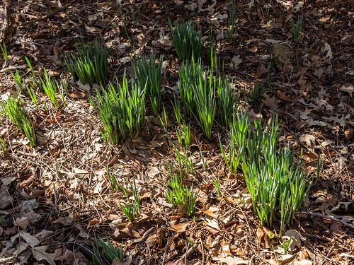
A short distance away I found daffodils, a good sign this place once was occupied:
I found more rusty cans, glass bottles,and glass jars. I even managed to accidentally step on a glass jar hidden underneath the leaves.
Next I paddled over for a quick visit to Andersonville Island. I found one area I suspected was a homestead at approximately 34.4741667, -82.8425,
but the area was thick with thorny vines and other obstacles, so I let this one be.
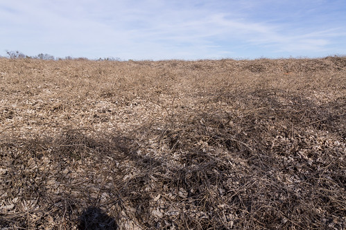
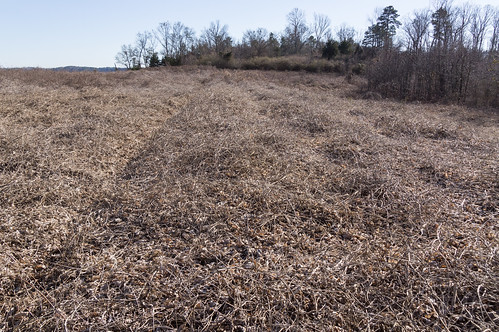
I paddled north up to one of two parts of the island dominated by (now dormant) kudzu:
The road that once was Andersonville Road, running the length of the island, is completely covered through here, but it is discernible:
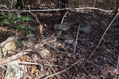
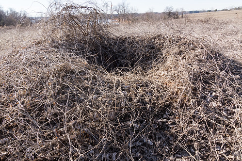
I found the same kudzu covered ruins I found the last time:
I wish I had time to visit the northernmost part of the island, also covered by kudzu, but I wanted to get back home before traffic got too heavy.
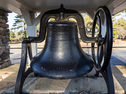
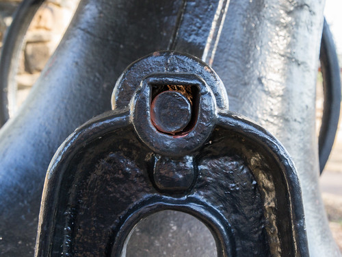
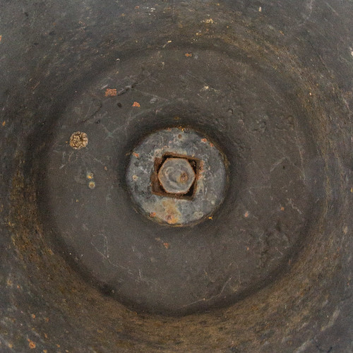
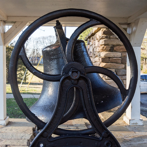
I also wanted to stop by the Double Springs Community Park again for some closeup photos of their school bell:
I'm pleased I can now confirm there are ruins on Shaw Island. It would be a shame after all that research to find nothing yet again.
I also found two party spots on Shaw Island judging by cans of low quality beer strewn around. Those and other photos you can see in
my trip album on Flickr or you can go through them below:


Comments
Post a Comment