Photographic explorations centered around Upstate South Carolina.
Merry Falls and Cannon Creek Falls
Get link
Facebook
X
Pinterest
Email
Other Apps
Yesterday was a mostly cloudy day, perfect weather for photographing waterfalls. And today is a rainy day, a perfect day for writing about a day photographing waterfalls! I chose two waterfalls that have been high on my to-do list since last year, Merry Falls and second one a few miles away I'm calling Cannon Creek Falls.
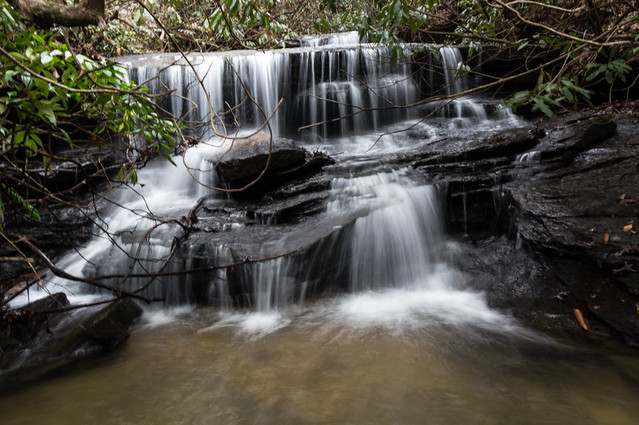
Merry Falls
Merry Falls is a beautiful roadside waterfall located just outside of Dupont State Forest in Transylvania County, NC on Cascade Lake Road. The land is currently owned by The Conservation Fund, the same organization that helped create Dupont State Forest. The approximate GPS location of Merry Falls is 35.2, -82.643, a few feet beyond a pull off on the southbound side of the road, or about 1.8 miles beyond the intersection of Cascade Lake Road and Station Road.
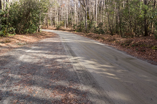
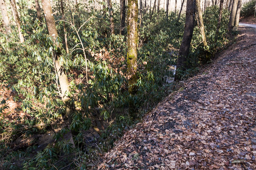
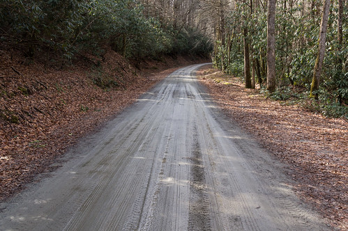
I left my car at the wide pull off near Merry Falls and walked by the side of the dirt road toward the waterfall.
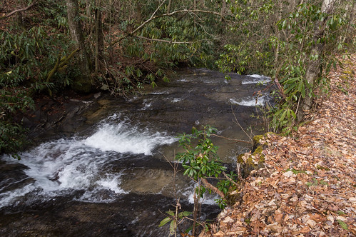
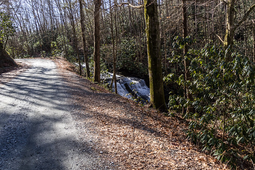
Around the bend in the road ahead, the Eastern Fork Laurel Creek is only a few feet away from the road.
About where the road bends away from the creek...
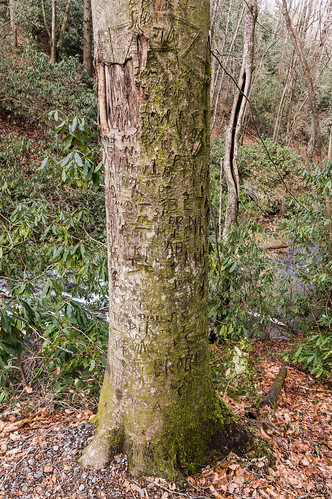
I found a trail by this vandalized tree...
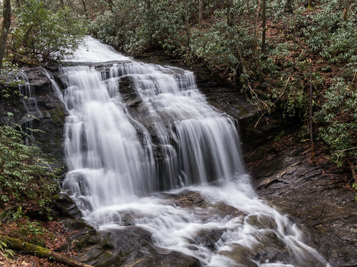
that leads down to the base. This is a view part way down the path:
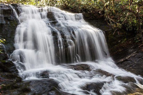
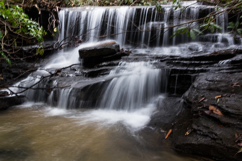
And this is the view from the base:
The sun, unfortunately in this case, came out from the clouds when I was finishing up, lighting the waterfall up from behind. I took this short video after the sun came out to show how the waterfall flows:
I headed back up the short trail. Walking back along the road, the top of the waterfall is just visible.
I continued walked up the road, past where I parked my car, to see if this creek had any more interesting features to offer. It didn't. I did find plenty of rhododendrons though.
Cannon Creek Falls
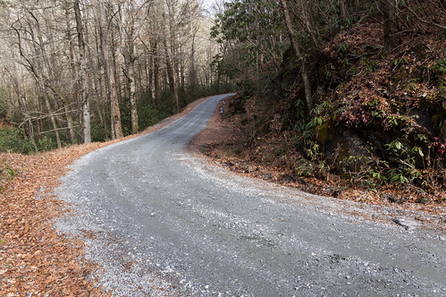
Cannon Creek Falls was my second beautiful waterfall of the day. The parking area is located off a sharp curve on Pilot Mountain Road. I headed back down Cascade Lake Road back to U.S. 276, then over to Pilot Mountain Road, then up to the parking area.
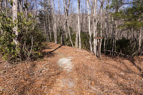
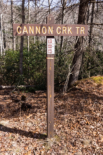
A lonely sign marks the trailhead.
Unlike Merry Falls, I wasn't exactly sure where what I call Cannon Creek Falls is located. I write "what I call" because this waterfall has no name I'm aware of, but I want to call it something for easy reference, and the name fits, so there you go.
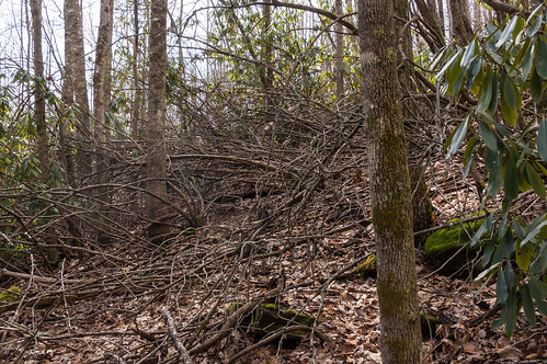
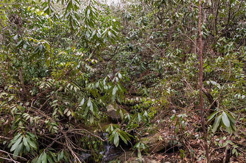
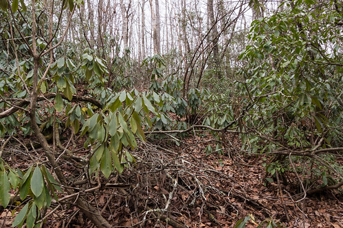
I knew the waterfall was located somewhere between the trailhead and a bridge ahead over Cannon Creek. I bushwacked my way down through an interesting amount of downed trees, mainly rhododendrons, toward the creek.
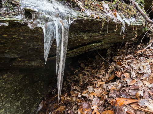
I kept going upstream through almost a rhododendron jungle, finding little along the way to interest me, except perhaps this icicle leftover from the cold wave a few weeks ago:
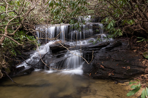
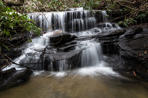
As I began following a bend in the creek, I could hear but not yet see the familiar sound of a waterfall.
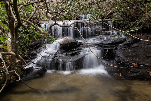
Soon I got close enough to start taking photos, but the rhododendrons couldn't be completely avoided.
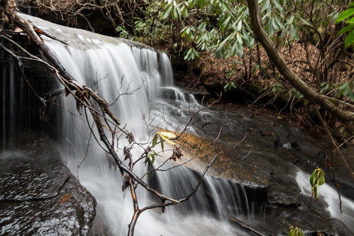
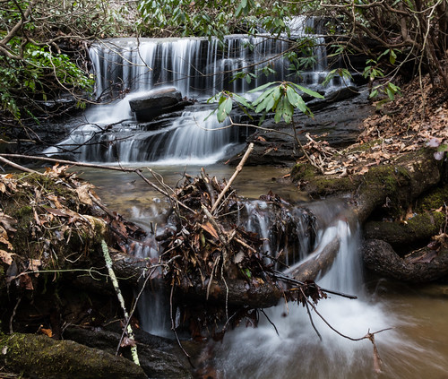
Some angles ended up working better than others. Yet none came out bad either. The clouds really helped me out here.
Before I headed back, I took this short video of the water flowing:
I found Cannon Creek Falls at approximately 35.1728, -82.6643 at a sharp bend in the creek. I found the creek not quite where my maps showed it to be. I fixed that in openstreetmap.
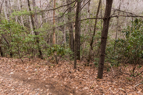
I made my way up the hill, through more downed rhododendrons,
up to Cannon Creek Trail. I recorded where the waterfall can be seen from the trail, although you can't see it in my photo.
If and when I come back in the future, I'd likely leave the trail at this point and head toward the creek.
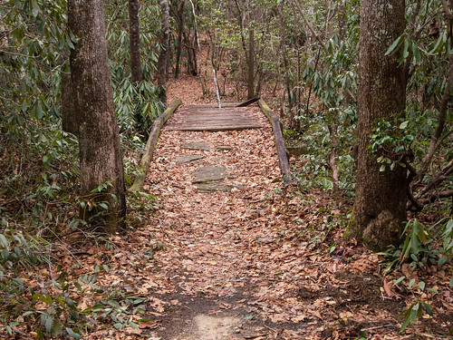
I continued on down the trail, going far enough down the trail to walk over the bridge,
and then came back. I didn't want to walk the whole trail, and I didn't have time anyway, but I did want to see if Cannon Creek had any more interesting features upstream from the waterfall. It didn't. I don't know if the rather noticeable stick was placed inside the hole in the bridge deliberately, but I thought it best to leave it there to help keep some unsuspecting person from accidentally injuring themselves.
Wrapup
I ended up taking some good photos on this trip, although some where not as sharp as I would have liked. I've shared all my photos to an album on Flickr, and you can go through them here:
I've been to Dupont State Forest several times over the years to visit its lovely waterfalls. All but one that is, Wintergreen Falls. And then recently I heard about an undocumented waterfall in Dupont State Forest, and that increased my interest in return visit even more. But first I had to locate this undocumented waterfall! I first heard about this waterfall on the Facebook group North Carolina Waterfalls . Those posting their photos of this waterfall were coy about its exact location, and asking them for more information would have been a waste of time. To get its exact location, I would have to find out on my own. My first step was to view a few photos of the waterfall to get familiar with what it looked like. A panoramic photo of the waterfall by Christopher Cockfield and a photo by Dan Goodwin both showed a sandy beach area on the left side in front of the waterfall. (Note: I tried to embed these two photos, without success. Sorry!) I was prepared to pore over a ...
I dedicated one of my vacation days this week to visit Pinnacle Mountain Falls, a waterfall located off the Palmetto Trail on Pinnacle Mountain near Table Rock State Park in Pickens County. The trailhead is located in Table Rock State Park ($2 admission fee until the busy season, then it's $5) by what is now called Pinnacle Pavilion, formerly known as The Barn. I had the area to myself, so I felt free to give the pavilion a quick looky look. I took a peek in the window, and thought about what kind of events could be held here. Then it was on to the trailhead. I took notice of this sign. I did see plenty of small, nuisance type bees going to and from the waterfall, and a few bumble bees too, but none of them showed any interest in me. The trail is blazed yellow, and easy enough to follow. The trail crosses a dirt road... before descending toward the Table Rock Wesleyan Camp . The camp was greatly obscured by greening trees, so I couldn't capture m...
With September comes meteorological fall and cooler weather, and the area experienced just that for a few days around last Sunday. My original plan last Sunday was to spend time with my ailing 14 yr old cat, Princess, but she didn't even make it past Monday. I changed my Sunday plan to a day trip and, after consulting my ever growing to-visit list, I settled on a paddling tour of Lake Summit in Tuxedo, North Carolina. I arrived there early, at least by my standards. The place wasn't very busy when I arrived. Permits are required to access Lake Summit for powered boats and personal watercraft like jet skis, but no permit is required for kayaks. Works out fine for me! However, to get a permit you must live in the Green River Fire District. The website of the homeowner's association has those details. The gate for the boat ramp was closed at the time, forcing me to walk through the pedestrian access with my inflatable kayak. I launched and headed for my first plann...


Comments
Post a Comment