The recent all-too-frequent wet weather relented for a few days last week finally allowing me a chance to visit an old grist mill on my to-visit list for some time now, Raines Mill on Fall Creek in western Oconee County, South Carolina. This one made my list because of the large waterwheel and for a number of small waterfalls located upstream on Fall Creek.
I made my way there by turning off U.S. 76 on to Chattooga Ridge Road then on to Fall Creek Road. I parked by a pull off...
and walked down the road, passing by the gated road leading to the mill, to turn down an ungated road...
I didn't want to take my car down that road in case it couldn't make it through a muddy area, like this one...
I passed by the ruins of a concrete block building...
then I wandered around exploring the mill and the waterfalls.
Raines Mill and Upstream Waterfalls
Raines Mill was built around 1914 by Luther Henry Raines
(1887-1970), a preacher and leader of
Long Creek Academy from 1914 to 1956. The mill remained in the Raines family until 1998.
The mill's most prominent feature is the large overshot waterwheel:
Raines Mill is currently undergoing restoration, funded in part
by a kickstarter.
The mill's waterwheel was fed by a sluice originating from a sluice gate a few hundred feet upstream...
down through a pipe underneath the road, then to second sluice gate...
then down to the waterwheel.
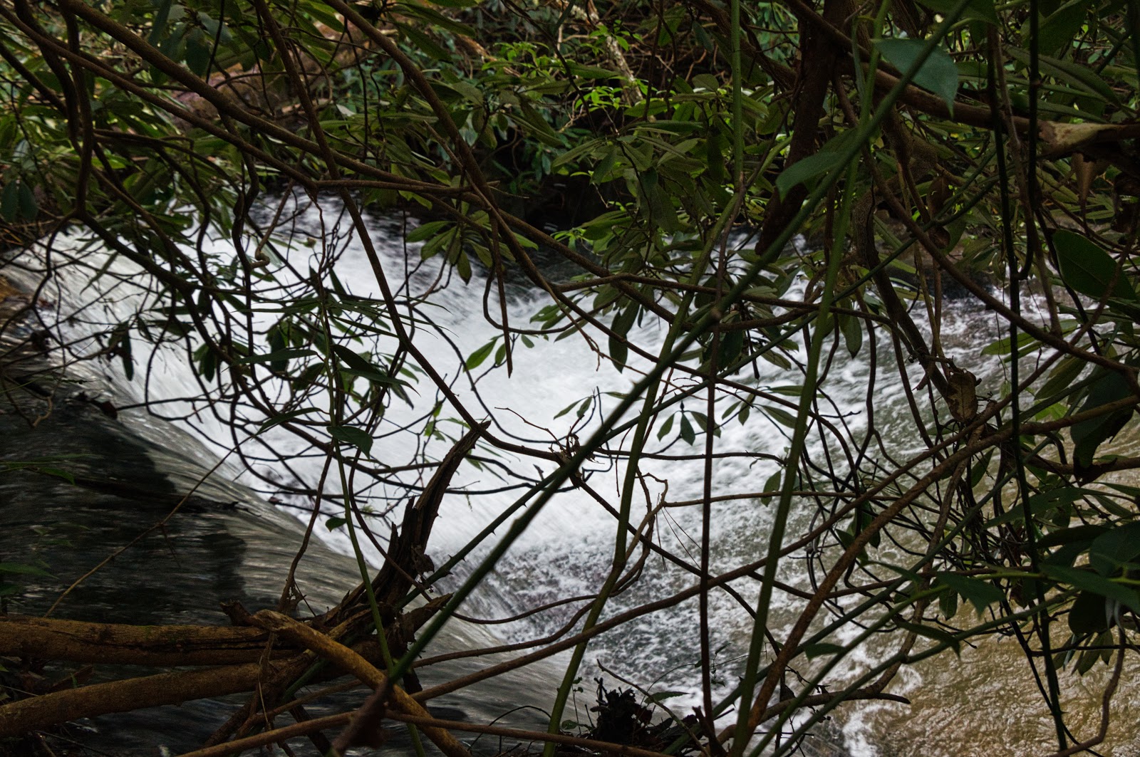
Three sets of waterfalls are upstream, the first is right by the waterfall.
The second is down a short path near the creek.
The third is a short distance upstream following down the same path:
Fall Creek Road To The Chattooga River
I made my way back to my car, then I went down Forest Service Road 722, also known as Fall Creek Fall Road, not to be confused with the public road of the same name. I parked
by the side of the road just beyond the bridge over a tributary of North Fork of Fall Creek. The trailhead is flagged with pink flagging tape that's much more visible in person than it is in this photo.
The trail ends at the Chattooga River with six (or seven if you count Upper Andrew Ramey Falls seperately) waterfalls along the way. The first is Andrew Ramey Falls. The upper portion is below:
The main portion is a short distance downstream:
Midway Falls is about midway between Andrew Ramey Falls and where North Fork Fall Creek empties into Fall Creek.
Just beyond where the North Fork Fall Creek and Fall Creek merge is the aptly named Rhodo Falls.
A few minutes down the trail I came across the ruins of what I presume was a homestead.
Fall Creek Falls (not to be confused with Fall
s Creek Falls in Greenville County) is just a short distance away from where Fall Creek empties into the Chattooga River.
Side Pocket Falls is a short walk downstream:
Final Falls is the seventh and last waterfall. I didn't get a good photo because it was about to get dark and climbing down and back would have forced me to return back in the dark. So you'll have to settle for this lousy photo just like I had to:
I did make the climb down to the river to get a glimpse of the Chattooga River and Georgia on the other side.
The trail was mostly easy to follow on the way in and out, although I did lost my way two or three times and I had to backtrack and try again. I made it back to my car just as it was getting dark. A few minutes more and I would have been forced to use my phone as a flashlight!
I visited one grist mill and ten waterfalls today in seven hours which I call a good, but tiring day! I made a map of the locations I visited today below:
I wanted to visit Pristine Falls on Fall Creek but I had to cut that due to it was getting dark. Maybe next time?
I uploaded my trip photos to
an album on Google Photos for your viewing pleasure (displeasure?). Happy hiking!


Comments
Post a Comment