I have some time off this week, and I've been planning a few adventures to fill the time. The previous day I went on
a ramble in Spartanburg and Greenville Counties. Today's adventure, the second of three this week, is a visit to Sids Falls (or Sid's Falls) on the Shoulder Bone Branch near the Battle Creek community of Oconee County.
Sids Falls is named in honor of Sid Ballenger Jr., an Oconee County teacher and waterfall enthusiast who spent many years, along with friends Maxine Duke and John Danner, exploring Oconee County for waterfalls. He compiled his knowledge into the first book about Oconee County waterfalls,
Some Waterfalls, Shoals & Cascades of Oconee County, South Carolina. He died in 1991 at the age of 73.
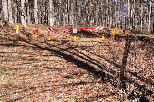
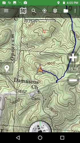
The original trail involved coming in from Long Creek Falls, but damage from a hurricane made that trail impassible. The current trailhead is at the gate for FS 2616 (Opossum Creek Road)
off Damascus Church Road near Damascus Baptist Church.
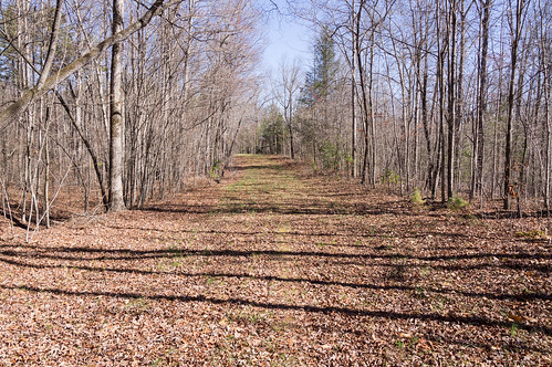
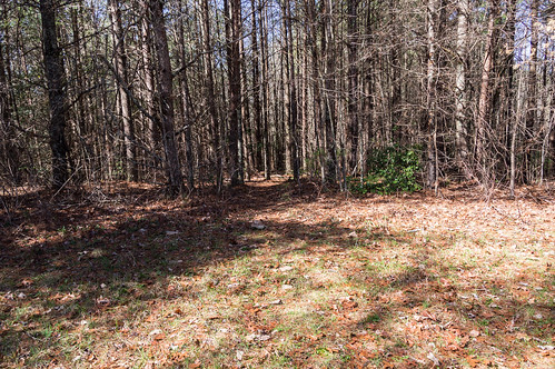
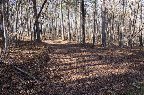
Most of the journey was along this wide, easy to hike forest service road.
The road is easily visible from satellite.
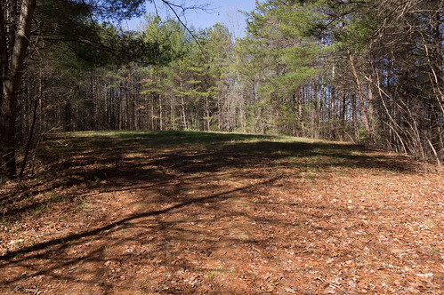
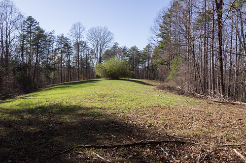
You will pass by three meadows before the forest service road ends at the fourth one.
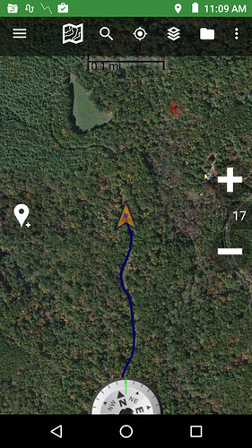
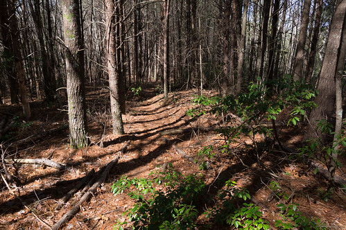
Bernie Boyer,
a North and South Carolina area waterfall enthusiast, found another path
from studying Google Earth, and cut a new path beginning at the end of the fourth meadow:
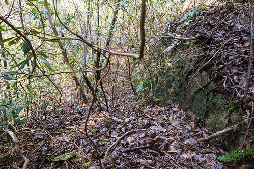
The trail starts with a gentle downslope, but steepens close to the end of the trail. I used the rhododendron branches to hold on to here.
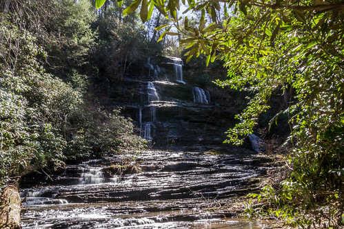
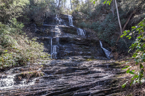
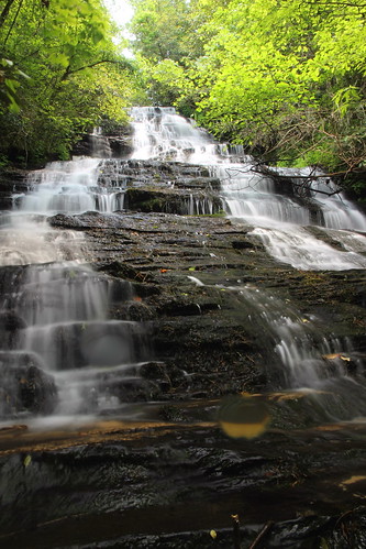
It's too bad my photos don't do the waterfall justice. When I arrived, the sun was right behind the waterfall. I discarded many of these photos.
I took a time out to eat some snack bars and drink some water. The sun moved into a not completely unfavorable position. Some of my photos turned out decent, but I've seen much better photos of Sids Falls than mine from today. Clouds would have been a big help today, and more water flow too.
This photo required some Lightroom fiddling to make somewhat presentable:
I decided not to wait around for a better angle with the low water flow. I considered heading down to Sparkle Falls by either creekwhacking downstream, or bushwacking through the dense rhododendrons on the opposite bank where the the land looked relatively flat. Creekwacking would be slow going, and so would the bushwacking. I decided to head back. Perhaps next time.
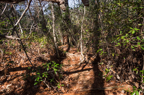
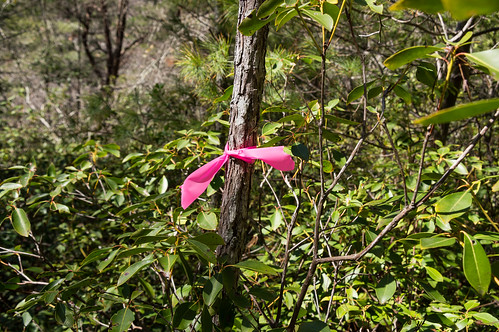
Back at the top of the ridge, I could hear a waterfall down the other side on Opossum Creek. I decided to follow a marked trail leading downhill.
However, the rhododendrons became thick and progress slowed way down. I got an idea and headed back to the forest service road. I left the forest service road to Opossum Creek and followed it downstream.
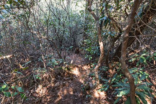
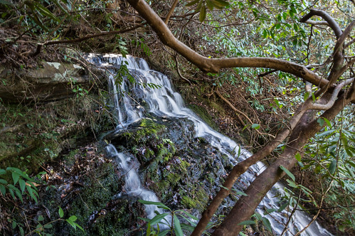
I made good progress until the rhododendrons became thick again, but I knew I was close to this waterfall so I kept plodding along. I had to make my way down a narrow ledge to get this vantage point. The waterfall goes by several names, including Upper Opossum Falls, Maxie Duke Falls, and UPossum Falls.
Getting down to the base would involve continue making my way along the ledge.
It was already slow going, and getting to the base would take plenty of time. I'd also need plenty of time to make my way out. Getting back out of where I was would take a while as it was, so I decided to try again some other time. Next time I'll probably try the other trail again now that I know where Upper Opossum Creek Falls (or the name of your choice) is located.
Others with more perseverance than yours truly have made it to the base, including Andy Kunkle of "Team Waterfall":
I made my way back to the gate to store away my backpack. I found out there's something you can't escape, even in the middle of nowhere.
Yep, religious pamphlets!
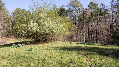
I left my backpack and took my camera down the other forest service road (Rholetter Road) where my old topo map showed a dot at the end of the short road.
I stood on top of the dot where the structure once stood.
Nothing here now...
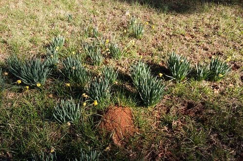
... but
the presence of daffodils is strongly suggestive a house once stood here:
With that done, it was time to go home and get ready for the next day's adventure.
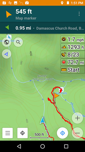
I've created
a track map with Google Maps and
a track map with uMap. Google Maps has a satellite view, and uMap doesn't, but the map in uMap is downloadable in gpx and kml where Google Maps is just downloadable in kml/kmz.
I've also uploaded my trip photos to
an album on Flickr..
I definitely want to come back and check out Sids Falls again, especially when the water is flowing. I'd also like to explore this area some more to find some more of the obscure but known waterfalls in the Opossum Creek area
I've seen on Flickr.


Comments
Post a Comment