Second visit to Reid School
Back in 2011, I stopped by here to visit the location of Reid School in Taylors, South Carolina under the assumption the school building was gone. Since then I've learned much of what older schools looked like from my association with historic school architecture expert (among his other talents) Tom Taylor at RandomConnections. Since then, I've also gained a greater knowledge of online maps, including aerial maps, to help learn the exact location of schools and other points of interest. This time I'm taking another look at Reid School and what I've learned from the free resources available in 2017.
The land for Reid School was purchased in 1923 by the trustees of Reid School District #9-e in Deed book 76, page 170. One thing I've learned to be wary of since 2011 are dead or changed links. In the case of Greenville County's pre-1985 online deeds, the link template has changed once already. Here's a snippet in case the link template changes yet again.
The SC Digital Library contains a collection of school directories starting from 1912. The directory from the 1923-24 school year does not list Reid School, but the one from 1924-25 does:
The last listing is in the 1968-1969 school year directory:
Reid School is missing from the 1969-1970 directory:
The school property was sold off in late 1969 in Deed book 888, page 280:
I've found maps over the years the show the school. The first one being a 1938 USGS quad map. This snippet is from the USGS Historical Topographic Map Explorer so I can overlay a modern map over the old one:
This locates the school off Reid School Road near the intersection with SC 253 (State Park Road).
A plat in Plat Book W page 67 from a neighboring property narrows down the location even more:
The current property lines as shown by the Greenville County GIS's webapp remain mostly the same, where it counts for Reid School that is:
I've also been using aerial photos from the SC Digital Library and from historicaerials.com to help find the exact locations of old buildings. The buildings aren't rendered in enough detail to get an good idea of what building looked like, but it is good enough to identify there is a building. In this case, the aerial map isn't necessary, but it does demonstrate another tool useful in finding old buildings so I'm going to show it off anyway.
This is a closeup of the school location a 1970 aerial from the SC Digital Library.
This view is rather fuzzy. The 1978 view, the last one available on SC Digital website, is even worse. However, when I line up this aerial view with a recent satellite view, the black shape in the middle of a bright area can be identified as the school building. There church building is not yet next door.
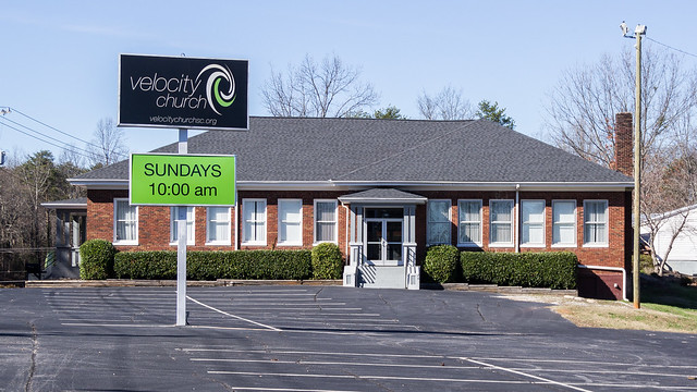
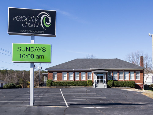
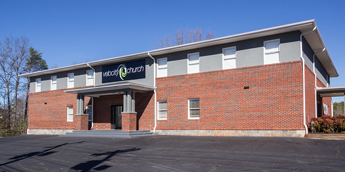
The school building is on property currently belonging to Velocity Church.
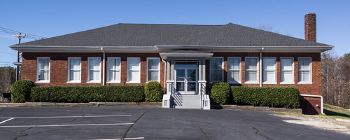
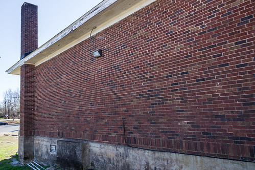
It's obvious to me now this is renovated school building, but back in 2011 I had no clue.
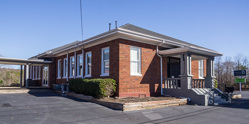
A chimney (not found at modern churches!) and an aging foundation should have clued me in this building was much older than the church building.
If you read last week's post, you'll know my Sony A55 died mid-shutter at Wintergreen Falls in Dupont State Forest, forcing me to use a cell phone camera for the remainder of the trip. Last week I bought a used Sony A55 off eBay that came with a lens identical to the one I have on my still dead camera for a good price. I was going to buy a new lens anyway because the lens on my dead camera has a scratch right in the center, and also some dirt had made it's way inside the lens over the years. The verdict is still out whether my first A55 is gone for good.
My new old camera should tide me over a few more years until I can buy a new camera I'm sure will be much better than my current one in every way. I went out today to make sure the camera works, and it passed the test.
I've uploaded the few photos I took from this trip to an album on Flickr and an album on Google Photos.



.jpg)
I saw your photos of this on Flickr but just hadn't had a chance to read about it until now. Good detective work.
ReplyDeleteI've started collecting these "single name" churches - Velocity Church, Edge Church, Radius Church, etc.
Ahhh yes, those churches! They seem to follow the modern church template: the single name, "grab a coffee", the multimedia concert, the spectacle, casual dress, etc. like this Youtube parody:
Deletehttps://www.youtube.com/watch?v=3RJBd8zE48A
Not to get you to visit one, lol....
Hi! My in-laws live next door to the old Reid School, where my father-in-law went to school as a child. His uncle and father are the two Bridges mentioned in the 1969 deed. The church let my father-in-law have his 80th birthday in the old school and he showed everyone where he would leave his lunch pail and where he would get his "whoopin's."
ReplyDelete