A "secret" waterfall in Dupont State Forest

I first heard about this waterfall on the Facebook group North Carolina Waterfalls. Those posting their photos of this waterfall were coy about its exact location, and asking them for more information would have been a waste of time. To get its exact location, I would have to find out on my own.
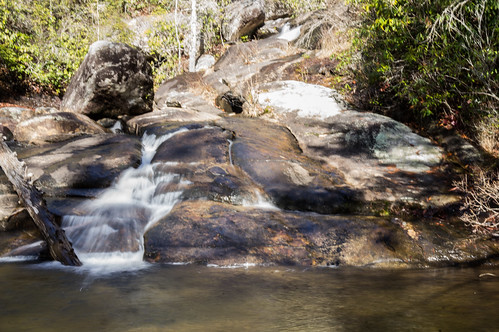
My first step was to view a few photos of the waterfall to get familiar with what it looked like. A panoramic photo of the waterfall by Christopher Cockfield and a photo by Dan Goodwin both showed a sandy beach area on the left side in front of the waterfall. (Note: I tried to embed these two photos, without success. Sorry!)
I was prepared to pore over a topo map of the area to identify possible locations, but it turns out I didn't even have to do that. I remembered the website WNCWaterfalls.info has a nifty interactive map explorer feature, and I decided to try using that map first.

The map represented known locations with a darker green marker that, when clicked, pops up several tabs of information about the waterfall (including GPS downloads of the location). Lighter green markers are used for suspected or unconfirmed locations of waterfall.
Zooming in to an area of the park I already suspected showed promise.


Yesterday was unusually mild, a perfect day to be outdoors. I picked a good time to take some vacation for a welcome change.
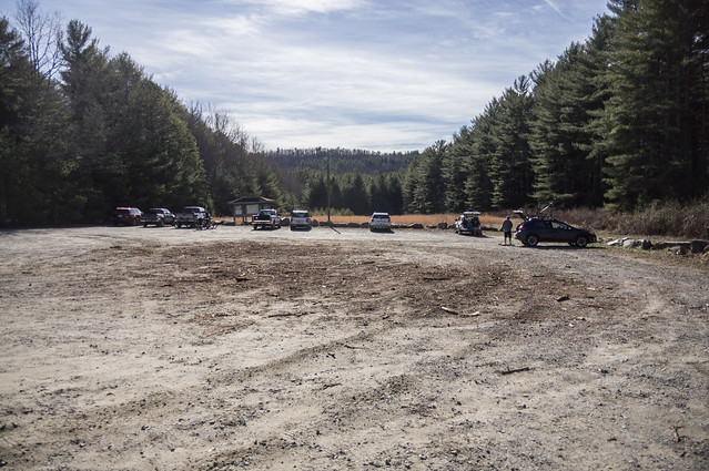
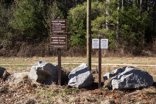
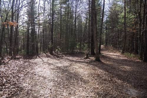
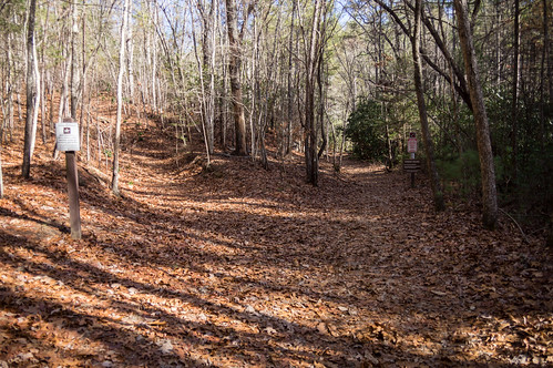
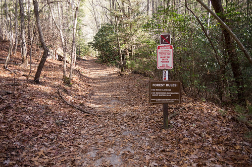
The nearest parking access to this waterfall I knew of was Guion Farms Access Area in the northeastern part of Dupont State Forest. This parking area is off Sky Valley Road in Henderson County, and is paved when coming in from Dupont Road until it passes Old CCC Road, then is unpaved for the rest of the way.
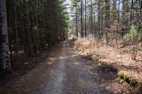
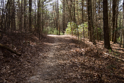
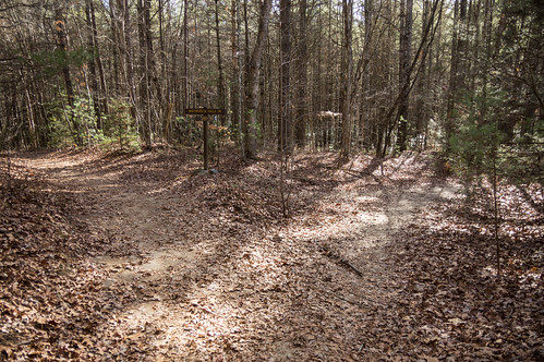
The path I selected took me from Tarkin Branch Road to Wintergreen Falls Trail.
However, I was determined to press on. I still had the camera from my GPS tracker, a Moto E 2015. The camera wouldn't be in the same class quality wise, but at least I'd leave with something to show for it.
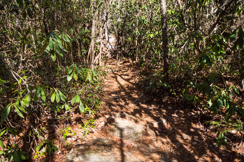
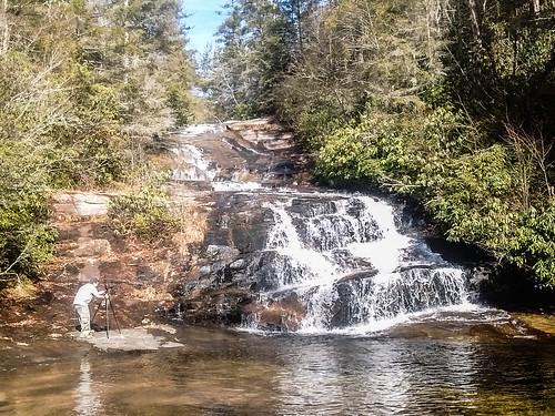
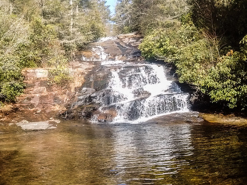
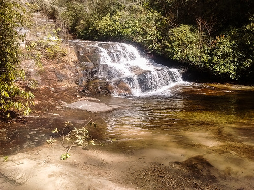
I backtracked to the trail to Upper Grassy Falls. This trail was narrow and sometimes windy, yet surprisingly easy to follow. In a just few minutes, I had found my target. To my surprise though, a group of three people were already there, having arrived from a different path. Perhaps this waterfall isn't much of a secret after all?
They took turns with their cameras taking photos from various angles.
I was curious, though, which way those other photographers came from. When I left the Guion Fark Access Area, I heading down Sky Valley Road to play a hunch. Beside where Grassy Dam Trail meets the road is a small parking area, enough for three cars, and two cars were parked there. I suspect that's where those people came from. When I get a working camera again, I'll have to come back and investigate this path some other time. It looks shorter, but potentially more strenuous.
I made a Google Map of my trip, with the parking areas and waterfall locations labeled.
I also made the same map with uMap because why not?.
I've shared my trip photos to an album on Flickr and an album on Google Photos.


Looks like a great hike! How long did it take you? Miles? I'll be looking to get some friends together for a hike real soon :)
ReplyDeleteThis route was about 1.5 miles to Wintergreen Falls from the parking area, then about 0.3 more miles to "Upper Grassy Creek Falls" (following the unofficial trail).
DeleteHave you found the "Another secret waterfall" that's about 12' high?
ReplyDeleteThe one on Cannon Creek? I haven't yet visited it, but it's high on my to-do list.
DeleteI didn't know where it was. We just followed your directions to the one above Wintergreen last week and I hoped you'd know where the other one was too :)
ReplyDeleteDang it, I wish you wouldn't have published this. It's one of those places that the less people know about it, the better, in my opinion.
ReplyDeleteI agree with Johnny. Let's keep some secrets. :)
ReplyDelete