Back in February, I visited Todd Creek Falls and Waldrop Stone Falls in the Clemson Experimental Forest near Six Mile in Pickens County. This week I found the time to visit a few more points of interest in the same area.
First was a visit to a waterfall on a tributary of Todd Creek.
The parking area for this waterfall is on
the south side of Brookbend Road, a short distance west of a bridge over Todd Creek. Get directions to the parking area
with Google Maps.
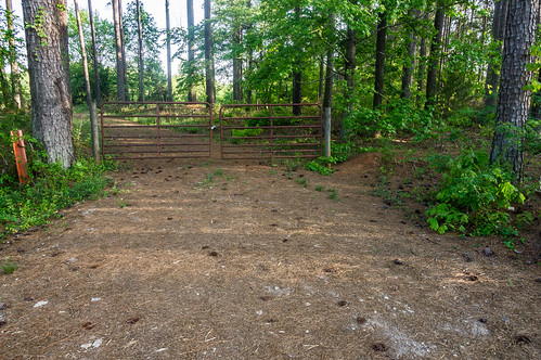
The road is gated with metal cable.
Park on either side, and please do not block the road.
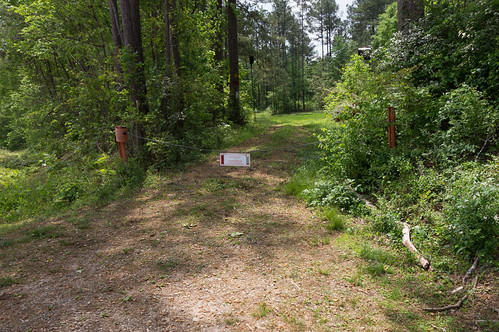
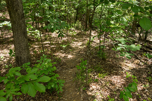
I followed the directions to the waterfall in
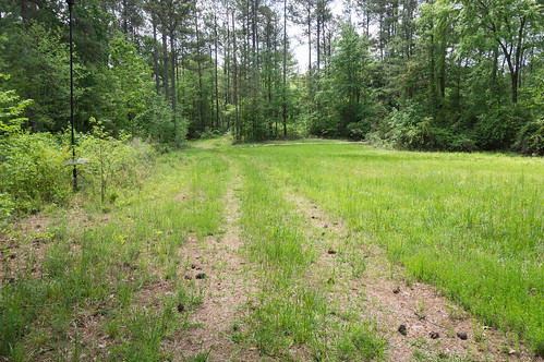
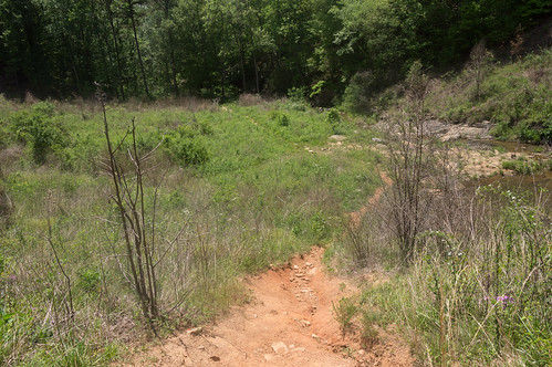
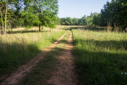
this PDF of a student slideshow. Walk down the road, through a meadow.
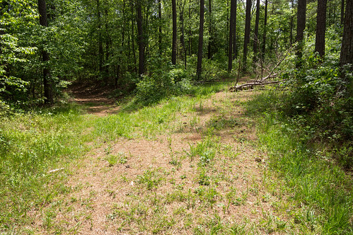
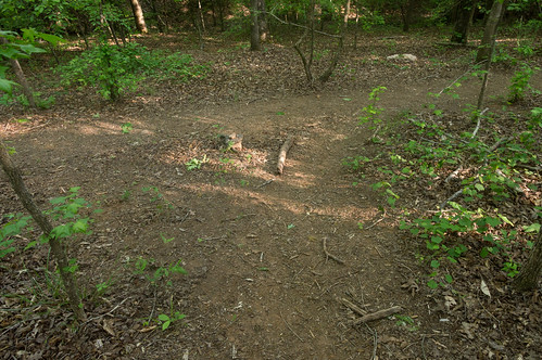
At the end of the meadow, the trail will fork.
Take the right fork. Just before the road goes over a culvert, you should see a plainly visible trail heading left. You should also clearly hear the waterfall.
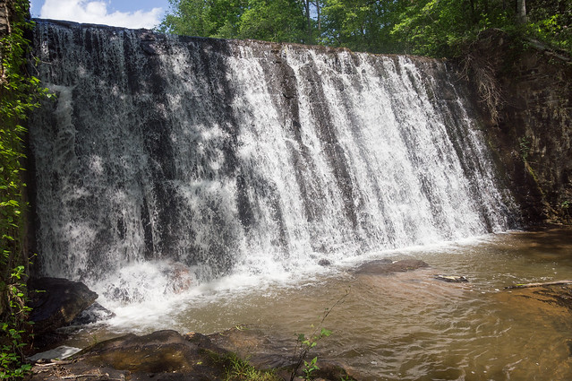
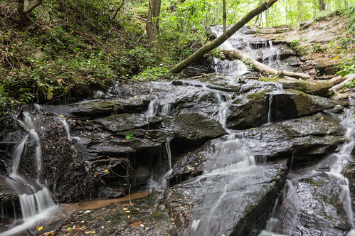
Follow the short trail to the base of the waterfall. The part that goes to the base is rather steep. I chose to slide that part.
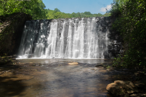
This waterfall is quite nice, even with the dead trees in the way.
And it only took me between 5 and 10 minutes to get here. Nice!
Next it was over to the Todd Creek Falls parking area, a short distance away on the north side of the road beside the bridge. Get directions to this parking area
with Google Maps. Cross directly over to the south side of the road where the path begins on the south and east side of the bridge.
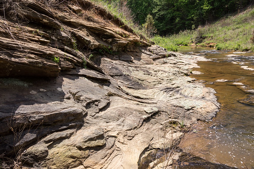
Back in February I was here to visit the waterfall and the spring. This time I'm here to visit a dam used by a grist mill.
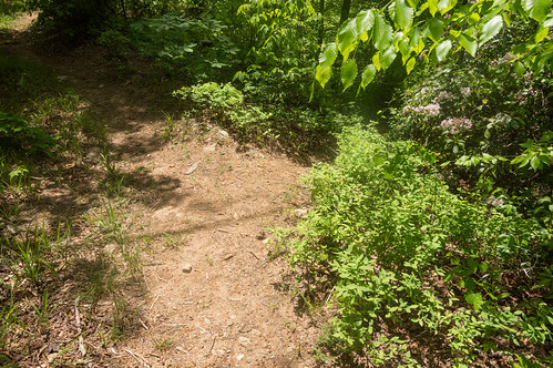
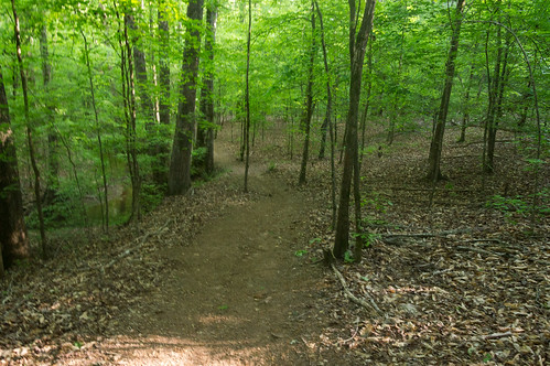
The path is just as easy to follow as my last visit, though the vegetation is beginning to get tall.
Follow the path past a rock ledge at a bend in the creek.
At a fork, head right down a steep slope.
A spur trail will take you to down Todd Creek Falls. I had already seen it in February, so I took a few quick photos and kept going.
This path also goes by the spring. I didn't spend much time here either.
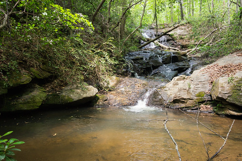
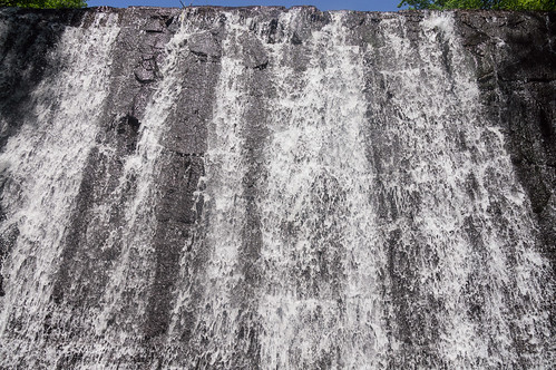
A short time later, I spotted the spur trail heading to the right and down to the dam. It was easy to spot in person, but a bit obscured in this photo:
I stood in the creek while taking these photos.
I spotted what looked like a path on the other bank, and after wading across I found it was indeed a path. This path led to a logging road I explored for a bit, but didn't find anything as interesting as the dam (I don't think horse poo counts).
I did accidentally startle a snake on the way back to the parking area, but it moved so quickly into the creek I didn't get a photo.
My next destination was the Wildcat Creek Picnic shelter near Issaqueena Lake to visit Wildcat Creek Falls. The gate to the picnic areas was closed at the time I visited in February, but is now open until November.
The entrance to the picnic area is just before where Issaquena Lake Road crosses over Wildcat Creek. Get directions to the picnic area entrance
with Google Maps.
A small foot bridge connects with a path leading past two outhouses then to a logging road.
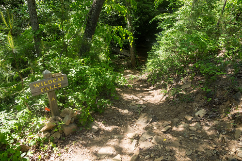
The logging road closely follows Wildcat Creek.
The creek starts off to the right of the road, but switches over to the left side for a short distance, before switching back to the right again. While the creek is on the left side, watch for the sign on the left pointing to the waterfall.
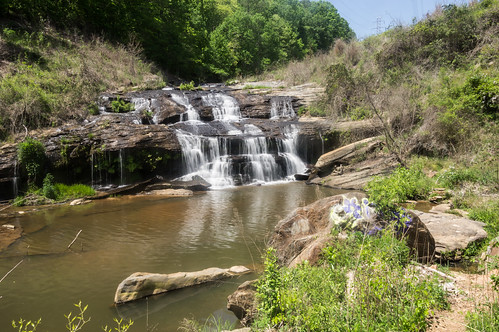
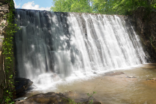
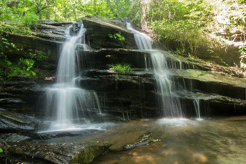
Of the photos I took of Wildcat Creek Falls, this one is my favorite:
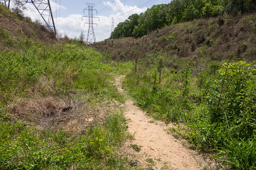
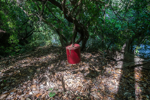
I walked back to the Wildcat Creek Picnic area, and this time I took the next logging road down Issaqueena Lake Road.. This logging road stayed close to Six Mile Creek. I thought I'd see if could find any waterfalls in the creek.
The most interesting thing I found, actually the only interesting thing I found, was this red painted metal can suspended by rope from a tree.
It took a lot of time to not find any waterfalls, so I had to find something to show.
Last is Meadow Falls, the southern most waterfall visited this day
On the south side of R C Edwards School Road, between Old 6 Mile Road and 6 Mile Highway, is a parking area to access a network of trails. Get directions to this parking area
with Google Maps.
Park along the side of the road without blocking the gate. Down the road, you will see...
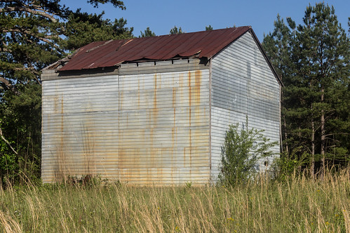
... an abandoned building off to the left.
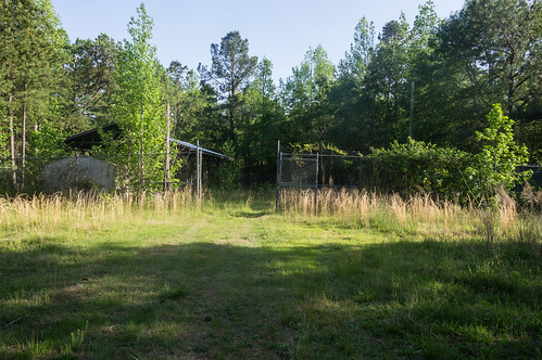
Keep following the road, then head right past this fenced in storage area, so it's to your left:
The path to the waterfall begins on the back side of the storage area, heading downhill toward an intersection:
Head to the right and follow the path...
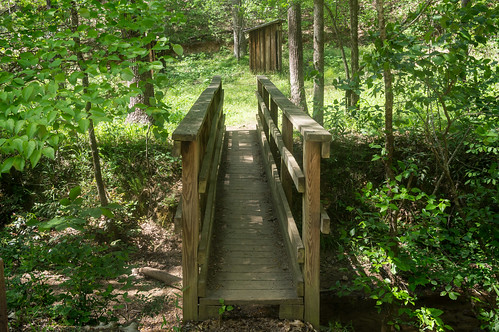
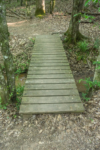
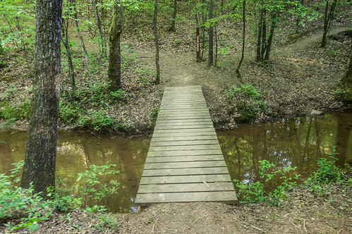
until you cross over two small bridges:
Then head right after crossing over the second bridge.
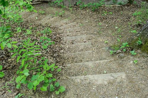
The path approaches Meadow Falls from the high side. Once you pass the waterfall, look for a side trail to the right heading down a set of stairs.
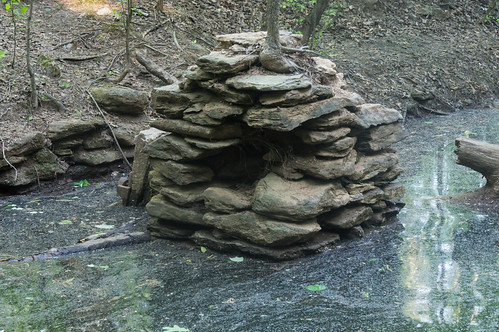
At the bottom, the remains of a grist mill are visible in the water.
Meadow Falls isn't as pretty as Wildcat Creek Falls, but it's still pretty good:
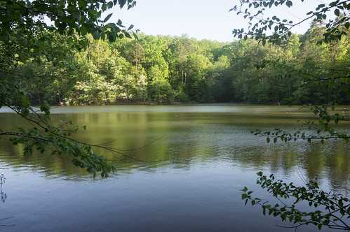
The pool in front of Meadow Falls is actually part of Lake Hartwell, seen here:
You'll also notice I'm almost out of light, making it time to head on home after a busy day exploring.
I saw nobody the whole day, except on the way back from Meadow Falls I spotted some people on bikes and a couple with unleashed dogs (sigh).
As usual, I uploaded my trip photos to
an album on Flickr and
an album on Google Photos. I've also added these waterfalls to my (incomplete) map
Upstate South Carolina Waterfalls.


Comments
Post a Comment