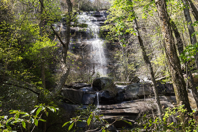
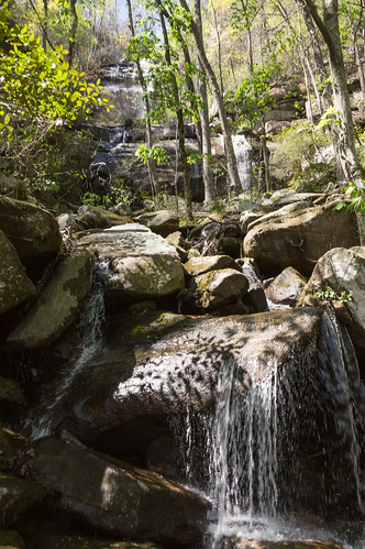
Pinnacle Mountain Falls, or Waterfall Obscura
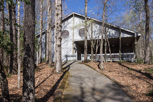
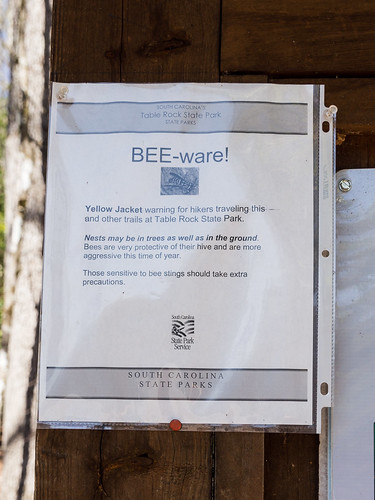
The trailhead is located in Table Rock State Park ($2 admission fee until the busy season, then it's $5) by what is now called Pinnacle Pavilion, formerly known as The Barn.
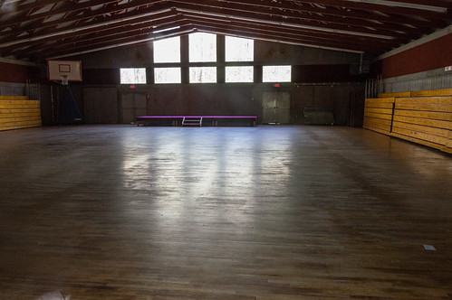
I had the area to myself, so I felt free to give the pavilion a quick looky look.
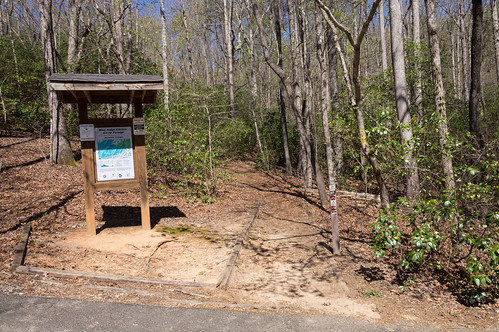
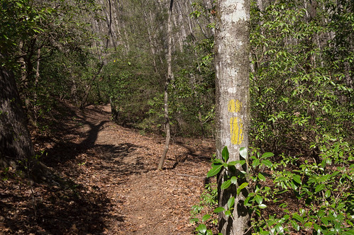
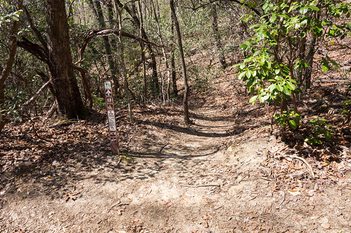
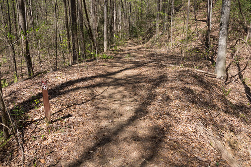
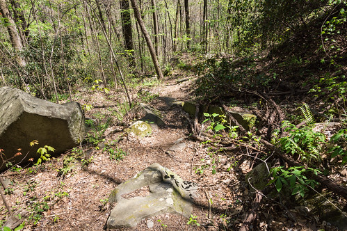
The trail is blazed yellow, and easy enough to follow.


I stopped a while to cool off and eat a small lunch before heading back.
On this trip, I brought along three GPS devices. First was my old AMOD AGL3080 GPS logger, second was my trusty Nexus 7 2013, and third was a new device I had just received a few days ago, a Moto E 2015.
The Moto E 2015 I bought to use as a music player and perhaps use instead of my Nexus 7 2013 for trail navigation. I will not use it as a phone (it's locked to Sprint, not that it mattera). The Nexus 7 is a great tablet, but rather big to take on the trail.
The Moto E 2015's screen is 4.5 inches, a more better size. I've installed CyanogenMod 13 on my Moto E 2015 to get rid of the bloatware and update to the latest version of Android, 6.0 aka Marshmallow, instead of 5.1 that came with the phone.
I uploaded my tracks to Google Maps...
The three tracks are in separate layers. On both maps, the blue layer is for the Moto E 2015, green layer for the Nexus 7 2013, and red for the AMOD AGL 3080.
Google Maps has a satellite view, but mislabels the Palmetto Trail as Foothills Trail, and doesn't show the trail to the falls. I'm not going through the layers of moderation to add it either. uMap, based on OpenStreetMap, shows the spur path to the waterfall (I could have easily added it if it weren't already there).
Both the Moto E 2015 and Nexus 7 2013 receive GLONASS satellites in addition to the GPS ones. The AMOD AGL 3080 does not receive GLONASS satellites. The tracks from the Moto and Nexus were recorded with OsmAnd+ every three seconds. The AGL 3080 track was recorded every second, then filtered with GpsBabel to reduce the file size under 5 Megabytes because Google Map Maker rejects uploads that of that size and larger.
In the future, I'll probably leave my Nexus 7 2013 and my AMOD AGL 3080 at home. The Moto E 2015 performed just fine for my needs, and outperformed the aging AGL 3080. The only downside to the Moto E (and the Nexus 7 2013) vs a Garmin device is the screen is somewhat difficult to see in bright sunlight, but considering the price I paid ($45 new on ebay ) I'm completely satisfied!
Some other time, when the leaves are gone again, I may come back for a close up view to see if I can do any better.
All photos from this adventure are on an album on Flickr and an album on Google Photos.


Comments
Post a Comment