Over the past several years I've been exploring with cameras, I've visited many of the major and minor waterfalls in Greenville County. Lately, I've expanded my waterfall explorations to Pickens County with visits to
Pinnacle Falls,
Todd Creek Falls and Waldrop Stone Falls. With last Friday's visit to Table Rock State Park, I've added a few more waterfalls to my "visited" list..
Table Rock State Park is
located in northern Pickens County off S.C. 11, a short distance south of Greenville County's western extension. This state park was developed by the Civilian Conservation Corps from 1935-1941 by creating a lake, cabins, hiking trails, and other amenities. I've been here before, but it's been a few decades.
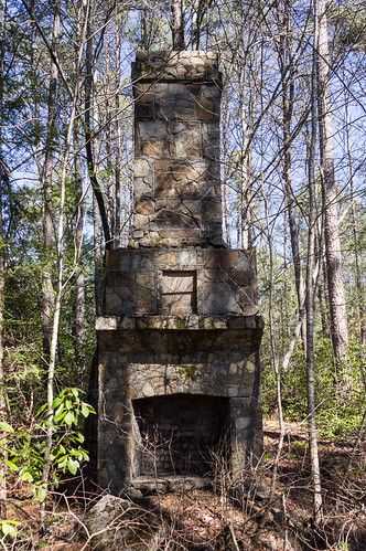
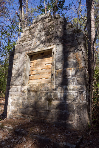
The workers stayed in a camp a
short distance south of the park off what is now Tuscarora Loop road. I found some of the ruins, with the most visible remains being the recreation hall chimney:
and the bulletin board:
The ruins are listed n the national register as
Table Rock State Park CCC Camp Site.
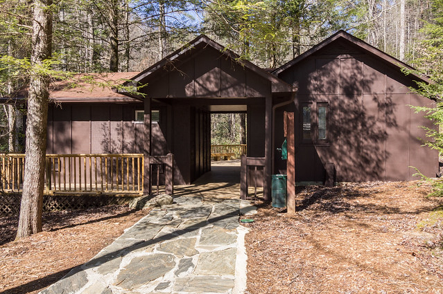
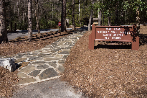
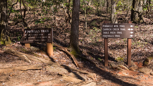
After depositing the fee at the gate, I parked in the West Gate Parking Area (
get directions from Google Maps). The trailhead, and the nature center, are a short distance across the street.
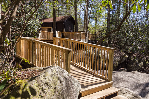
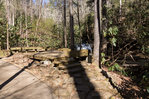
I registered at the nature center - a great idea even if you're not traveling alone - and began the short journey to Carrick Creek Falls.
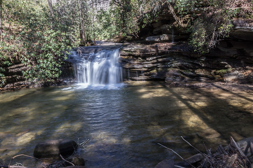
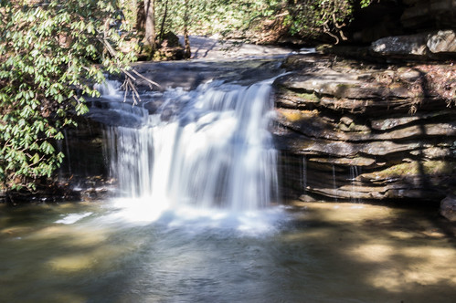
The viewing platform provides a great view of the waterfall.
While the waterfall does does have a small drop, it's still a beauty.
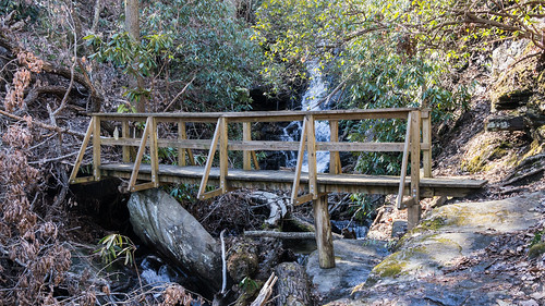
The trail crosses the creek a few times, and then over a bridge. Where the path splits in two directions, I followed Table Rock Trail off to the right.
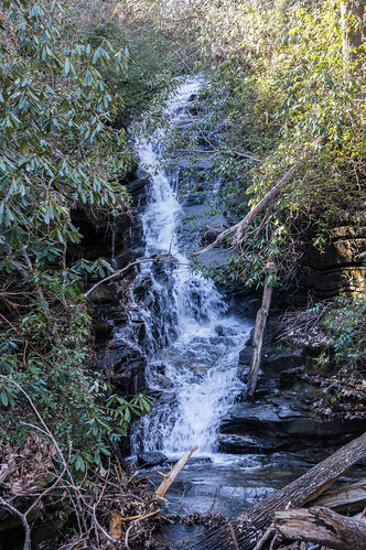
After crossing over a bridge over Green Creek, I found a place to descend to the creek and walk a short distance in the creek upstream for a better view of Green Creek Falls.
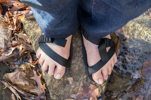
<opinion skipable="yes">
At one time, I wore heavy, clunky, waterproof hiking boots on trips like this. Then I switched over to Teva sandals, then later to the lighter, thinner, more flexible Pah Tempe sandals by Unshoes shown in this photo:
I much prefer walking right through a creek with sandals than rock hopping with hiking shoes. Their only flaw for my use is my feet slip off when going down a steep downhill.
Unshoes came out with a new sandal a few months ago, the Unita, adding a toe loop for stability. I've had the Unita since late November, went on adventures with them, and steep downhills have not been a problem. And they're still good in water, like here where I'm standing in Green Creek.
</opinion>
I was able to get a good view of the waterfall, but the dead tree obscures the view. It is what it is.
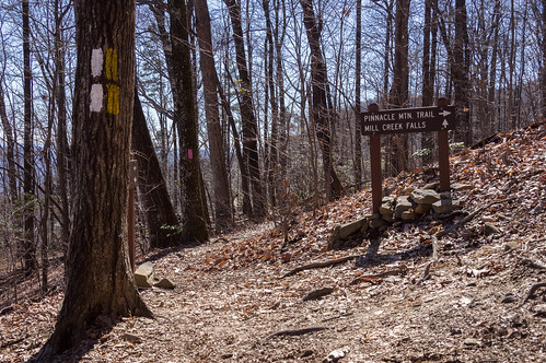
I walked back to the trail intersection, this time heading down the path that includes Pinnacle Mountain Trail. My goal now is to reach Mill Creek Falls, about 3 miles away from the Nature Center.
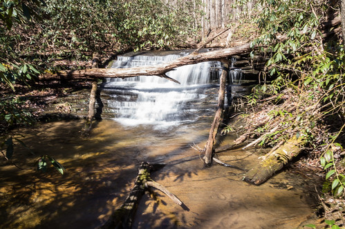
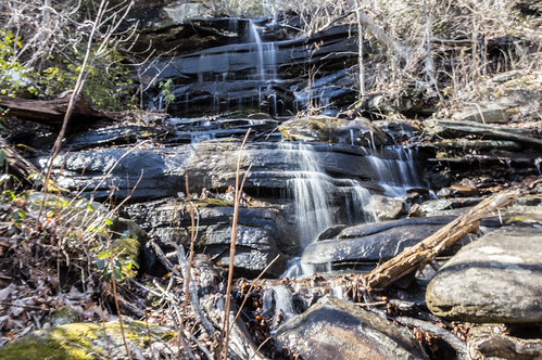
I encountered a number of small waterfalls and cascades along the way, one of which is this one:
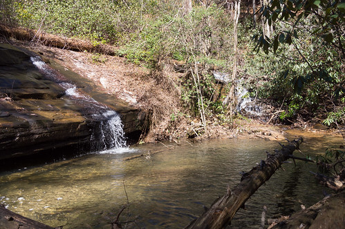
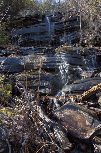
Another was this unfortunately lit waterfall:
A short distance away was another poorly lit waterfall, this one is called Spring Bluff Falls. This is a great place to get wet, whether you want to or not!
A short distance beyond the 2.5 mile trail marker is the intersection with a spur trail to Mill Creek Falls.
Until this point, Pinnacle Mountain Trail has been on a slight to moderate incline the whole way. I stopped two or three times to rest whenever I got a bit winded. The spur trail is overall a slight decline in elevation until it reaches the creek, then it turns uphill a few hundred feet until reaching the viewing platform.
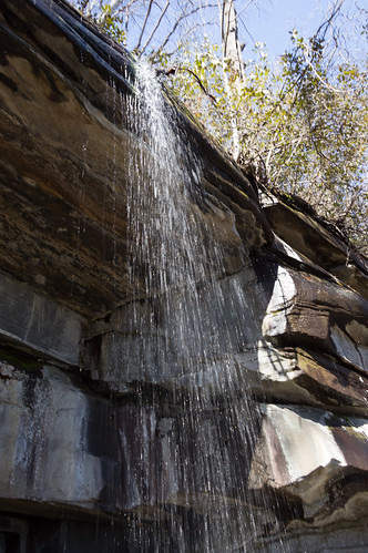
From the platform, the waterfall looks like this:
Where the trail meets the creek is the top of another waterfall, but getting a shot of that waterfall would require sliding down a very steep slope, require a lot of time, and some risk. I decided to nope that opportunity.
Downstream from this waterfall is
Pinnacle Mountain Falls. Getting there from Mill Spring Falls would require that steep bushwack I wasn't willing to risk. The official, approved way to get there involves hiking the Palmetto Trail from a different trailhead than the one I left from. This waterfall will likely be my next waterfall adventure.
I will also visit the summit sometime, but that's not in my immediate plans.
I've shared my trip photos in
an album on Flickr and
an album on Google Photos.


Comments
Post a Comment