Last Friday featured mild temperatures and low humidity, a perfect day during August to visit the
Blue Wall Preserve. The
Blue Wall Preserve is a 575 acre nature preserve owned and managed by
The Nature Conservancy located in northeast Greenville County off Pennell Road a few miles west of Lake Lanier. The preserve, acquired in 1997, also serves as an access point to the
Blue Wall Passage of the Palmetto Trail, a trail through the preserve up to Vaughn's Gap
that opened in 1999.
The parking area for the preserve is on Pennell Road at approximately
35.184556, -82.248266. I found I had the place all to myself:
I walked around the bright yellow gate down the old road:
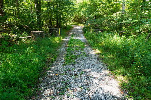
The pavement ends near the bridge crossing over Vaughn Creek:
The bridge could definitely use some work. Be careful:
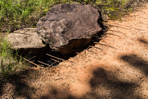
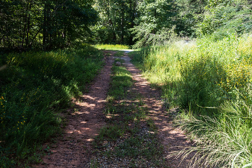
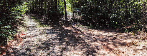
The road beyond the bridge is gravel and dirt:
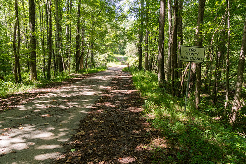
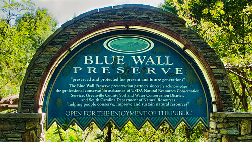
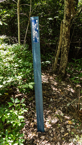
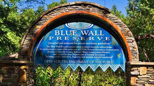
A lovely sign sits near of another gate.
One side was obscured by high weeds, and the other side was backlit. I did my best with the digital tools I possess to bring up the shadows and tame the highlights without making the sign look fake HDR-ish, and then crop out the stonework obscured by weeds:
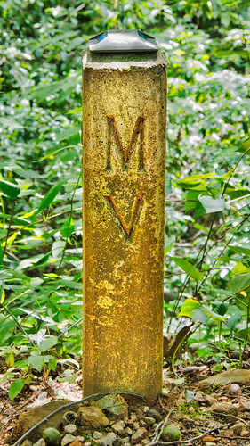
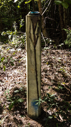
Walking down the road toward the first lake, I spotted a concrete post with the letters "MV" embossed and a blue reflector on top.
This was the first of several more concrete posts like this I'd spot later on. I had no idea what it could mean.
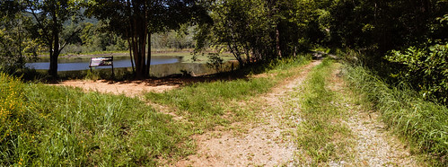
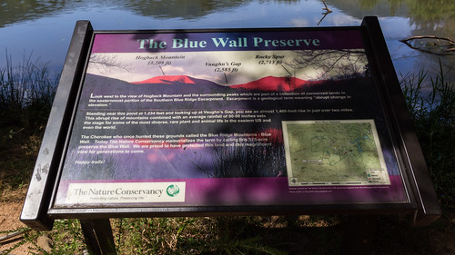
As I approached the first small reservoir, I could see a side road heading left and an information board:
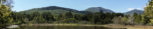
The board provides information about mountains seen by the shore of small reservoir:
The view is fantastic! I made this panorama from several photos and pasted together later:
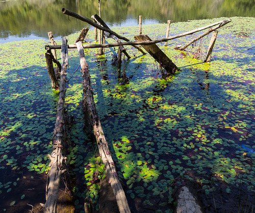
This reservoir appears to be gradually filling in. I didn't see any trail markers (I found one later on ton a tree that had fallen), so I headed left to look at what remained of a dock:
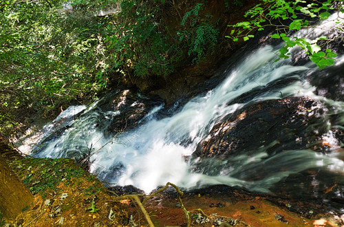
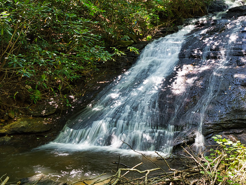
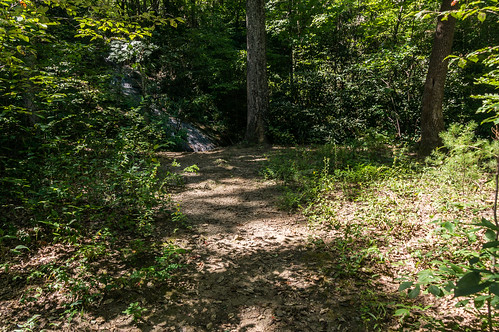
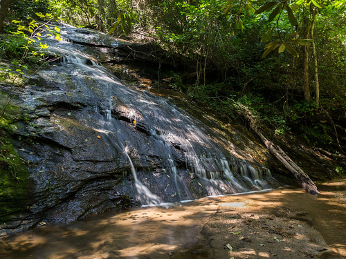
I followed the road until I came across an obvious path by a creek where I could see the top of an undocumented (as far as I know) waterfall:
I followed the obvious path to see if would get me to the base. The path got me close, but I had to find my own way the short distance down to the base. Unfortunately, the lighting was such I didn't end up with a usable photo of the whole waterfall, but I did get at least one photo of the right and left sides:
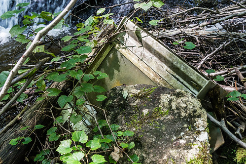
Among the deadfall was a machine I could not identify, but one of my Facebook friends (thanks Tyler!) identified this as a newspaper vending machine:
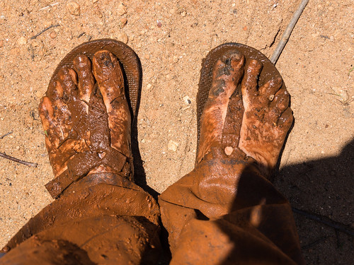
After getting a surprise mud bath up to my knees after stepping into what I thought was solid ground...
I made it back to the road. That photo above is the most popular photo in my trip album on Flickr and it's not even close. Interesting.
The road actually continues down by a building that stood when the place was a retreat for the Spartanburg Cement company and the land owned by CEO
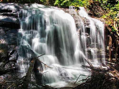
J. Roy Pennell Sr., but I didn't head that way. Instead, I went back to the main road down the second reservoir. On the way, I spotted some flagged tape attached to tree branches. Maybe an better trail to the waterfall's base is under construction?
I sure hope so. That waterfall is more interesting and has better water flow than the other known one I'll visit later on.
I made it to the second reservoir, which had no good views, and once again turned left. So far I had found five concrete posts stamped with the letters "MV" and I still had no idea what it could mean. Near the fifth post I spotted I found this water right of way marker, and then it became clear:
Those posts marked the location of a water line and "MV" probably stood for "Master Valve". That would also explain the blue reflector on top of the post:
Later, I found
a link to someone asking a similar question and the answer confirmed my thinking.
I found what was likely one end of the loop trail, where a documented waterfall can be found. I made a right turn:
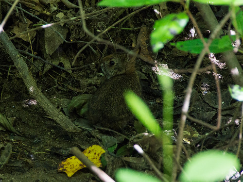
I soon found myself near the reservoir again. As I walked by in one part of the trail, I heard something dash away. I found I had accidentally scared a rabbit!
Further down the path I came to a short spur trail leading to the waterfall.
There wasn't enough water flow to make the waterfall photogenic, but I did get one decent photo:
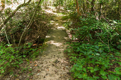
Back on the waterfall loop trail, I crossed over a foot bridge:
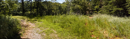
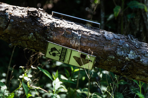
A few minutes later I found myself at the intersection of the Palmetto Trail:
On the way back to the parking area, I spotted a sign on a fallen tree I missed the first time through:
On the way back, I noticed the Blue Wall Preserve sign that was backlit on the more weed free side on way in, is now somewhat frontlit.
Near the parking area on the way back, I was greeted by two hostile, unleashed dogs. Their owners were at least considerate enough to restrain them so I could pass by, but it left me wondering why they weren't leashed to begin with. Sigh. I have also encountered the similar issues with unleashed and unruly dogs at Yellow Branch Falls earlier this year but I didn't write anything about it.
I'd like to possibly come back sometime this fall or winter and hike the Blue Wall Passage up to Vaughn's Gap to see the views, or at the very least get some exercise(!). I've also seen photos of
a rusting, portable saw mill I'd very much like to visit in person.
The Palmetto Conservation's
page about the Blue Wall Passage of the Palmetto Trail has a handy trail maps in PDF format for your viewing or printing pleasure.
For the most part, I had an enjoyable visit.
I've shared my trip photos to
an album on Flickr, or you're welcome to go through them below:


Comments
Post a Comment