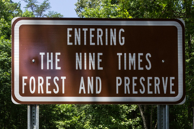
The weather around here has turned hot and humid (it is June after all!), but that didn't keep me from exploring two protected properties each on one side of East Preston McDaniel Road (near S.C. 11) in northern Pickens County: Nine Times Preserve and Nine Times Forest.
Nine Times Preserve
Nine Times Preserve is a 560 acre nature preserve, located on the south side of East Preston McDaniel Road, owned and operated by
The Nature Conservancy.
Upstate Forever bought property in 2007 from a logging company, then The Nature Conservancy bought the property from Upstate Forever in 2009. During the winter of 2012, The Nature Conservancy built
three trails: Cedar Rock Trail, Rocky Bald Loop Trail, and Trillium Trail.
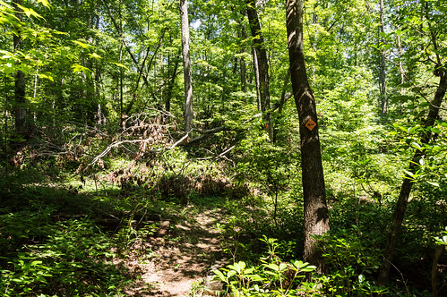
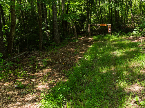
I chose to hike the Rocky Bald Loop Trail in part to see the small waterfall along the trail. I parked at the Rocky Bald Parking Area, located
at approximately 34.90503, -82.80891 or about half way
between Eastatoe Creek Road and Nine Times Road.
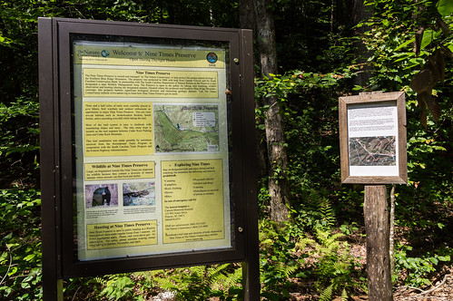
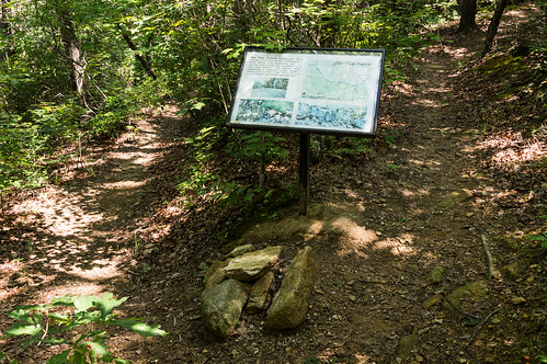
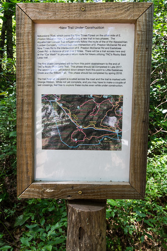
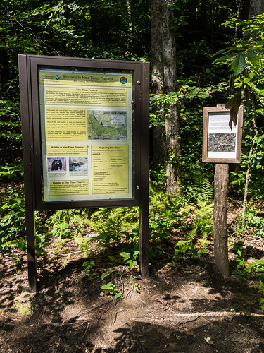
I read over the informative signs at the trailhead that summarize the history of the park, the trails, and the rules and regulations:
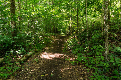
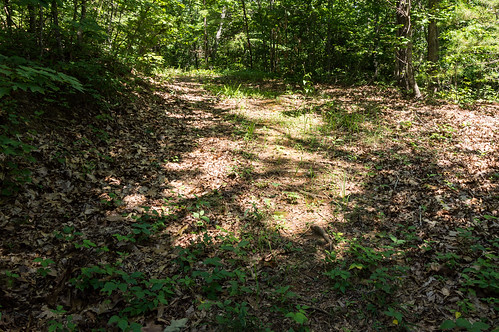
The trail started off relatively flat (for this area) and easy:
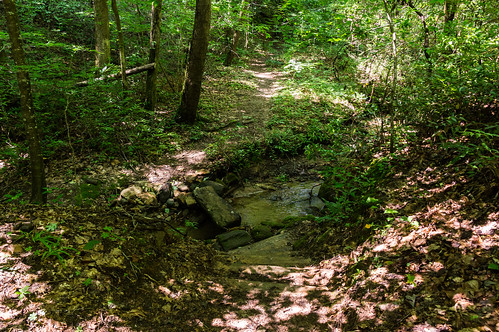
After a few stream crossings I made it the start of several switchbacks:
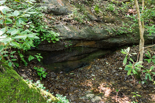
The trail continued a gradual rise until I made it to this low flow waterfall.
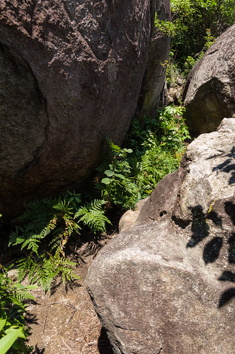
I turned on to Cedar Rock Trail where the headwaters of this waterfall were located just off the trail.
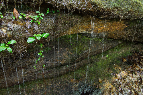
I found the headwater seeping of out an area along the slope, but it wasn't anything special. I returned to Rocky Knob Loop Trail.
After a sharp turn...
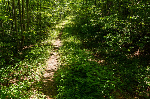
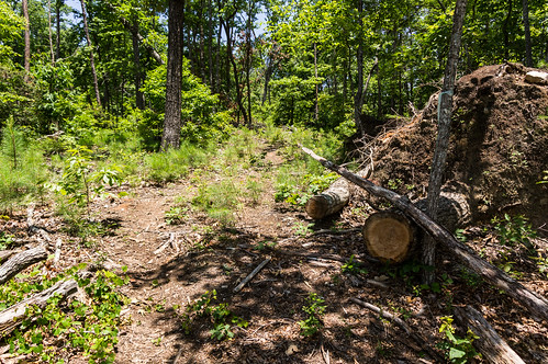
...the trail joined up with a much wider old logging road.
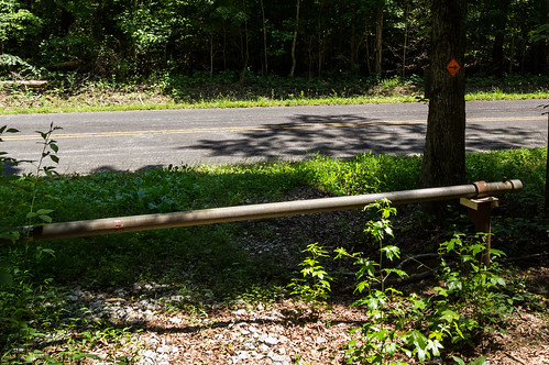
The logging road ends at East Preston McDaniel Road while the trail takes a hard right.
I walked along the road back to the parking area.
This hike served as a nice warmup for the much more strenuous hike I had planned next across the road in Nine Times Forest.
Nine Times Forest
Nine Times Forest is a 1648 acre protected forest area on the north side of East Preston McDaniel Road.
Naturaland Trust optioned the land in 2012,
purchasing the property outright in 2014. The property features three mountains with prominent granite outcroppings: Pink Mountain, Odle Mountain, and Big Rock Mountain. My mission on this trip was to ascend to the summit of Big Rock Mountain, then on to see an interesting rock formation named The Sphinx or Sphinx Rock.
Cedar Rock Parking Area, at the
intersection of East Preston McDaniel Road and Nine Times Road or
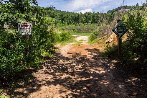
at approximately 34.98475, -82.79255, served as good starting point for this part of the hike. I walked across the road down an old logging road. Off to the left of the logging road, I saw the trailhead for a new trail named the Appalachian Lumber Trail. This trail closely follows an abandoned logging railroad roadbed.
I saw a notice in the Cedar Rock Parking Area about this new trail.
I didn't have time to explore it during this hike, but this one is on my to-do list.
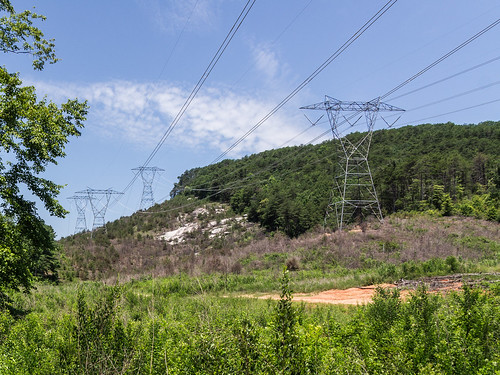
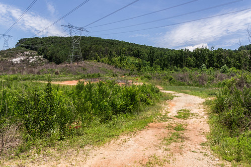
The logging road soon entered a more open area with electric transmission lines running overhead.
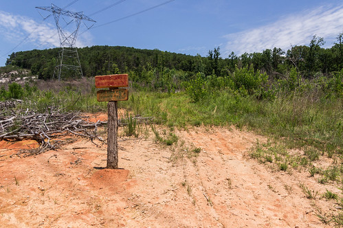
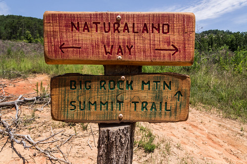
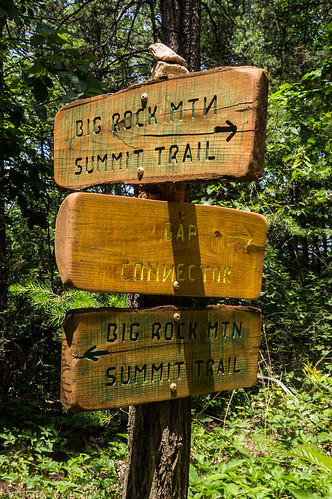
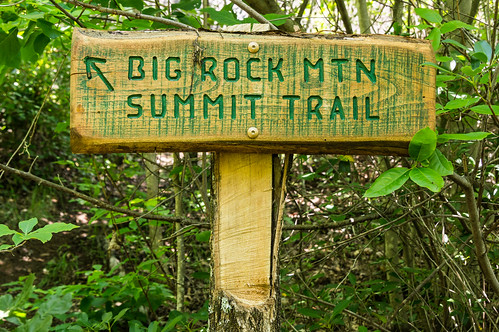
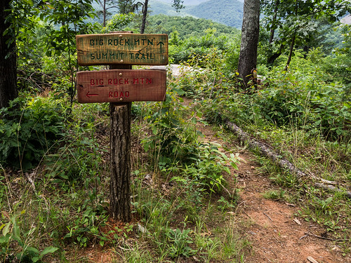
I kept following the road until I found a sign for the trail to the summit of Big Rock Mountain, aptly named Big Rock Mountain Summit Trail.
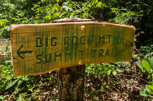
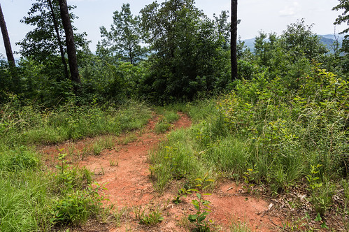
I followed the sign...
...down the obvious path.
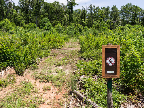
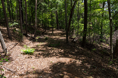
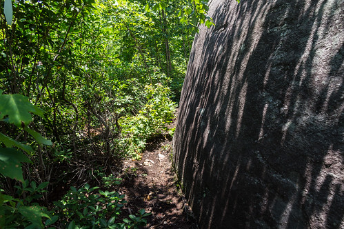
The open area soon turned into a forested area.
The gradual climb up the mountain became quite strenuous after entering the denser forest. The trail also has no switchbacks, so I had to stop often to rest once I got close to reaching the ridge line. At the ridge line, the trail makes a hard right on to an old logging road.
The trail follows the old roadbed along the ridge line until it reaches this sign:
I continued following the signs along the still easy to follow trail.
Just beyond this is where the trail enters the rock field for the final ascent to the summit.
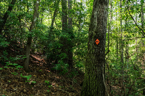
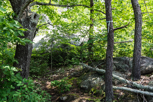
While flagged trees did help mark the trail...
at other times I had to resort to using ground clues to find the way. Along the way I found several rocky ledges that would have offered better views if leaves weren't on the trees.
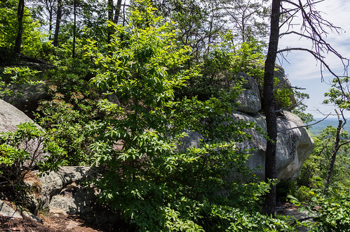
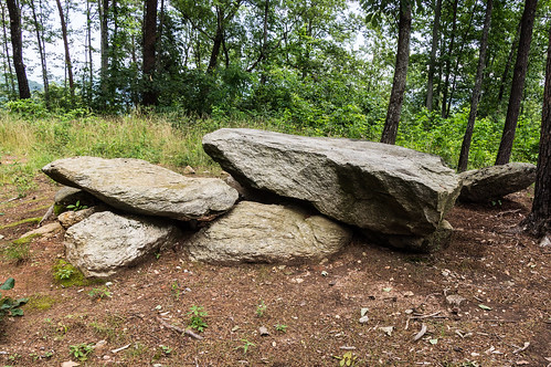
The summit doesn't really offer any scenic views, but I found the large rock formations interesting:
This rock formation would almost make a good picnic table:
I took the most direct route to the summit, but another route the winds around the other side the mountain by following an old logging road pointed to by this sign:
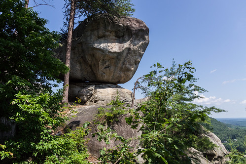
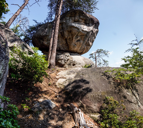
I made my way back down from the summit to where the light blue-green flagged Big Rock Mountian Summit Trail and an orange flagged trail split. I made it down the trail to the other side of the rocky ledge where I believed an interesting rock formation named Sphinx Rock or The Sphinx was located.
I missed the start of the unmarked trail during my first pass through, so I had to backtrack and look closer. I finally found the start of the trail here at this narrow split off the orange flagged trail:
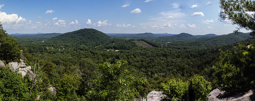
The rest of the trail was easy for me to follow. The view from Sphinx Rock was rather nice, so I took some photos I stitched together to form this panorama:
Sphinx Rock is as interesting as advertised, but to me the rock strongly resembles a certain movie character from a certain Steven Spielberg movie. E.T. phone home?
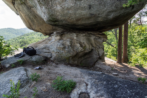
Underneath the rock and in the shade, I took a nice long break from the sun. My cotton shirt was soaked.
I noticed some holes have been drilled in the rock which I assume had something to do with the rock climbing activities allowed here.
I decided it was time to go when I could hear the rumble of thunder off in the distance and see thunderheads forming. I was sorry to leave the shade of my rocky friend behind.
Returning back to the car is so much easier when it's mostly downhill! I had considered walking the Appalachian Lumber Trail I saw coming in, but I had run out of water and it was getting late anyway.
Wrapup
The aftermath of those thunderstorms I had seen building made things interesting on the way home. At least two major roads in the Berea area of Greenville were partially flooded, forcing me to detour north toward Travelers Rest then around Greenville.
Big Rock Mountain is certainly aptly named. The trail up to Sphinx Rock turned out to be more of a challenge to find than I expected. I've uploaded the hiking part of my GPS track to uMap so others can download the track and use it a guide.
All my photos from this trip are
in an Flickr album or you can go through them below:


Comments
Post a Comment