I had planned to hike on the Blue Ridge Parkway in North Carolina last Wednesday, but Hurricane Irma left the parkway strewn with downed limbs and trees forcing the parkway's closure. I then settled on a to visit Jones Gap State Park on Thursday, but Jones Gap was also closed that day because of the aftermath of Irma. I searched the map for a location near Jones Gap that would still likely be open and I settled on
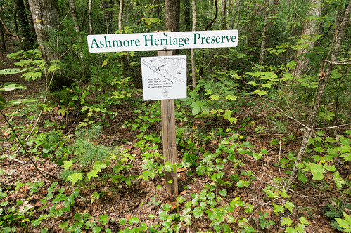
Ashmore Heritage Preserve.
Ashmore Heritage Preserve is a 1125 acre preserve
off Persimmon Ridge Road in northern Greenville County. The original land for the preserve, a few hundred acres, was acquired from property once owned by Russell Ashmore, Sr. in the mid to late 1980s. Additional acquisitions since then have increased the size of the preserve
to its 2017 borders:
The main feature of interest for me here is the loop trail around Lake Wattacoo and the view of Ashmore Falls from the dam.
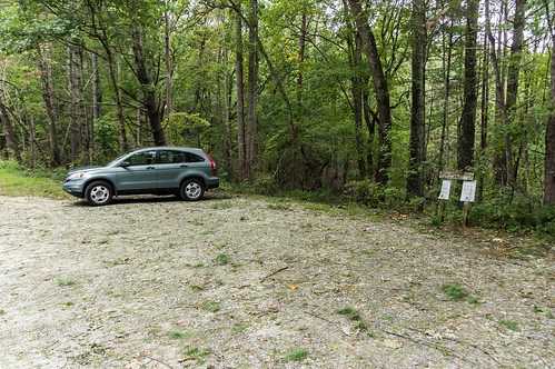
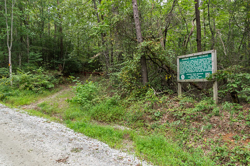
Persimmon Ridge Road, when coming from the southern end off US 276, starts as pavement but soon turns to gravel. The parking area is large enough to accommodate several vehicles. One other car was already parked there.
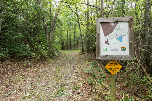
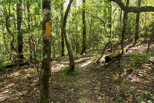
The trailhead for the connector trail is a short distance to the north up the road.
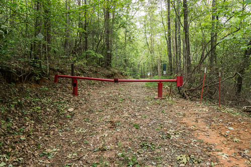
The connector trail heads down an old forest road that ends at the intersection with Mountain Bridge Passage Trail, a relatively new trail
that opened in 2007. Before I reached the intersection though, I passed by a gate, ...
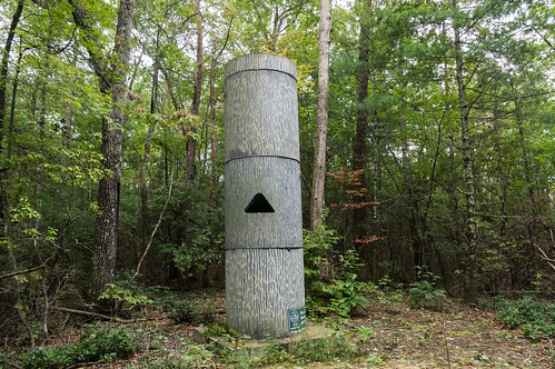
a handy trail map,
a bat roost,
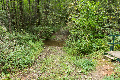
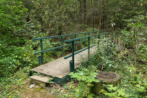
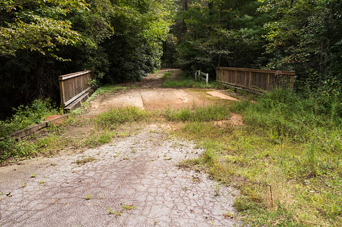
and a crossing over West Fork Wattacoo Creek.
Since
my last visit in December 2011, a bridge is now available to cross the creek. For a creek with such a low flow I have to wonder why though.
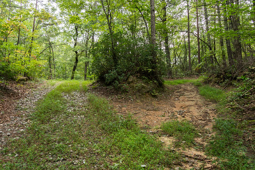
A short distance north, the loop trail to Lake Wattacoo heads right. Then the loop trail splits. I chose the right fork to visit the dam.
As I approached the earthen dam, a light rain shower began.
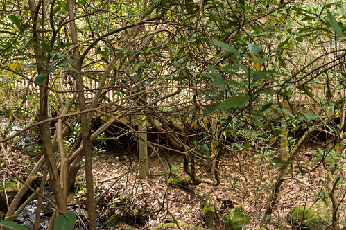
While passing over the dam, Ashmore Falls came into view.
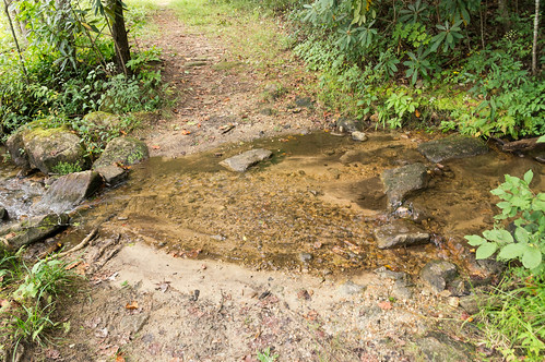
I crossed over Wattacoo Creek...
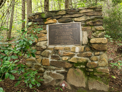
and started up an obvious trail up the mountainside to a memorial to Russell Ashmore.
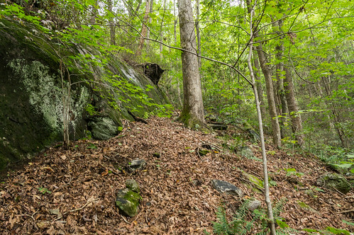
I bushwacked my up the mountainside, then along a small cliff toward the lower portion of the waterfall
I ended up too high to get a good view of the waterfall.
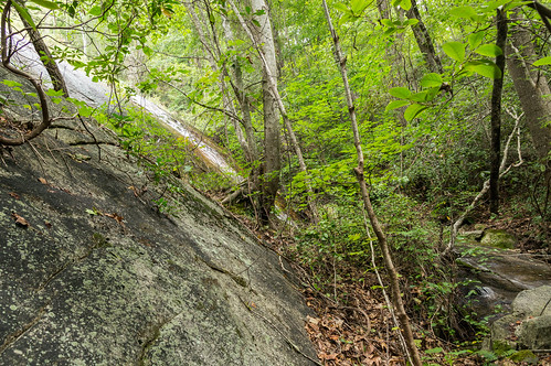
I started bushwacking back down, but stayed close to the creek this time. However, I could see from the rhododendrons and other vegetation I wouldn't be getting a better view in any case. Perhaps a winter trip would help with the view.
I made it back down to the loop trail. My plan was to complete the loop and then head back. I changed my mind when I remembered the abandoned Camp Spearhead was a short distance away. I checked my time, and decided to go for it. I turned around and headed down an old forest road heading in that general direction.
The forest road ends at the intersection with the Mountain Bridge Passage Trail. I turned left to head for Camp Spearhead.
A sign marks the border between Ashmore Heritage Preserve and the old Camp Spearhead property.
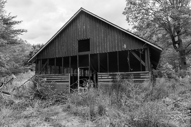
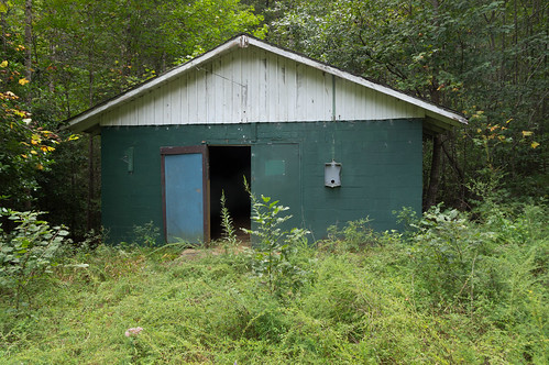
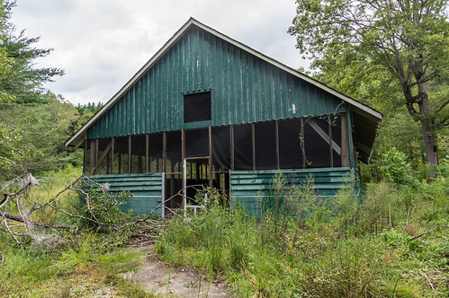
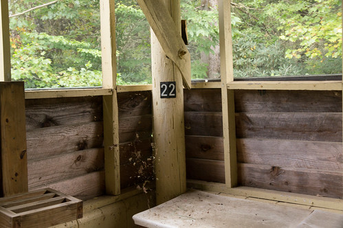
The trail passes by and ends at a green building inside the old Camp Spearhead. I had to check it out.
The old Camp Spearhead property has been a camp since the 1930s. I pieced together the property's history from property records and
A Short History of the Civitan Club of Greenville, South Carolina.The Civilian Conservation Corps were the first to build a camp here (perhaps these were the people responsible for making Wildcat Wayside?).
Camp Wattacoo took over the camp in 1937, hosting a variety of groups.from Furman University students in 1937...
to Baptist students in April 1938:
a group of Methodist children in August 1938:
In 1943, the camp property was sold to a corporation controlled by the Salvation Army. The Civitans took an interest in the camp began paying the cost of the camp for a number of campers. In 1955, the Civitans acquired a 40 year lease and renamed the camp Civitan Fresh Air Camp. In 1970, the Civitans bought the camp outright. The Civitan Citizenship Center began operating at the camp in 1977.
Camp Spearhead, a program for special needs children that began in 1968, moved here in 1991 from its first home in Paris Mountain State Park.
Naturaland Trust bought the property in 2006. Camp Spearhead remained on the property until 2010 when its new, updated facilities were ready at
Pleasant Ridge County Park.
Old dilapidated buildings on the property were demolished a few years ago, and
plans are in development for an outdoor adventure center currently named Blue Wall Center.
This is a Google Earth image of the camp in 2012 showing the ld buildings:
A much more recent image shows most of the buildings are now gone:
From the trailhead of Mountain Bridge Passage Trail, I chose to walk down Camp Civitan Road toward US 276.
I explored a few side roads along the way, then walked back toward the center of the camp.
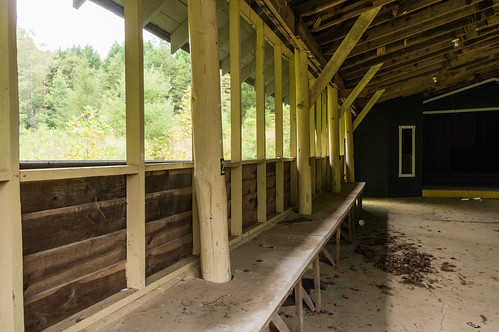
I wandered around, eventually ending up at the other remaining building:
Of course I had to go inside and look around.
I explored some of the side trails before heading up the road toward Holiday Lake. On the way, I noticed this curious water pipe heading back to the camp.
I could also hear the sound of rushing water. I wondered if a waterfall may be nearby. This deck on the other side of a creek only made the possibility seem likely.
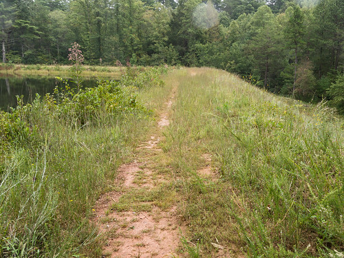
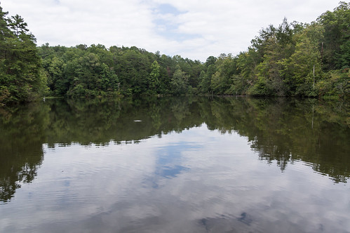
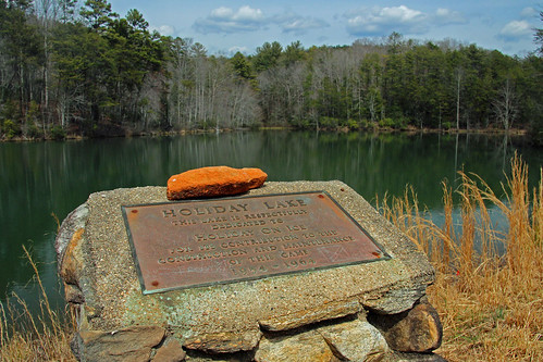
At the top of the hill, Holiday Lake, completed in 1963, came into view.
I apparently disturbed this little critter, who took refuge in some electrical conduit.
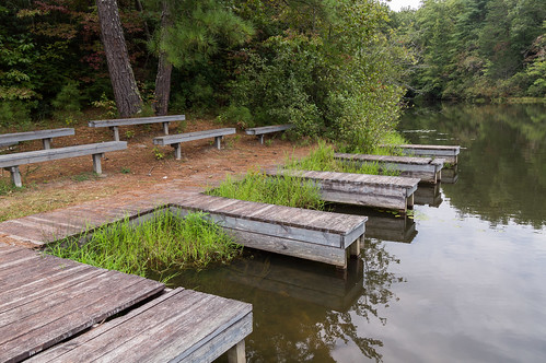
If it were a warmer or sunnier day, I would have been tempted to venture into the water.
The facilities still standing appear to be in decent shape.
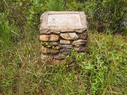
I found what appeared to a marker of some kind. Obviously something was missing.
From
a blog post on
The Adventures of SC Jack and also
his Flickr album, I found out the missing piece was a dedication:
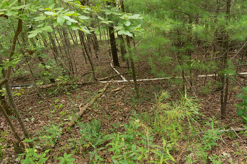
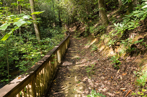
I headed back down to the camp, then along a followed an overgrown road in the general direction of where I saw the deck The road intersected with a foot path that stuck close to the creek.
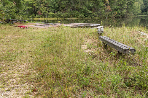
Near the viewing platform, I found some benches. I wonder if they were used for classes?
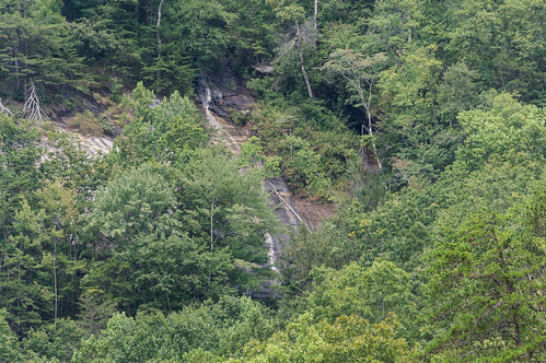
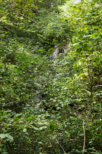
The view of the waterfall was mostly obscured by rhododendrons and other vegetation:
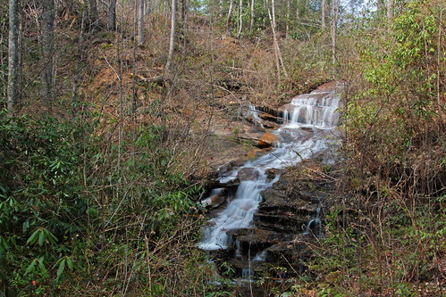
Looks like winter would be a much better time to view this waterfall. I believe SC Jack's photo of the same waterfall is
this one:
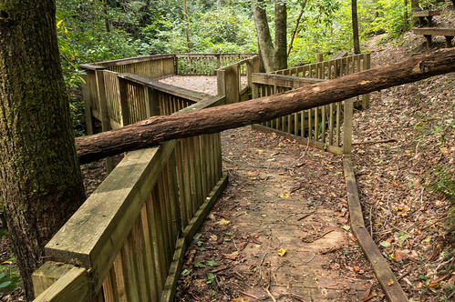
The trail continues up and away from the creek.
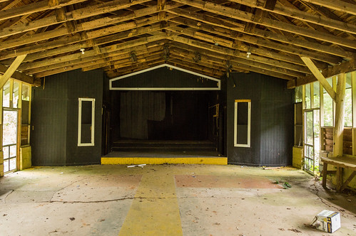
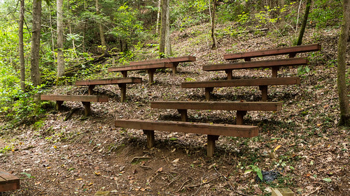
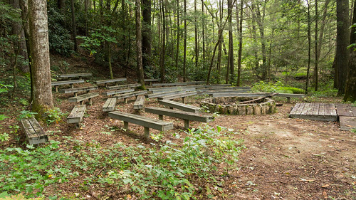
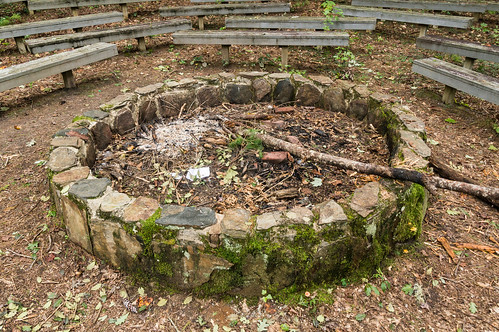
I wanted to follow it to see where it came out (by the lake probably), but I was getting late in the afternoon. Instead I headed back to the camp. The path back to the camp took me over several foot bridges over Wattacoo Creek and one more interesting feature along the way. This amphitheater complete with benches and a fire pit:
I made my back through the camp to Mountain Bridge Passage Trail back to the parking area. I elected to head straight up the short distance up the hill to the parking area instead of walking down a few hundred more feet to the connector trail.
As I made it back into the parking area, I noticed the other car was gone. I never did see anybody else on the trail this day.
The weather cooperated nicely, and the hike wasn't strenuous except for parts of the bushwack to Ashmore Falls.
My
photo album from this trip is on Flickr. You can also skim through them below:


Comments
Post a Comment