With September comes meteorological fall and cooler weather, and the area experienced just that for a few days around last Sunday. My original plan last Sunday was to spend time with my ailing 14 yr old cat, Princess, but she didn't even make it past Monday. I changed my Sunday plan to a day trip and, after consulting my ever growing to-visit list, I settled on a paddling tour of Lake Summit in Tuxedo, North Carolina.
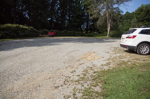
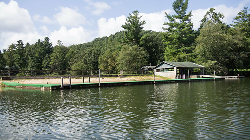
I arrived there early, at least by my standards. The place wasn't very busy when I arrived.
Permits are required to access Lake Summit for powered boats and personal watercraft like jet skis, but no permit is required for kayaks. Works out fine for me! However, to get a permit you must live in the Green River Fire District. The
website of the homeowner's association has those details.
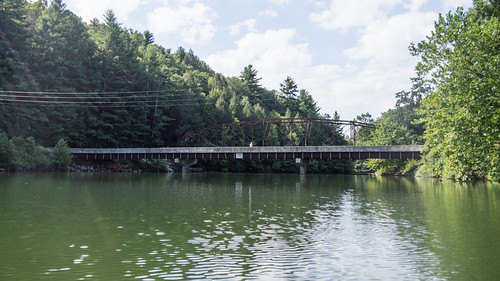
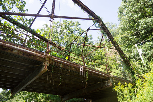
The gate for the boat ramp was closed at the time, forcing me to walk through the pedestrian access with my inflatable kayak. I launched and headed for my first planned target, an abandoned truss bridge over a narrow arm of Lake Summit.
I headed past Camp Mondamin...
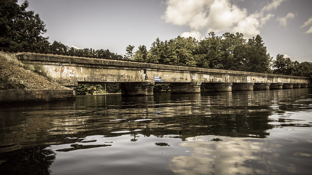
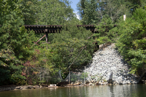
...toward the abandoned truss bridge adjacent to its concrete replacement on South Lake Summit Road.
The abandoned truss bridge was built in 1921, about when the present hydroelectric dam was being built. The Library of Congress houses
a gallery of photos of the bridge taken during its early days. This one shows the bridge before houses took over the lake shore...
...like this one:
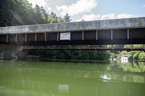
Plans were announced in 1983 to build a new concrete bridge, replacing the truss bridge with funds from a bridge improvement program. The old bridge was
one of several chosen in 1985 to remain after replacement as long as practical for its historical value in bridge design.
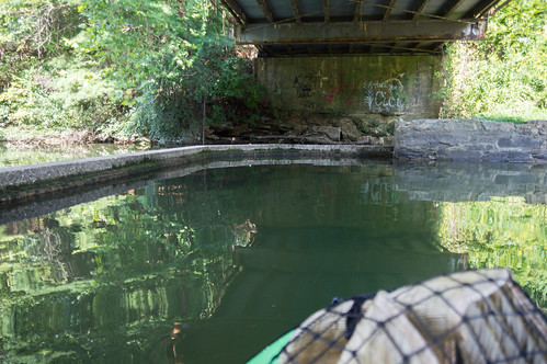
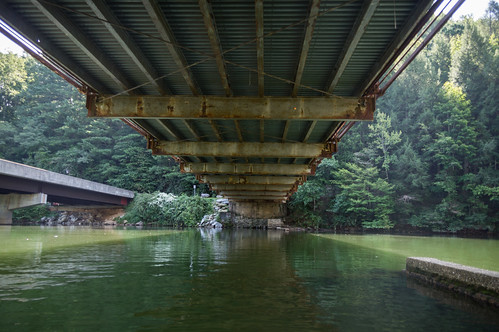
I wandered around under the bridge taking photos for a while.
I wonder what the concrete under the bridge was used for since it clearly wasn't for use by the truss bridge. I got my answer from
this 1985 article from The Times-News:
The bridge actually marks the spot of the first dam on the Green River that furnished power to J.O. Bell's Green River Mill in Tuxedo.
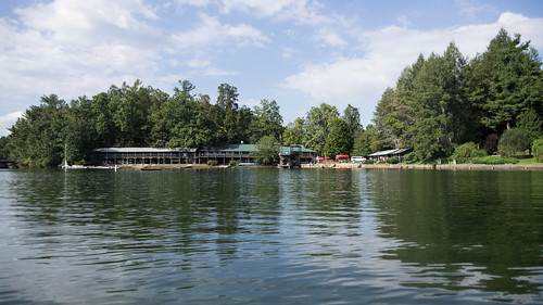
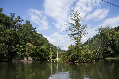
Eventually I moved on upstream away from the lake houses toward the arm of the lake where Camp Green Cove and Camp Mondamin are situated.
Camp Green Cove was
founded by Frank Bell, Sr. in 1945 in Brevard, but relocated here to its present location in 1949.
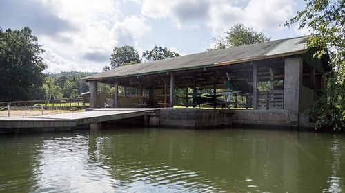
Now that camp season is over and school has started again, the place was quiet. A few weeks earlier I'm sure this place would have been busy. Today all I saw were a few folks fishing.
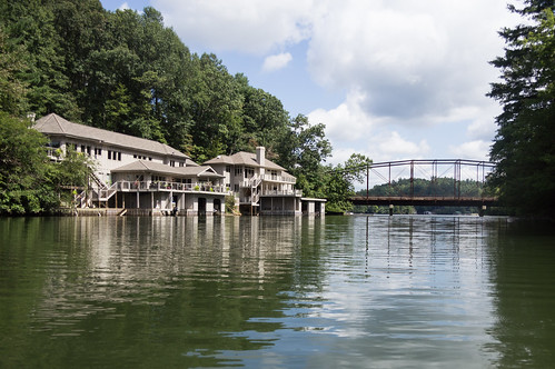
I headed further upstream to
Camp Mondamin.
Camp Mondamin is a camp for boys founded in 1922 by Frank Bell Sr., the same one would later found Camp Green Cove.
The first thing I spotted was this slide. It sure does like a lot of fun!
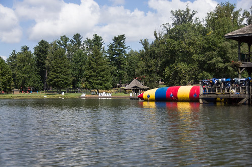
Unlike Camp Green Cove, Camp Mondamin wasn't deserted. I could hear music playing, and a crowd was gathered, and someone was talking over a loudspeaker. By the time I got close enough to take pictures though, they had broken up for lunch.
I had no idea at the time of course, but this was likely their
Alumni Camp for those who attended either Camp Mondamin or Camp Green Cove.
I made a wide circle to begin heading downstream, but not before taking a few more photos.
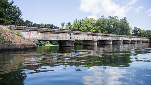
My next target was at the east end of the lake, a railroad trestle for the Norfolk Southern "W" line that runs from Asheville, NC to Spartanburg, SC to Columbia, SC. The part of the "W" line from Landrum, SC to Asheville, including the
Saluda Grade, has been inactive since 2001. Part of the "W" line from Asheville, NC to Hendersonville, NC was sold to a shortline operator, leaving this part of the line from Hendersonville to Landrum to slowly rot.
Once I finally made it to the east end of the lake, I found this small trestle.
A short distance away was the longer, more interesting trestle I had come to see.
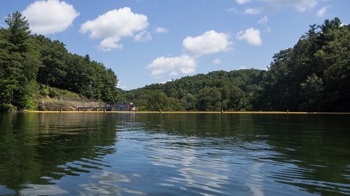
I passed underneath the bridge to the present location of the hydroelectric dam, or at least as close as I could get with endangering myself.
The hydroelectric dam was
built in 1920-21 to supply electricity to the Green River Manufacturing Company for their mill in Tuxedo. The plant and the lake were sold to Duke Power Co. in 1927, and its successor, Duke Energy, still currently owns the plant.
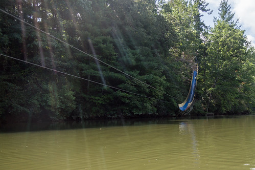
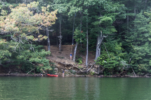
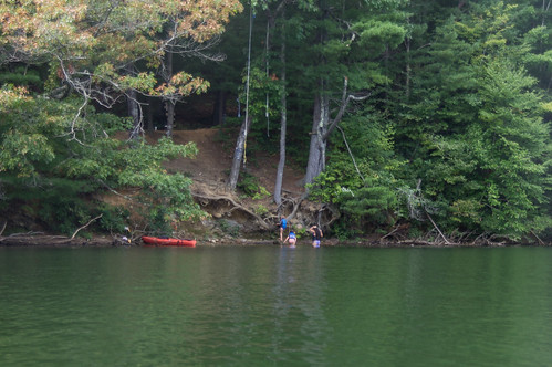
A short distance away, some girls were having fun with a rope swing.
The girl holding the rope needed some convincing to take the plunge, but she eventually came around.
I began paddling back to the boat ramp, but I found the going rather slow. My arms had become rather fatigued by now, and the wake from the numerous boaters also slowed me down. I rested a few times along the way, and I used that down time to snack on the granola I brought along.
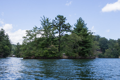
I circled once around Rabbit Island, where two people were hanging out chatting, before heading back to the boat ramp.
When I made it back to the boat ramp area, some folks were busy launching their boats, so I had to wait a few minutes before I could head back in.
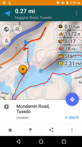
I recorded my track on a phone I use just as a GPS tracker and media player.
I imported that track into Google MyMaps to produce this map, after adding points for the parking areas and the boat ramp.
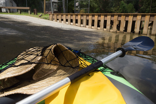
It took a few minutes to deflate my kayak and put everything into my car. Somewhere between the lake and home I lost my camera's backup battery. I had put it in a dry bag along with some other things. Perhaps thieves pinched the battery, but left everything else? Clever bastards.
I had a great time exploring the lake. My Intex K1 was rather slow at times, mainly when traveling upstream in the part of the lake with boat traffic. I used an app that announced the speed every few seconds so I wouldn't have to look at the phone. In the calm parts of the lake I could average about 2.5 to 3 mph either upstream or downstream, but could only manage a moving average of about 2 mph while coming back from the trestle.
I still want to visit some waterfalls on Lake Jocassee, possibly next month, possibly with a better kayak, but definitely with a better paddle.
I've uploaded my all photos to
an album on Flickr and
an album on Google Photos.


Comments
Post a Comment