Eva Russel Chandler Heritage Preserve and Beyond
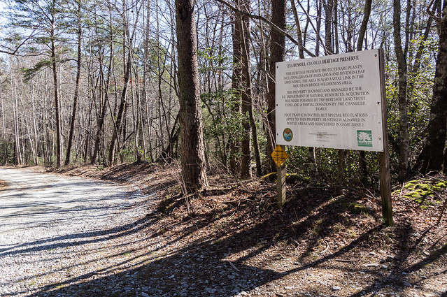
The Eva Russel Chandler Heritage Preserve is a heritage preserve located off Persimmon Ridge Road near Cleveland, SC. The heritage preserve is home to certain rare plants, the ruins of a homestead, and a waterfall, but what really brings me here this visit is the prospect of continuing my search for the ruins of moonshine stills.
Slickum Creek, also called Persimmon Branch, flows through the preserve down through Wildcat Wayside Park, then into the South Saluda River. I had already searched Slickum Creek up to one waterfall short of Heritage Falls, and now I'm back to explore further upstream.
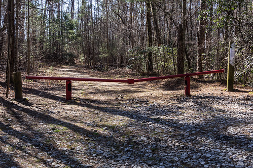
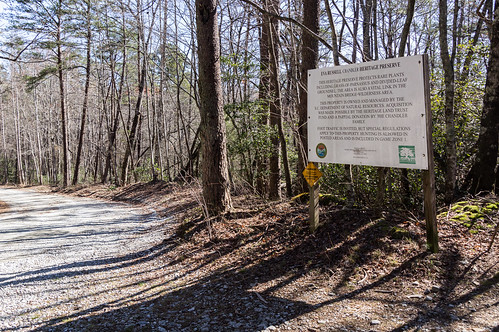
I parked out of the way of the red gate:
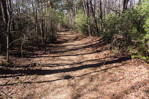
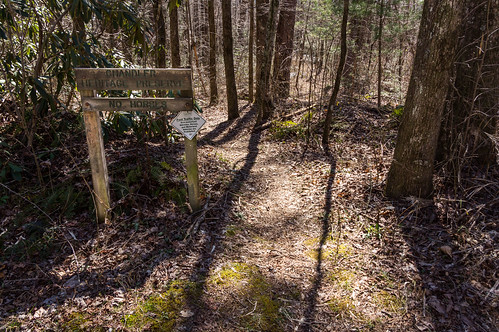
then walked around the gate down the trail part of which was once an old dirt road.
I started at the same waterfall where I left off last time.
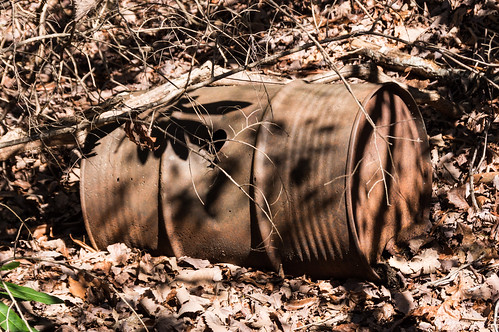
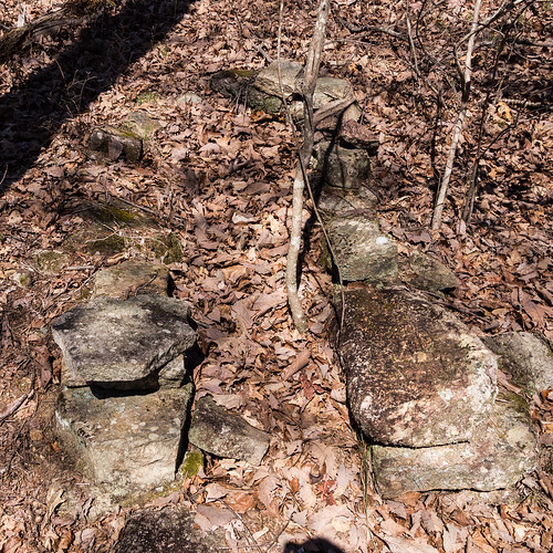
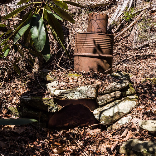
I bushwacked my way up to the base of Heritage Falls where I already knew some ruins were located. I actually found more ruins than I expected. I found this barrel and a still furnace I already knew were here:
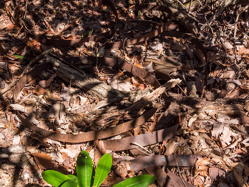
What surprised me though were how many metal bands I found, but finding a good angle to capture them so they'd show up in my photos was hard:
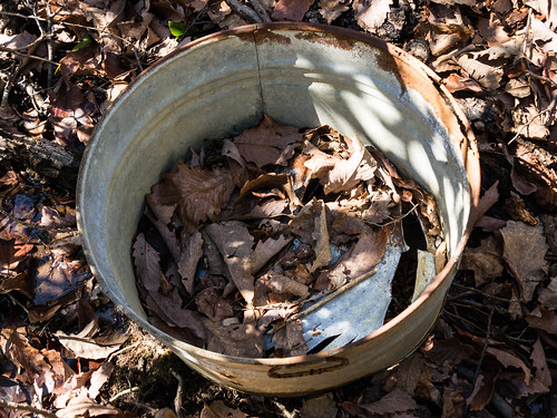
I was also surprised to find an old galvanized bucket I hadn't heard about:
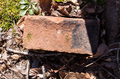
I also found a lonely brick in the same area:
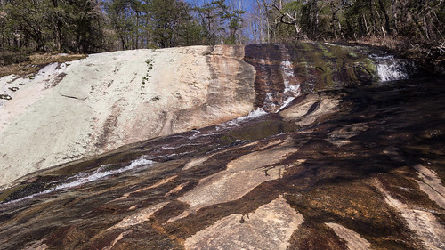
After satisfying myself I had found every moonshine-related ruins I could find, I made an effort to take photos of Heritage Falls. The waterfall is large, yet unphotogenic with all the vegatation at the base. At the base, the water splits into three even more unphotogenic streams before coming back together again. Going up off the right side (in the woods, not on the slippery rock) of the waterfall then carefully easing out on to a flat part of the bare rock face produced a decent photo.
I continued up the right side, but I had to move away from the waterfall to maneuver around a cliff. I spotted a feature I've seen before on a satellite view I thought may have been an old logging road. It was definitely an overgrown path of some kind.
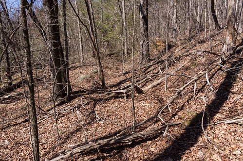
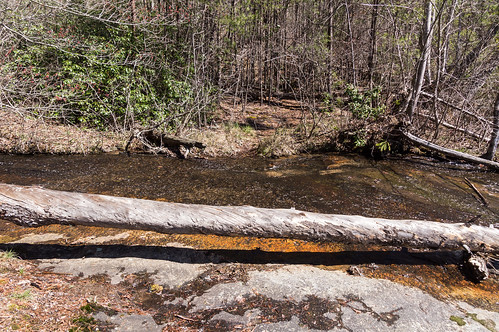
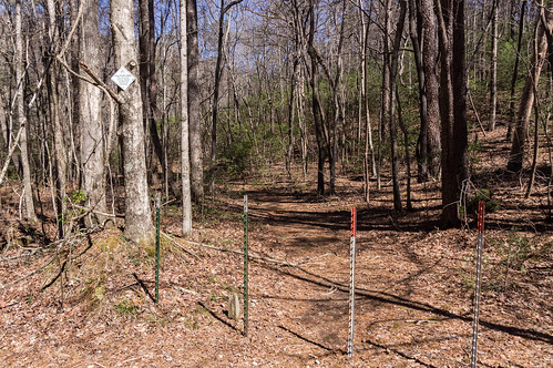
I followed this old path away from the creek for a while, before turning back and followed the old path (except to detour around a thicket) back to the creek. I crossed over the creek where I met up with a heritage preserve trail. I looked back at the old path:
I followed the heritage presrve trail back toward Persimmon Ridge Road. I didn't see any ruins by the creek along the way, but I also didn't expect to find any either.
I followed Persimmon Ridge Road toward where Slickum Creek flows underneath the road through a culvert. On the other side of the road near this spot, I walked down a foot path that stays close to an unnamed creek feeding into Slickum Creek.
This foot path starts in the preserve, but soon enters land owned by Naturatrust and is open to hiking. The foot path leads to a dirt road over a earthen dam.
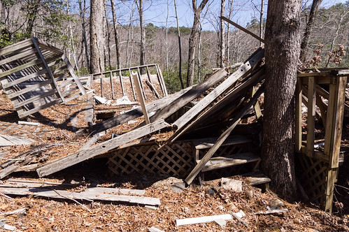
I turned left on to this dirt road where I ended up at the ruins of a small house.
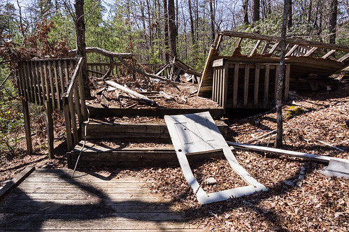
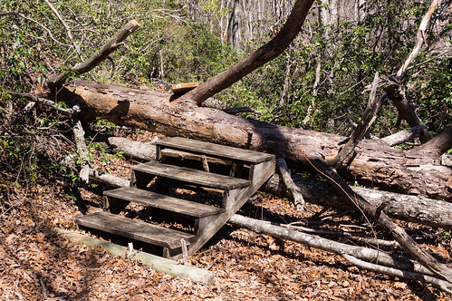
I explored other connected dirt roads, and I also headed down a another foot path that led toward the other end of the lake. A fallen tree blocked the way, but someone thought of reusing some stairs to make the going a bit easier.
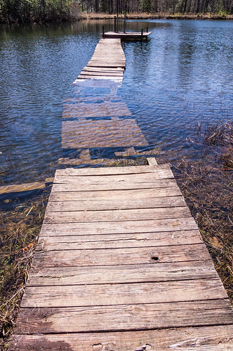
The foot path leads down to a dock, but a clogged drain pipe has caused the water to rise up and over the path.
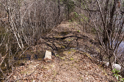
I wasn't about to attempt this tricky walk on this cold day:
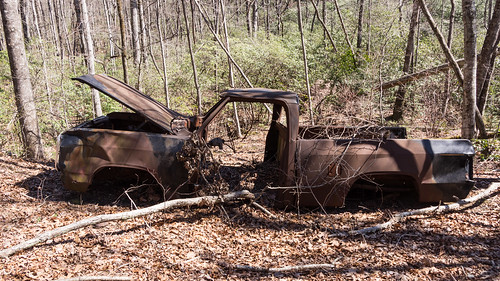
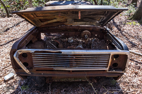
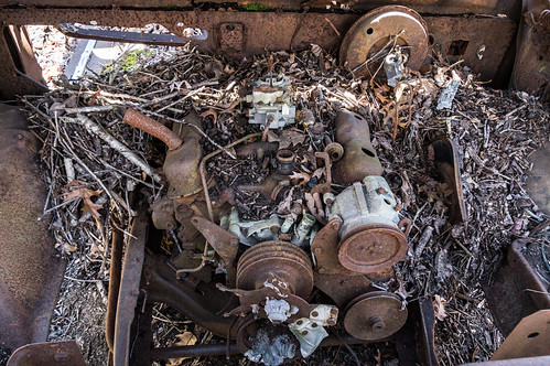
I explored the dirt road over the dam in the other direction where I found nothing but more dirt roads. I headed back down foot path to the dock to explore one of the creeks feeding the lake for still ruins. I was searching along the creek when I came across something rather interesting, this stripped, rusting pickup truck:
I photographed this curiosity from several angles:
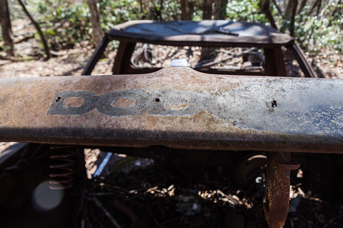
I wondered what make of pickup truck this was. Fortunately, the answer was right in front of me:
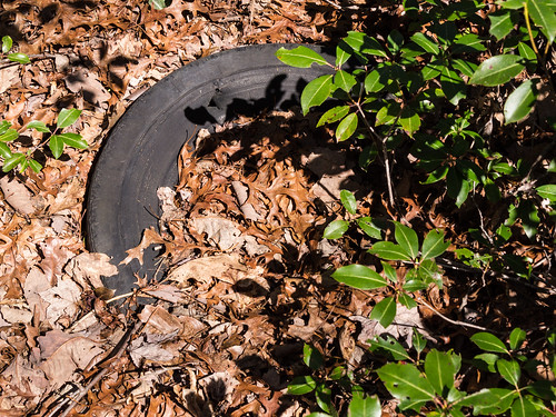
Alrighty then. This was a Dodge pickup truck of some vintage. I also found a tire a short distance away that I would assume once belonged to the truck:
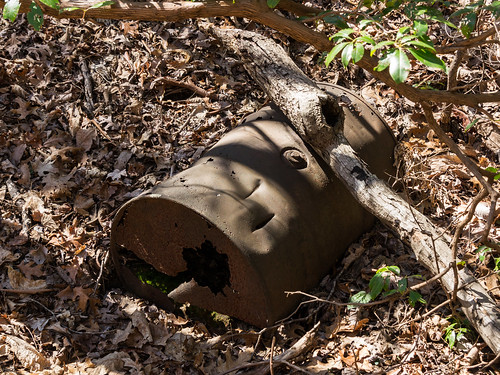
I resumed my search for ruins. I had no success until I found a bit of a area where the creek bank was rather flat (which raised my suspicions) and then I found what I was looking for:
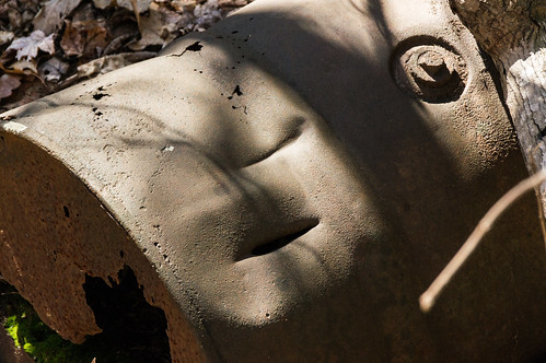
What interested me most about this moonshine barrel were the axe marks.
When law enforcement discovered a moonshine still operation, they would render the equipment unusable. For a still like this one, this often meant it got to meet the business end of an axe.
My terrain map and ground truth indicated the terrain ahead would steepen. I decided my chances of finding more were slim on this creek, so I turned around and headed back. I haven't seen the heritage preserve's chimney ruins in a seven years, and it was only a few minutes of the way, so I headed down that trail to get another look.
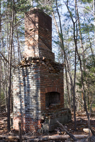
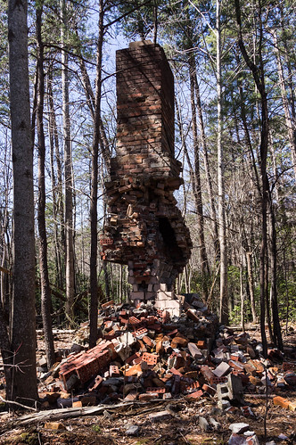
The chimney looks like it's almost ready to collapse. The last seven years since I've been here have not been kind to this poor chimney. Here are my photos taken in 2011:
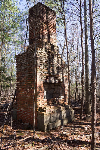
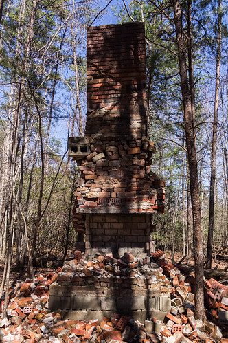
Now mine from 2018 taken this week:
Next time I come here, this chimney may just be a pile of rubble. This is exactly why I like to take photos of old structures like this. All too soon they will be gone and all that will be left are photographs.
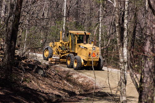
After that downer, I made my way back to the parking area where a road maintenance vehicle had just rather loudly passed by.
The dirt road portion of Persimmon Ridge Road is in fine shape. I had no trouble getting here in my front wheel drive car. I also don't remember any trouble getting here back in 2011 either with a different car.
Like I usually do, I've uploaded my trip photos to an album on Flickr, or you can also go through them below:
Slickum Creek, also called Persimmon Branch, flows through the preserve down through Wildcat Wayside Park, then into the South Saluda River. I had already searched Slickum Creek up to one waterfall short of Heritage Falls, and now I'm back to explore further upstream.
I parked out of the way of the red gate:
then walked around the gate down the trail part of which was once an old dirt road.
I started at the same waterfall where I left off last time.
I bushwacked my way up to the base of Heritage Falls where I already knew some ruins were located. I actually found more ruins than I expected. I found this barrel and a still furnace I already knew were here:
What surprised me though were how many metal bands I found, but finding a good angle to capture them so they'd show up in my photos was hard:
I was also surprised to find an old galvanized bucket I hadn't heard about:
I also found a lonely brick in the same area:
After satisfying myself I had found every moonshine-related ruins I could find, I made an effort to take photos of Heritage Falls. The waterfall is large, yet unphotogenic with all the vegatation at the base. At the base, the water splits into three even more unphotogenic streams before coming back together again. Going up off the right side (in the woods, not on the slippery rock) of the waterfall then carefully easing out on to a flat part of the bare rock face produced a decent photo.
I continued up the right side, but I had to move away from the waterfall to maneuver around a cliff. I spotted a feature I've seen before on a satellite view I thought may have been an old logging road. It was definitely an overgrown path of some kind.
I followed this old path away from the creek for a while, before turning back and followed the old path (except to detour around a thicket) back to the creek. I crossed over the creek where I met up with a heritage preserve trail. I looked back at the old path:
I followed the heritage presrve trail back toward Persimmon Ridge Road. I didn't see any ruins by the creek along the way, but I also didn't expect to find any either.
I followed Persimmon Ridge Road toward where Slickum Creek flows underneath the road through a culvert. On the other side of the road near this spot, I walked down a foot path that stays close to an unnamed creek feeding into Slickum Creek.
This foot path starts in the preserve, but soon enters land owned by Naturatrust and is open to hiking. The foot path leads to a dirt road over a earthen dam.
I turned left on to this dirt road where I ended up at the ruins of a small house.
I explored other connected dirt roads, and I also headed down a another foot path that led toward the other end of the lake. A fallen tree blocked the way, but someone thought of reusing some stairs to make the going a bit easier.
The foot path leads down to a dock, but a clogged drain pipe has caused the water to rise up and over the path.

I wasn't about to attempt this tricky walk on this cold day:
I explored the dirt road over the dam in the other direction where I found nothing but more dirt roads. I headed back down foot path to the dock to explore one of the creeks feeding the lake for still ruins. I was searching along the creek when I came across something rather interesting, this stripped, rusting pickup truck:
I photographed this curiosity from several angles:
I wondered what make of pickup truck this was. Fortunately, the answer was right in front of me:
Alrighty then. This was a Dodge pickup truck of some vintage. I also found a tire a short distance away that I would assume once belonged to the truck:
I resumed my search for ruins. I had no success until I found a bit of a area where the creek bank was rather flat (which raised my suspicions) and then I found what I was looking for:
What interested me most about this moonshine barrel were the axe marks.
When law enforcement discovered a moonshine still operation, they would render the equipment unusable. For a still like this one, this often meant it got to meet the business end of an axe.
My terrain map and ground truth indicated the terrain ahead would steepen. I decided my chances of finding more were slim on this creek, so I turned around and headed back. I haven't seen the heritage preserve's chimney ruins in a seven years, and it was only a few minutes of the way, so I headed down that trail to get another look.
The chimney looks like it's almost ready to collapse. The last seven years since I've been here have not been kind to this poor chimney. Here are my photos taken in 2011:
Now mine from 2018 taken this week:
Next time I come here, this chimney may just be a pile of rubble. This is exactly why I like to take photos of old structures like this. All too soon they will be gone and all that will be left are photographs.
After that downer, I made my way back to the parking area where a road maintenance vehicle had just rather loudly passed by.
The dirt road portion of Persimmon Ridge Road is in fine shape. I had no trouble getting here in my front wheel drive car. I also don't remember any trouble getting here back in 2011 either with a different car.
Like I usually do, I've uploaded my trip photos to an album on Flickr, or you can also go through them below:



.jpg)

Yes, I've been impressed with the shape of Persimmon Road also in recent years. I do remember a time when we had to turn back with our Ford Taurus because of the washouts - but this must have been off-season, at least 10 years ago - and think about it every time we head to Ashmore or Chandler...
ReplyDeleteWhat do you think about the chimney? Is its hastened death due to human or natural causes?
I'd say vandals accelerated what would have happened anyway.
DeleteI stumbled across you blog after exploring Eva Chandler last weekend. I was searching for info on the history of the property, but found very little except your blog. Thanks for posting this. The chimney is now a pile of rubble sadly. It was standing strong last time I saw it in 2015. I was told there were 3 teenage hoodlums that had been causing havoc in the area, and that they were likely the ones to knock it down.
ReplyDeleteI found another still in a remote corner of Eva Chandler, along the smaller creek that forms the western boundary.