ipt>
It's a rare summer day when the temperatures are mild and the humidity is low, but that was the case Wednesday of this week, just one week past the summer solstice. I've been interested in a trip out to Bear Creek Lake to explore some of the local waterfalls for some time, and the nice weather and my availability coincided at just the right time to make this trip possible.
Bear Creek Lake is the largest (and the second constructed) of four reservoirs known as the
East Fork Lakes in Jackson County, North Carolina located near highway NC 181, the other three are
Cedar Cliff Lake,
Wolf Creek Lake, and
Tanasee Creek Lake. Cedar Cliff Lake is upstream from Bear Creek Lake, and both are along the Tuckasegee River. Wolf Creek Lake and Tanasee Creek Lake both feed creeks that empty into the Tuckasegee River. All four reservoirs were built in the East Fork area of the Tuckasegee River in the early 1950s by
Nantahala Power Company, then a subsidiary of Alcoa, to produce electricity. In the late 1980s, Alcoa sold Nantahala Power Company to Duke Energy.
The two hour plus trip to Bear Creek Lake involved travelling many twisty roads, including
a construction zone along US 64 including where the highway connects with NC 281. The last part of the trip took me down a dirt road to the Bear Creek Lake Access area. The access area was improved in 2013-2014 to add a restroom and a fishing pier, and pave the parking area.
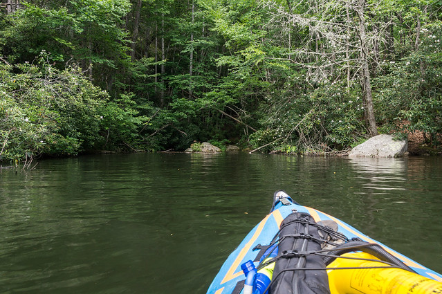
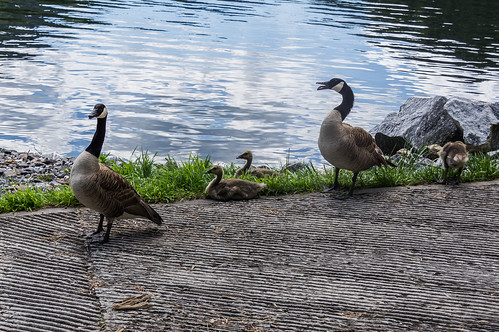
I dropped my inflatable kayak and other gear off at the boat ramp and parked. A pair of geese and their three goslings kept me company, until a pickup truck carrying a sit on top kayak backed in and scared them off.
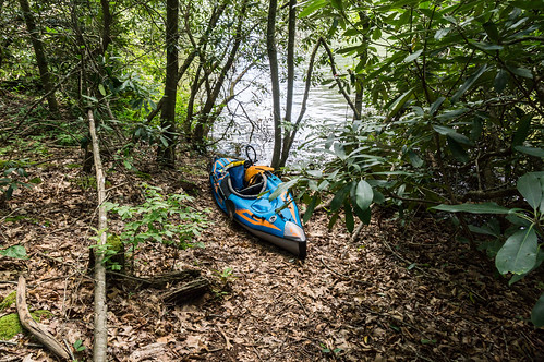
I finished inflating my kayak, installing the seat, and storing my camera, water, snacks, and other gear. I usually install a "backbone" to increase the boat's rigidity and speed, but with such short distances to reach my destinations I didn't bother.
The other fellow paddled out ahead of me while I applied my sunscreen and put on my hat.
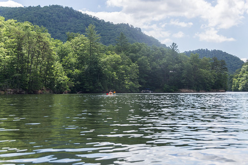
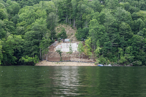
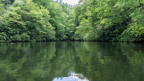
Parts of the lake are developed, especially the south side, ...
...but many other parts are not.
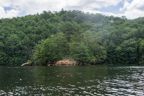
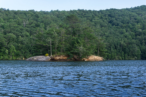
The first landmark I encountered is an island where
people have camped overnight.
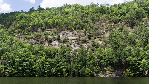
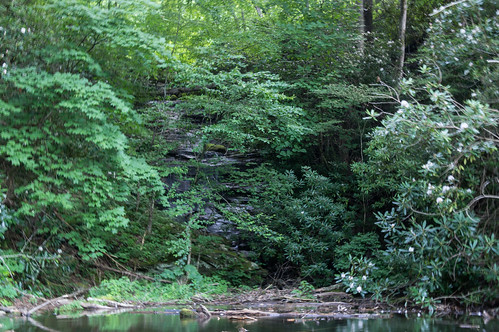
I circled the island and then set course for Sols Creek Falls. My path took me by these impressive rock cliffs:
In only a few minutes I made it into the cove. Two people had beached their kayaks, but I found another place where I could do the same to mine.
While I was resting and snacking on a nut bar, the two people, a man and a woman, came back down the trail from the waterfall and left.
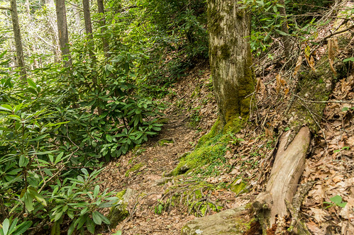
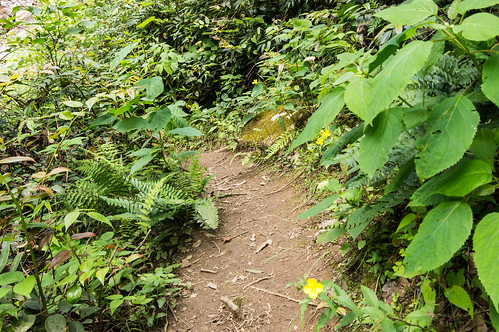
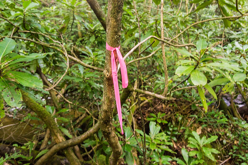
The easily followed trail heads uphill through the rhododendrons and vegetation closely following the creek.
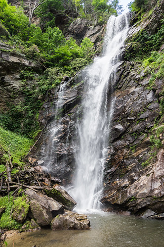
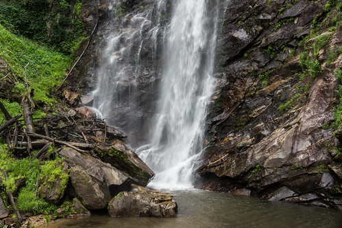
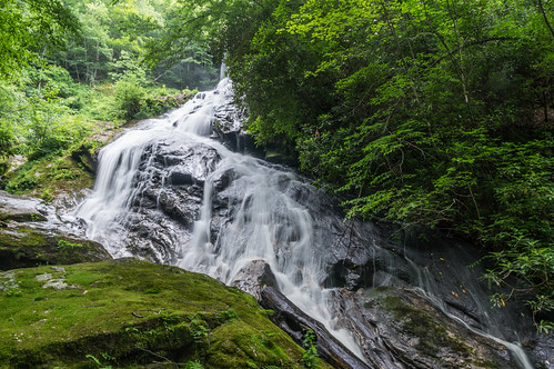
Sols Creek Falls is a rather impressive waterfall. This photo was taken from what functions as a small overlook:
I could feel the spray even from this distance. A swimming hole at the base was rather tempting, but proved too cold for my comfort.
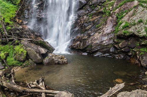
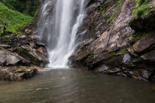
I took many photos focusing on different features of the waterfall.
My lens got wet quickly:
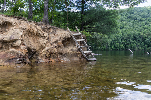
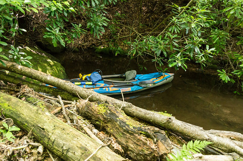
I went back down the trail and dragged my kayak back into the lake. I went past the island again to the cove where Falls Creek empties into the lake.
I made my way past a downed log into a shallow area. I neglected to bring along a small length of rope to keep my kayak from floating away, but I improved a tie off with a rhododendron branch.
Although even if the kayak came loose there was little chance of it getting past a downed log I had to carefully maneuver around to get to this point.
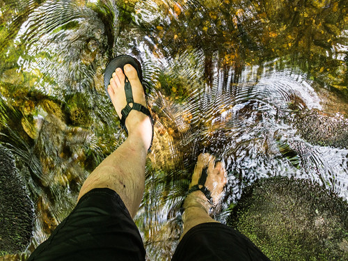
About a mile or so upstream is Flat Creek Falls. The directions to the waterfall I had were to creekwack upstream until I made it to an obvious trail which would head right to the waterfall. Progress was very slow.
I could see clearly a few feet ahead of me, but in right front of me I couldn't see much because of the sun reflecting strongly off the water. I eventually found the trail making progress to the waterfall much quicker.
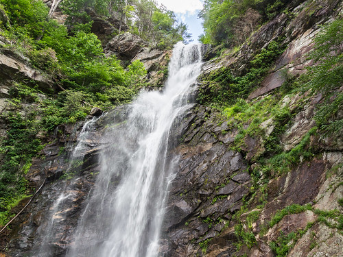
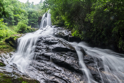
Flat Creek Falls is even more impressive in size than Sols Creek Falls. This waterfall is best seen from a distance, but that would have involved a bushwack to a dangerous cliff. This is the lower portion:
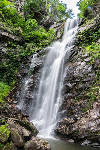
Climbing up the rocks reveals more of this beauty, but still not the whole thing:
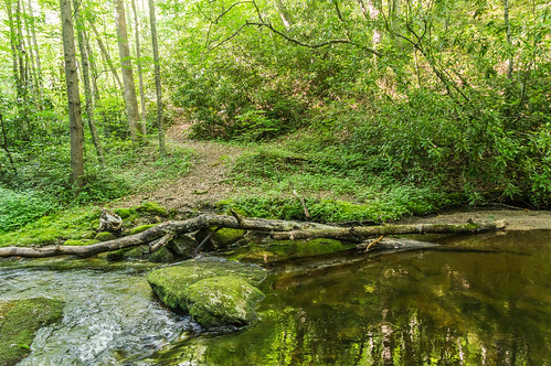
I followed the trail back to the point along where I first joined it, taking plenty of photos along the way.
However, the trail continues on the other side of the creek, and not wanting to expend even more time creekwacking, I followed the trail heading up above the creek until it turned away toward the ridge line. I kept going straight along what apparently was an old forest road until traces of the old road ended. Seeing no other viable alternative left, I started heading downward toward the creek again. I had actually made it most of the way back without having to creekwack, leaving only the last few hundred feet to wade back down the creek.
By this time, I had spent so much time heading to and from Flat Creek Falls the sun was getting low in the sky. Time to head back before I had to use my phone as a flashlight.
I made one more pass by the island...
then headed to the other bank to visit the third and last waterfall of the day, Big Branch Falls.
Big Branch Falls is at the end of Big Branch Creek, and empties directly into the lake. It's probably a nice waterfall, but the vegetation and the time of day made it hard to see. I took a video from my kayak, but it came out too shaky to share.
When I made it back to the access area a short time later, the sun was about to set. Good thing days are long this time of year, or I would have been paddling in the dark for sure.
It was a long, but rewarding day. It's too bad I didn't have time to visit more waterfalls along the other creeks that drain into the lake. According to statistics from my GPS trace, the Bear Creek Lake paddle and hike came out to about 11 miles.
I didn't notice too much boat and jet ski traffic, but more than I expected for a weekday. A few boaters were towing kids around in big innertubes. On the paddle back to the access area, I was mostly by myself except for a kayaker or two and some folks fishing.
My Flickr album from the Bear Creek Falls trip has all my photos from the paddle and hike, including photos of the trail I followed back from Flat Creek Falls. You can click through them below:
Next time I want to find a way to the Flat Creek Falls that doesn't involve a dreadfully slow creek wack, and visit more of the waterfalls around the lake.


Comments
Post a Comment