First visit to Andersonville Island
I took some vacation time off this week giving me plenty of days to choose from. I selected Wednesday, the 7th, for this trip to avoid the early week rain, and the later part of the week when the weather turns sharply colder. My other vacation days are being used to work on various projects inside the house.
Before I get to the adventure, first a short-ish history of the area.
Andersonville Island is named after the ghost town of Andersonville, once located on the northern and eastern side of the confluence of the Tugaloo and Seneca Rivers, forming the Savannah River. Andersonville was established in December 1801, named for and founded by Robert Anderson, a Revolutionary War hero. This Andersonville was no relation to the infamous Civil War prison camp in Georgia, by the way.
This snippet from an 1820 Robert Mills map of the Pendelton District shows the town before it ceased to exist:

This snippet from an 1897 map of the area only shows a mill and a church, Andersonville Baptist Church. This church would be relocated in the late 1950s during the construction of Lake Hartwell.

Andersonville Island is one such island created by the lake. To its west is Shaw Island, another potentially interesting island created in the making of Lake Hartwell. This 1959 topo map faintly overlaid over a current map captured from the USGS Historical Topographic Map Explorer shows the roads that were submerged or abandoned in the construction of the lake. Andersonville Island is the north-south skinny island in the center of the frame. Shaw Island is just to the west.


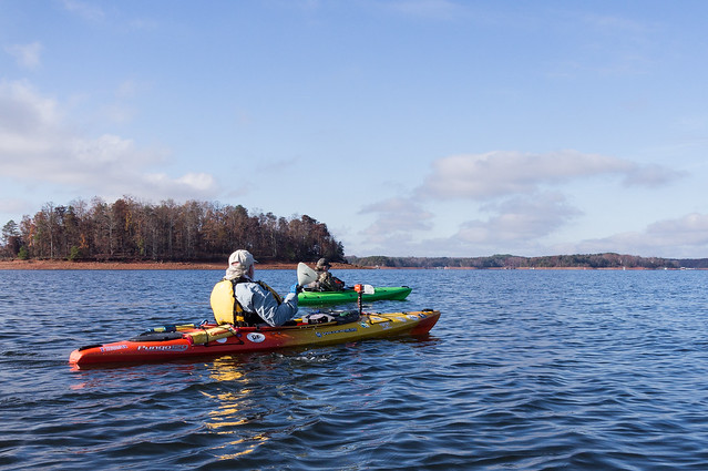
It took me much longer than I expected to reach the interstate, yet I still arrived a few minutes ahead of Tom and Bennie. This gave me some time to watch a motorboat being pulled out of the water and to get my kayak ready for action.
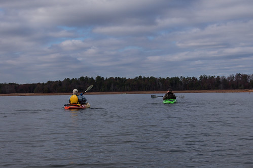
Soon, we launched and headed toward the island. I was concerned I wouldn't be able to keep up with their "hard shell" kayaks, but in reality I kept up just fine.
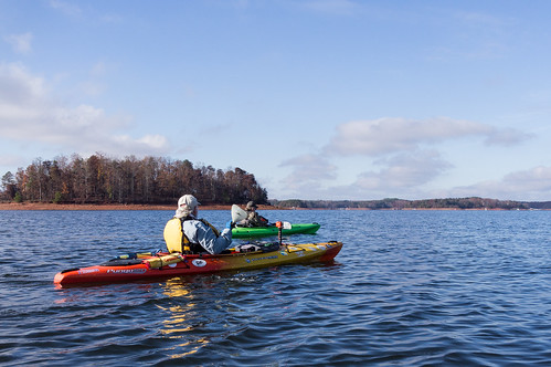
For someone who considers himself more observant than average, it look me a while to notice they both had the same model kayak, the highly rated Pungo 120, just in different stylings. Bennie had just recently bought this kayak and today was his first adventure with it.
I had checked the water level of Lake Hartwell reported by the website mylakelevels.info while researching this trip, and its graph shows the lake was about 10 feet below full pool. I pulled this snippet from the 8th, but the lake level hasn't changed much since the day before:

Bennie was the first to point out an interesting triangular rock I had only seen in photos, but didn't have it's location on the island shore. This triangular rock was painted blue and white to resemble the state flag.

Bennie had some trouble leaving his kayak when he stepped into the muck, but it was soon dealt with. I managed to keep my balance when I also stepped into the muck, but in retrospect I should have just walked over from the South Carolina rock.
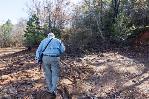
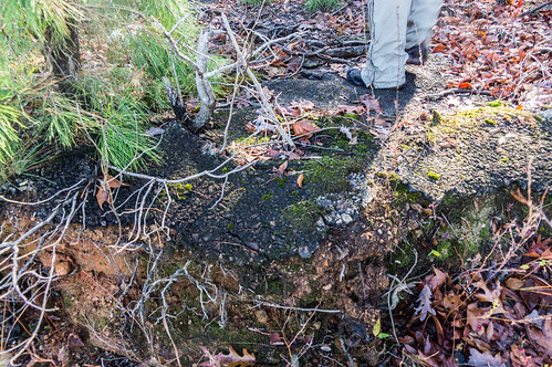
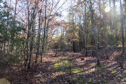
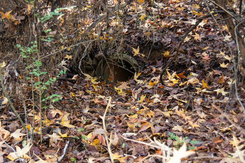
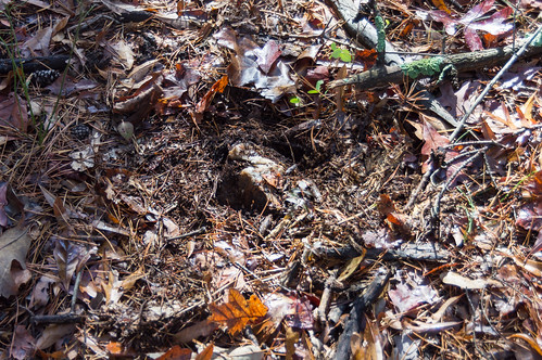
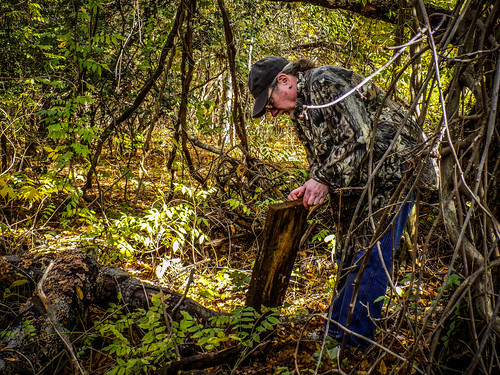
Photo by Tom Taylor
This tree stand may explain the piece of wood Bernie found. I don't know what happened to my photo of the tree stand, so I'll substitute in Tom's photo so you can see it:
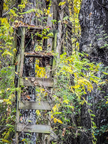
Photo by Tom Taylor
Tom and Bernie were speculating about the legality of hunting on the island. Afterwards, I looked into the legality of hunting and found a relevant webpage on the US Corps of Engineers website. This sentence clarifies the legality of hunting on the islands:
The islands on Hartwell Lake are open for hunting in accordance with state hunting regulations and seasons.Now to potentially answer why this stand wasn't maintained:
No permanent stands can be constructed on Corps of Engineers property.We headed back to our kayaks and ate a quick lunch before heading back out. I also had to inflate one chamber that had lost some air for some strange reason. My kayak has two chambers in case of leaks. If one leaks, the other one carries on. I'd have to check this out this air leak when I got home.
But with the short days this time of year, we just didn't have time to explore more of Andersonville Island, explore Shaw Island, and get back to our launching point before dark. We did, on the other hand, have time to circumnavigate the island, which is what we did.
That change also meant I prioritized paddling over taking photos.
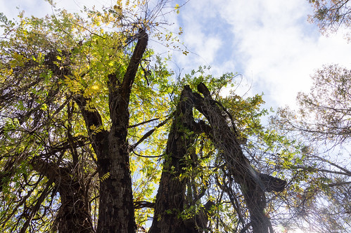
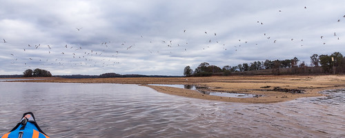
While rounding the northern part of the island we encountered a congregation of sea gulls that seemed actively disinterested in making friends. In other words, they took flight as we approached.
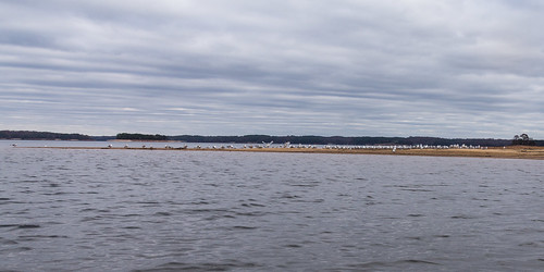
This part of the island contains the locations of two schools named Morris Shoals School, and most of the dots indicating structures on the 1957 SC DOT map above were concentrated on the northern half of the island. It's too bad we couldn't stop.
I landed onshore briefly to move my foot peg forward a bit then rejoined Tom and Bernie. The sky became cloudy and the wind picked up, and the air felt a bit cooler. Tom was moving along quickly, and I had to stop checking my map app to keep from having to catch up.
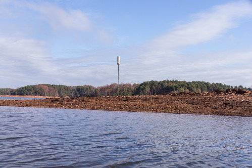
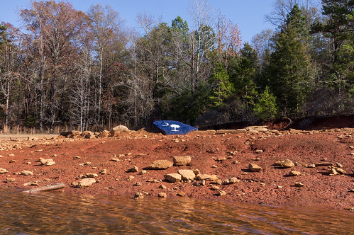
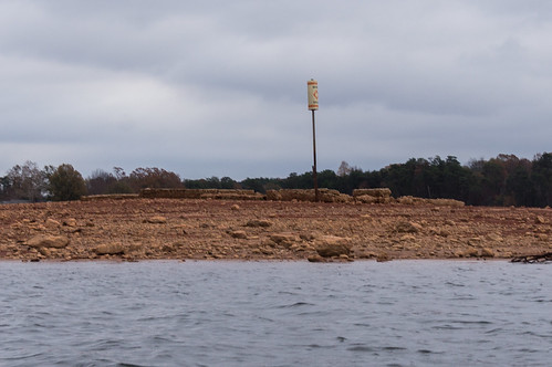
As we approached Jarrett Landing to take out, we found yet another "out of water" low water marker. But behind it was something we had been searching for this whole trip:

My legs started cramping while rounding the point, so I had slow down, but the ramp around the corner so it wasn't a big deal to fall back. One leg cramped getting out of the kayak, causing me to stumble and getting my pants wet. Fortunately, I reacted quickly enough to catch myself before I completely got dunked.
I deflated my kayak and packed up my gear while Tom and Bernie was loading their kayaks on to Tom's pickup. When I finished packing up, I exchanged goodbyes with Tom and Bernie.
After I got home, I disassembled my kayak to investigate the source of the air leak. When I inflated both air chambers, I could hear an obvious hissing noise. The source turned out to be a tiny pinhole leak near a seam. I have no idea when or where that happened, but a dab of glue from the repair kit took care of it.
I also found my GPX recording made by the GPS app I had used contained large gaps. I found I chose a too restrictive setting that filtered out the more uncertain fixes, resulting in the gaps.

I definitely want to come back to explore the northern half of Andersonville Island, and Shaw Island. The closest launch for this plan is Double Springs boat ramp. Let's do this!
I shared my photos to an album on Flickr and to an album on Google Photos.
Tom's photos are in his own album on Flickr, and his well-written (as usual) blog post about the trip is on his blog titled Return to Andersonville.
Thanks Tom Taylor and Bernie Waddell for joining me on this adventure!
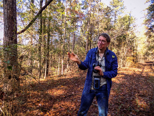
As a bonus (or a punishment?) for making it this far, here's a photo taken by Tom of me going blah, blah, blah about something or other.


That was a great trip. Thanks for inviting us. I'm glad you were able to find the source of your leak and get it repaired. I was impressed with how well your inflatable kayak kept up with the hard shell boats.
ReplyDeleteI found what I think might be a set of ruins on Shaw Island. I'll send you that link via e-mail.
Thanks! And I'll be on the lookout for that link.
Delete