I took an extra day off this week so I could go on an adventure. After considering some ideas, the one that stuck was a visit to the
Saluda Mountains Passage of the Palmetto Trail. This part of the trail is located along the North Carolina-South Carolina border on the northern fringe of Greenville Watershed land. The trail opened in 2012 The idea of hiking on land, off limits and undisturbed since the late 1950s when the city of Greenville forcibly acquired the land for its watershed, appealed to me.
I had no intention of hiking the whole trail. The part I was interested in was the Talisman Camp to Saluda Gap segment. The Old State Road, also known as Saluda Mountain Road and Saluda Gap Road, passed through
Poinsett Bridge, through
Merrittsville (now underwater) and Chestnut Springs, near Poinsett's Spring, and up through the Saluda Gap into North Carolina. This trip presented a perfect opportunity to visit the Saluda Gap, view an area forbidden until 2012, and see some history at the same time.
The parking area for the west end of the trail is at Camp Talisman, off Anders Road just past where Gap Creek Road turns off to the left when you come from Old US 25.
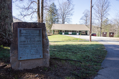
The trail follows the road for a bit, past Talisman Camp. This memorial still stands from when the camp was Elks Club for Boys.
Most of Talisman Camp is in North Carolina, but a small part is in South Carolina if Greenville County and Henderson County according to several maps.
The Greenville County GIS map shows this split. It also shows a part of Double Springs Cemetery just to the north is also in South Carolina.
Also, the Henderson County GIS shows the same thing:
A
plat in PDF format for the Talisman Camp property also shows this split.
What I didn't see is a sliver of land on Greenville County's GIS that shows the camp's owners have property on the South Carolina side. Instead it shows the city of Greenville owns the land. I also wonder what the new border will look like around this area, whenever the politicians
sort out the collateral damage that is.
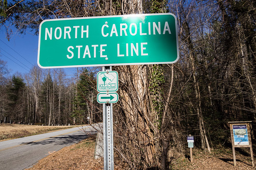
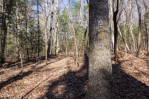
Across the street from Talisman Camp is a sign for the border, also marking where the trail enters the woods.
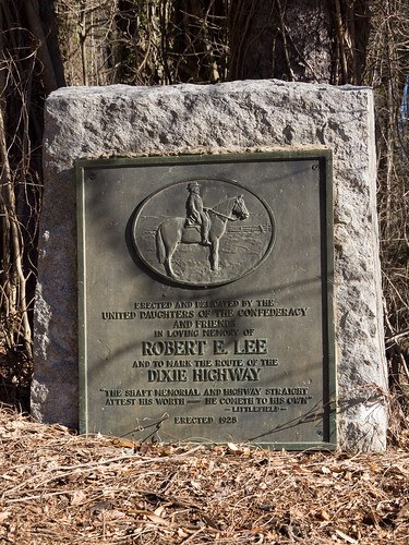
A few feet ahead is a memorial to the
Dixie Highway as
this section of road was formerly known by until 1928, then
U.S. 25 until the designation shifted over to the current U.S. 25 in 1973.
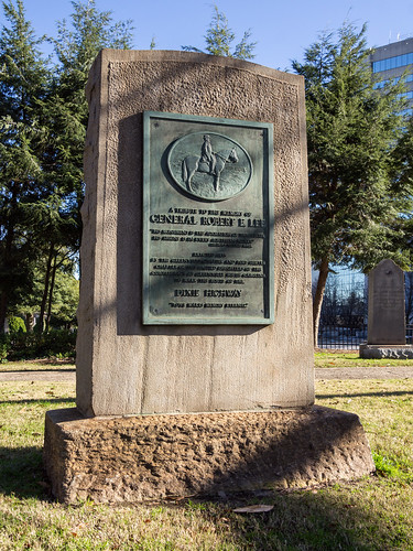
I found a very similar one in downtown Greenville near Springwood Cemetery when I was there the day before:
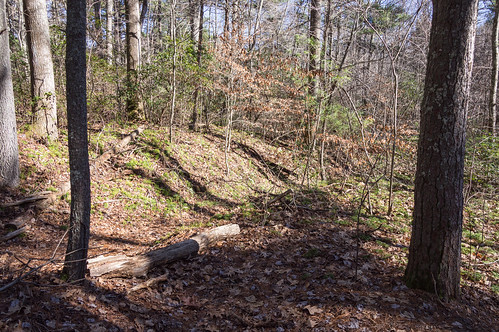
As I entered the trail, I was impressed by how easy the trail is to follow.
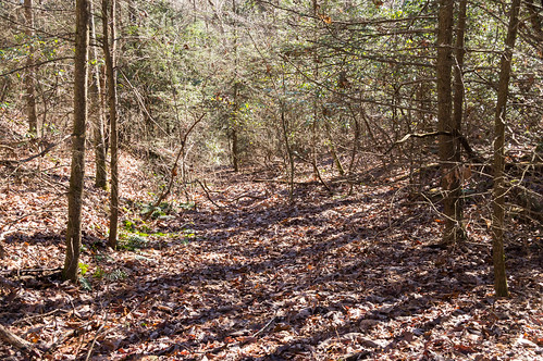
I soon came to the first old road no longer used due to the watershed. This road was used by the Elk Club for Boys when most of their camp facilities were on the South Carolina side until the city of Greenville acquired the land. I found a Hendersonville Times-News story
from 1956 and another
from 1957 about this change.
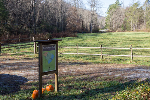
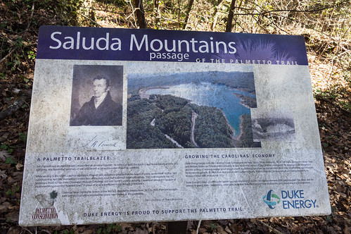
I saw two signboards on this trip. Here's the first one:
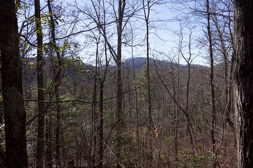
Like I noted earlier, the trail is close to the border. So close, I could see homes and buildings on the "other side" at times.
It was interesting seeing views you normally couldn't see because of the watershed, even if they were obstructed by trees.
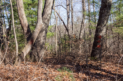
I noticed some trees painted with red paint. Looking at my the USGS quad map I loaded into my tablet's hiking app, I figured they must mark the location of the border.
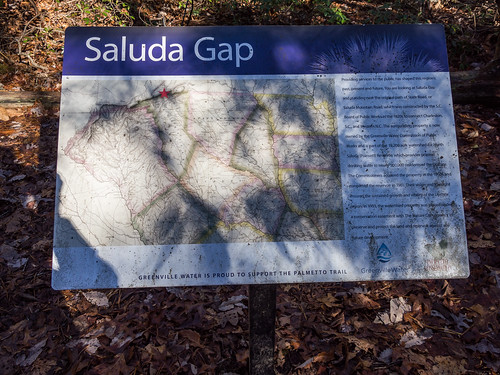
I found this hike less strenuous than my last trip, and I was also able to make better time this trip. The last trip featured stones that had to be carefully navigated which slowed my down a lot. This trail had no such problems even with the climbs and drops. Soon enough, I was at Saluda Gap where the second signboard waited.
This is where the old State Road, in this section called Saluda Mountain Road or Saluda Gap Road, passed by up into North Carolina. I
made a map showing the road's path through this area, and my best guess where it went below Poinsett Bridge. I consulted the Mill's map of Greenville District, and some other maps to make my best educated guess.
I went on a bit further, then I turned around. One thing I noticed on the way in was a road that often paralleled the trail. USGS topo maps confirmed this:

On the way back, I paid more attention to this path. Here's the path diverging off to the right.
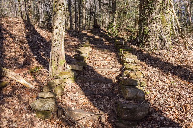
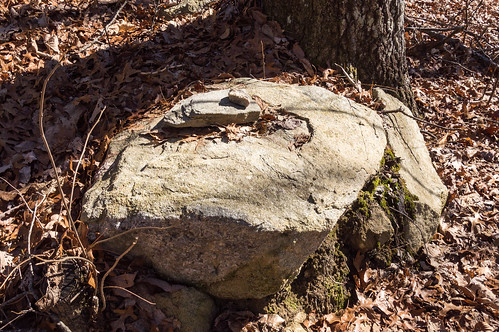
On the way in, I noticed a few small cairns. On the way out, I remembered to take a photo of one:
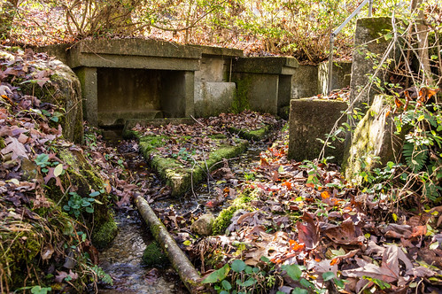
I made quick time on the way out like I did on the way in. But before heading home, I stopped by Double Springs Baptist Church. The name "double springs" intrigued me, so I had to see if the church lived up to its name. The maps I consulted didn't show any creeks or springs which I also found intriguing.
I started walking down a path, but this went past the springs. The USGS topo map showed this path was yet another old road. I could see the springs, but couldn't really get to them easily. I backtracked and walked down past the church this time. Sure enough, this church name's proved true.
With my curiosity now satisfied, I now made my way home.
I've shared my photos in
an album on Flickr and in
an album on Google Photos.
This morning, I happened to find a series of three videos by Youtube user XtremeKatfishn where he walks the same trail in 2012, one day after it opened. View
part 1 (the part I walked),
part 2, and
part 3. He pointed out a chimney in part 1 near where I started that I didn't spot. D'oh. Thanks XtremeKatfishn and good job taking video of this!


Great post! I've been wanting to check out both the old state road as well as the Dixie Highway. I was unaware of the markers. I wonder if there are others along 25 in other parts of the state. Might be worth checking out HMDB.
ReplyDeleteInteresting post. Good job Mark.
ReplyDelete