With clear skies and cool weather, for once I picked a perfect time last week to take a vacation to visit some waterfalls. This time I chose to visit Moonshine Falls and Confusion Falls, two waterfalls near each other in the Mountain Bridge Wilderness Area in northern Greenville County near Caesars Head.
Of the
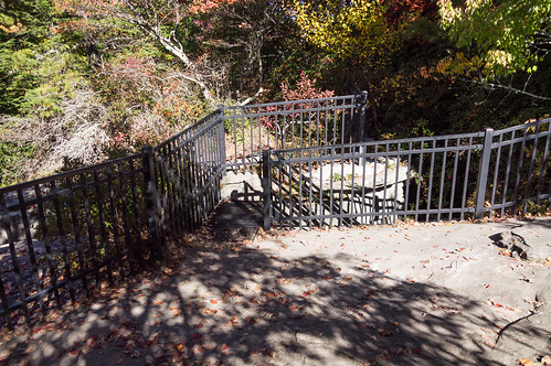
four possible ways to get there, the one that appealed to me was the route from Caesars Head State Park where I could enjoy the fall view from the overlook before heading out. This route, one way, is about 4 miles according to OsmAnd+, one of my navigation apps I used to guide me to the falls. This route is downhill toward the waterfall, making it uphill on the way back.
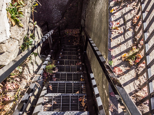
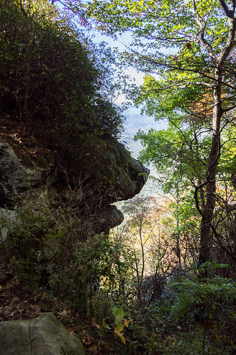
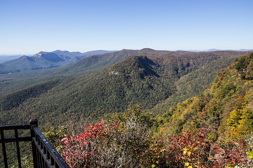
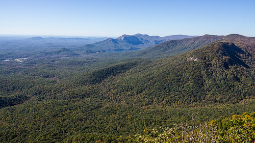
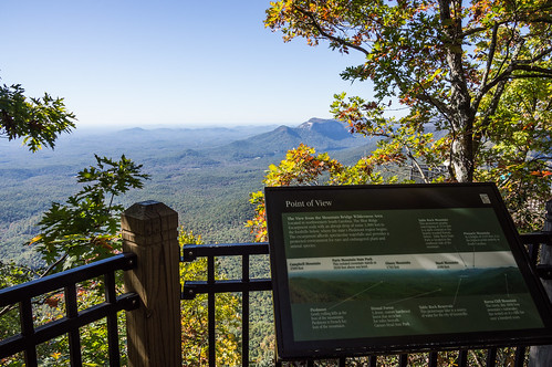
But first, the Caesars Head overlook. I took a quick tour of Devil's Kitchen,
the namesake rock formation,
before turning my attention to the overlook.
I walked down the highway to meet up with Naturaland Trust Trail #14. Along the way, I walked by
The Mountain House, once an Esso Station and a post office, but now a restaurant. I've driven by the place several times over the past several years, and this is the first time I've noticed the place open for business.
Pity I didn't have time to stop in.
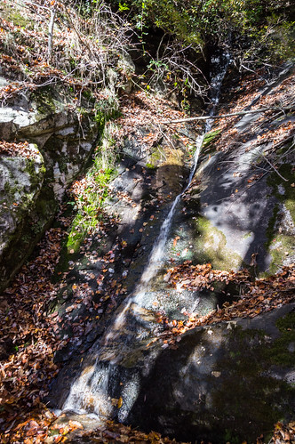
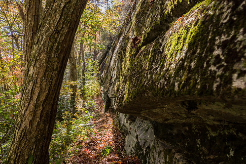
Naturaland Trust Trail #14 parallels the highway for a distance, crosses a driveway, before descending and heading away from the highway. A short distance down the trail is Rock Cliff Falls. The lighting here was unhelpful, and so was the flow.
The path through here is narrow and slightly downhill.
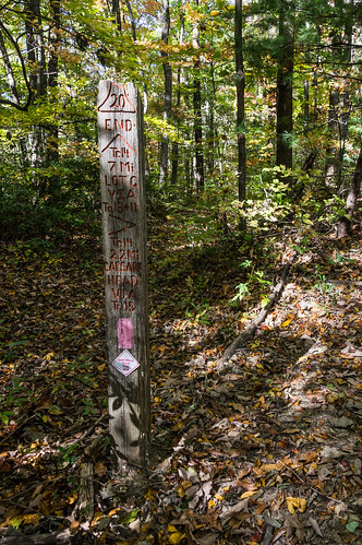
At the trail sign, I take a sharp turn to continue following Naturaland Trust Trail #14.
The trail is rocky, slowing progress. The trail turns left and begins a sharper descent, becoming less rocky in time. This lets me finally gain some speed.
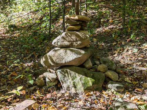
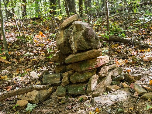
A cairn marks the intersection of the trail to Confusion Falls.
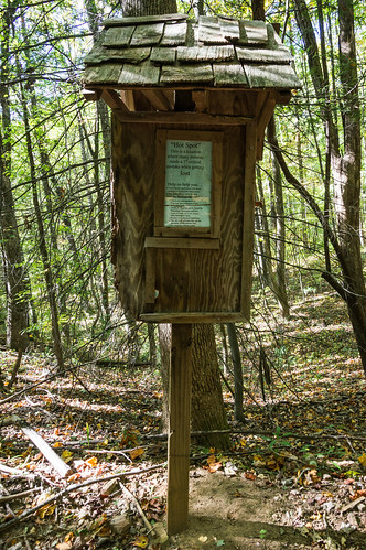
A few hundred feet down this trail is this sign board warning about losing your way.
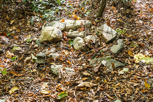
This wide trail follows an old logging road for a while, permitting me to move along quickly. Another cairn marks the place to turn down to the falls.
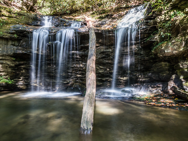
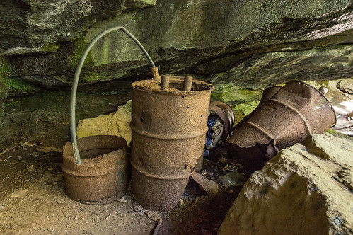
After following the trail down a short but steep descent, the upper portion of the falls comes into view, along with the namesake moonshine barrels. The sun wasn't at a great angle, but I made do.
I wish I could have made my way down to the base to take more photos, but it took so long to get here I had to move along to Confusion Falls.
I made my way back the trail and headed downstream. The trail became faint and I eventually couldn't find it anymore. I left the ridge line and began a sweeping arc down the steep slope toward the creek. At the bottom, I passed by a campsite just downstream from the falls.
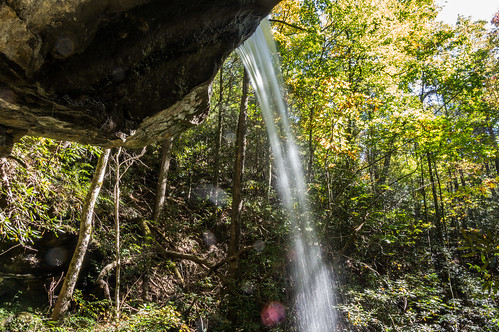
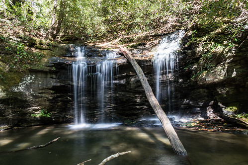
This time the lighting wasn't so bad. Confusion Falls is a small beauty!
Both waterfalls are quite beautiful, and I wish I had more time to visit them, but getting back was going to take long enough so I had to go. The mostly uphill trip back was quite exhausting and time consuming, especially after rejoining Naturaland Trust Trail #14. I didn't drink any water on the way down, but I sure did on the way back.
When I did get back to my car, the sun was setting and the light was fading. A few minutes more and my tablet would have been repurposed as my flashlight!
Below is a general map of the trails in the area. Zoom in to the bottom left to better see where the two waterfalls are:
I've shared my photos to
Moonshine Falls and Confusion Falls - Oct 2015 on Flickr and an album of
the same name on Google Photos. I'd like to come back sometime, but this time via Pinnacle Pass Trail and preferably on a cloudy but dry day.


Comments
Post a Comment