Exploring the waterfalls of Caesars Head State Park

Friday, January 30, 2015
I took four days off this week with the intent of exploring waterfalls. What actually happened is I spent the first three days working a second job to help with some unexpected expenses. On the fourth day, I went up to Caesars Head State Park for a few hours to find three waterfalls I read about in Waterfall Hikes of Upstate South Carolina (2009) by Thomas E. King, my go-to reference for waterfalls since 2010.I've driven by the park several times during the last several years, always on the way to somewhere else. I've certainly been there before, but I don't recall stopping by the park anytime in the last ten years, if not longer.
On the way up I pulled off the side of the road to visit Drip Rock Falls, by the roadside off U.S. 276.
It's a nice waterfall, but nothing special. I knew this one wouldn't photograph well, so I also shot a brief video:
At the park, I first visited the overlook, and the famous profile.
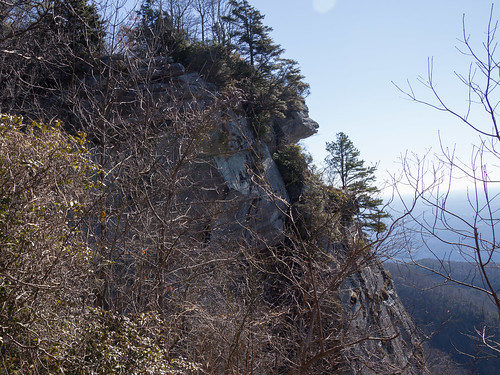
The overlook offers some fantastic views.
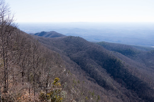


Unfortunately, my attempt at a panorama didn't turn out very well or I would have shared that too.
I also visited Devil's Kitchen, just a few feet away:

I then headed across the street down Frank Coggins Trail to travel to my first waterfall of the visit, Cliff Falls.
To get to Cliff Falls, I followed Frank Coggins Trail until I met up with a wooden footbridge over a creek.
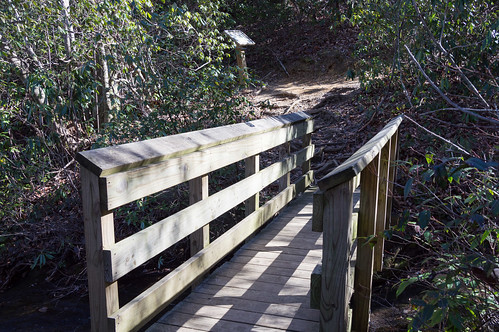
The waterfall is visible from the footbridge. Just beyond the footbridge the trail intersects with Rim of Gap Trail.
Rim of the Gap Trail is closed seasonally due to ice beyond this point. A steep side trail to the waterfall is about 100 feet down this trail. I found a side trail on the other side too.
From the base, I took a photo from the left side and the right side of the waterfall. Either way, this waterfall is lovely.
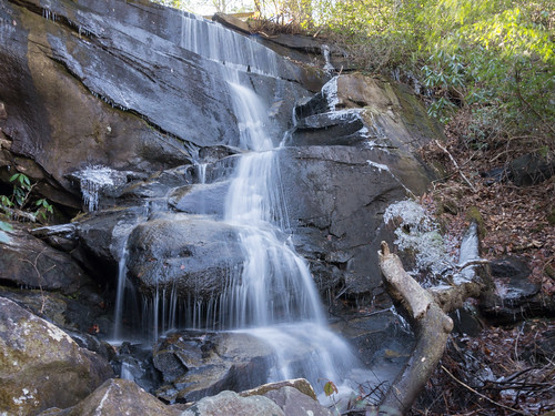
I do like the first (left side) photo better though. This was my favorite waterfall of the trip.
Here's my 30 second video of this waterfall in action:
Further down the trail is Firewater Falls. The directions in the 2009 book have Firewater Falls off Naturaland Trust Trail #14 with a pink blaze, but as of 2015 it's on Frank Coggins Trail with a purple blaze.

Like Drip Rock Falls, it's nice but not worth seeing on its own.
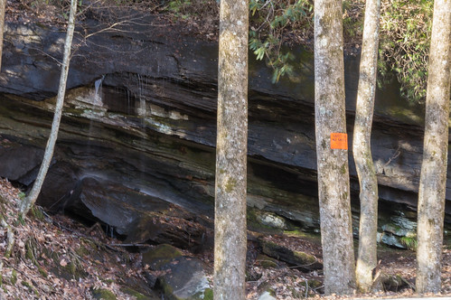
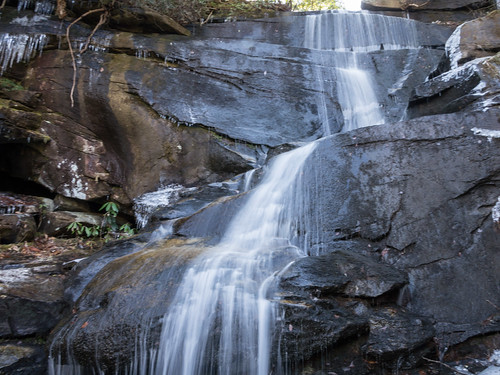
To get to my last waterfall, Rock Cliff Falls, I left Frank Coggins Trail and followed Naturaland Trust Trail #14 across U.S. 276 and under a cliff. Another photographer was already there and I didn't want to rush him, so I went a bit further down the trail to find some other photo opportunities in the meantime.
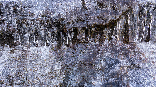
This area is under a cliff with a house visible on top with some icy spots, but nothing too hazardous. I call this photo "icy teeth":
After he got his shots, I came back for my own.

This one is a small but beautiful waterfall, and my second favorite waterfall of the trip.
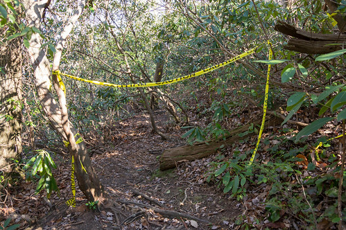
I backtracked over U.S. 276 with the intent to return by Frank Coggins Trail, but I found a trail not on my map, so of course I had to explore it. I didn't notice a blaze or any other marker, but the trail was clearly visible and easy to follow.
This mysterious trail took me back to U.S. 276 about a quarter mile away from the visitors center. While walking back up to the visitors center off the side of the road, I noticed an abandoned building near a modern house. There weren't any signs posted, so of course (again) I had to check it out.

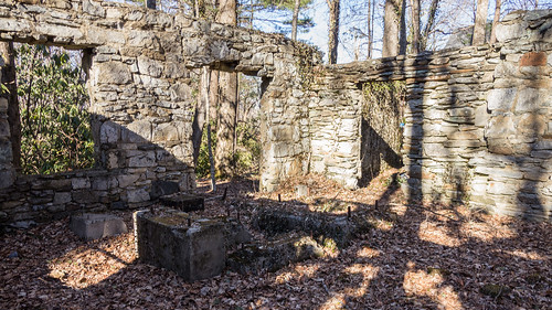


Greenville County GIS shows the building is on the edge of SC DNR property, explaining the absence of No Trespassing signs. A 1969 deed for the adjoining property reveals this was once a store.
I had a good day finding waterfalls. My only regret was not bringing a coat with me. The area around of Caesars Head was rather windy that day, but a few minutes down the trail and after losing some elevation the wind wasn't an issue anymore.
I've uploaded an album of my photos to Flickr and an album to Google Photos.
I added the waterfalls to OpenStreetMap for everyone's benefit and also improved or added the paths I traveled. Here is a map of the area explored:
View Larger Map


Comments
Post a Comment