Dargans Cascade loop hike
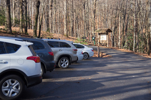
Instead of parking at Jones Gap State Park, this time I parked at Raven Cliff Parking, just past Caesars Head State Park:
View Larger Map
Part way up Caesars Head on U.S. 276, the fog became thick making the twists and turns even more "fun" than usual.
The visibility was so bad I had to depend on the navigation software on my tablet to help find me the parking entrance. I'm loathe to rely on GPS for something I should be able to see for myself, but in this case I'm thankful I had it or I would have missed the turn.
In the short time it took me to park, pay the fee, and get my backpack out, the fog had vanished. If I had arrived just two minutes later I wouldn't have had any trouble at all. Huh.
When I got out of my car, I discovered one of my car's hubcaps was missing. It wasn't missing when left home, so I couldn't blame some scum bag thief. Drat.
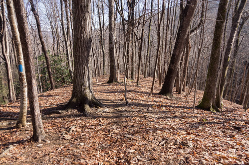
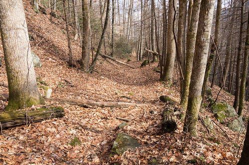
Dargans Cascade is by Jones Gap Trail near a part of the trail called "the Winds". From this parking lot you take Tom Miller Trail to connect with Jones Gap Trail.
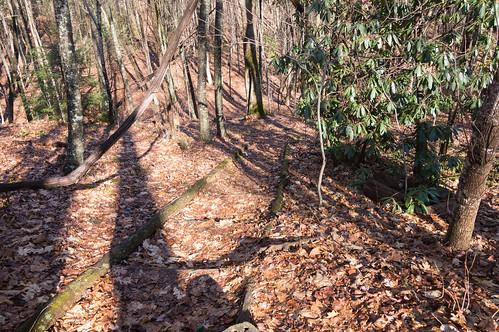
Tom Miller Trail descends toward Jones Gap Trail, following a ridge line part of the way.


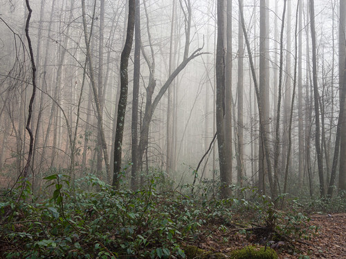
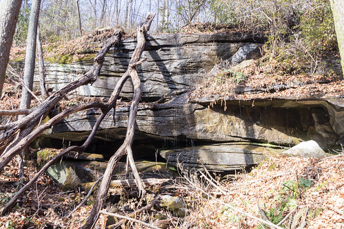
After the descent near the Middle Saluda River, the fog had not yet been scoured out.
Once I met up with Jones Gap Trail, I found a nice waterfall I hadn't heard of before.
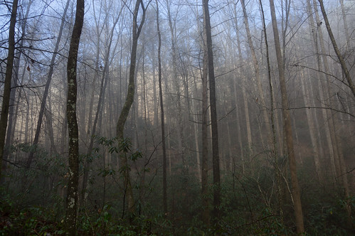
As I walked back up to bridge at the top of the falls, I noticed the fog had vanished.
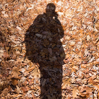
Being a trendy, hip person (snicker), I couldn't resist taking one of those "selfies" since that is the trendy, hip thing to do these days.
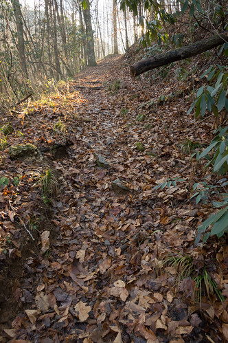
Shortly I came to the section of the trail called "the Winds".
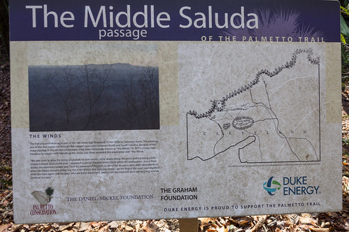
"The Winds" is a series of switchbacks that ease the change in elevation, and has been a part of this trail since it was a toll road in the 19th century. You can see it depicted here on OpenStreetMap's rendering of the trail of the time of writing:

[current version]
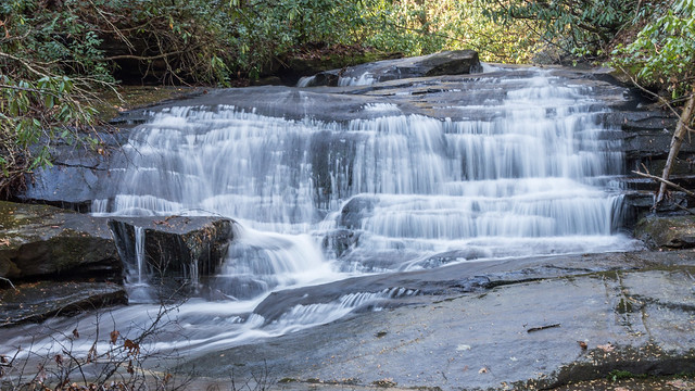
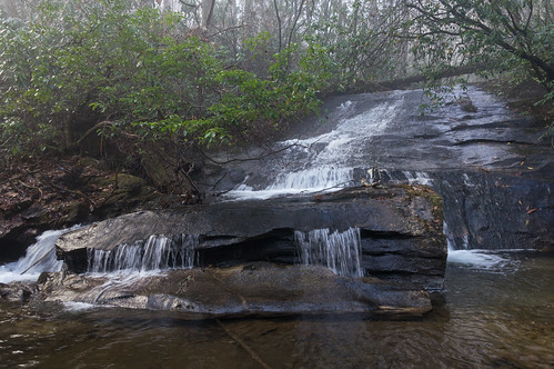
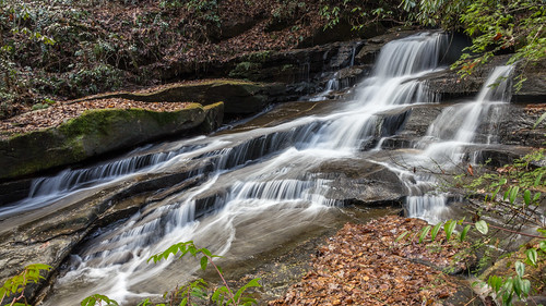
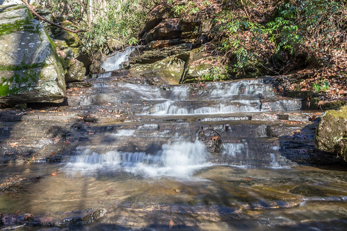
At the bottom of "the Winds" is Dragans Cascade, a rather attractive looking waterfall. This is the upper section:

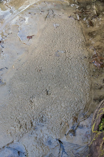
I used my tripod for that photo and I think this one turned out nicely. The area at the base has a few sandy spots where I noticed a few animal tracks. I only found one photo where the tracks were visible enough in the photo to make it worth sharing.
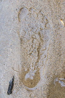
I couldn't resist taking off my sandals and left my own mark for other hikers to find. I wouldn't be surprised if this footprint was already gone though.
Here is the lower section:
I did not use my tripod for this shot. For this one, I took a lot of photos and selected one later where the leaves were in reasonably sharp. This one also turned out rather nicely
I decided I had enough time to make a loop by continuing down Jones Gap Trail to Coldspring Branch Trail then back to the parking area. This would take me past Toll Gate Falls I visited during my last trip.
On the way I took an interest in a low flow waterfall.
The flow is rather low, and I didn't think setting up the tripod and slowing down the shutter speed would help that much. I call this unnamed waterfall Leaning Branch Falls for obvious reasons.
A few minutes later I made it to Toll Gate Falls. I tried using a slow shutter speed here, but the results were just ok.
From my previous trip, I knew the intersection with Coldspring Branch Trail wasn't very far away.
From reading someone else's trip experience hiking this trail, I knew there's be plenty of creek crossings. For the past few years, I've been wearing minimalist sandals on my hiking trips, and this time was no exception.
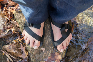
Sandals like this really do make hiking trails with stream crossings much easier for me. I just walk through the water instead of rock hopping like most people do with their hiking shoes. I still do have to watch out for and avoid those slippery smooth rocks though.
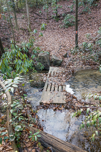
The first crossing was.... interesting.
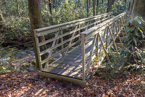
The second crossing was much better with a proper bridge.
The water crossings came early and often on this trail. Most of the other crossings had no bridges at all so you either just walk through like I do or rock hop.
Here's a sample of the many water crossings:
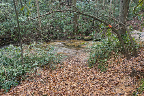

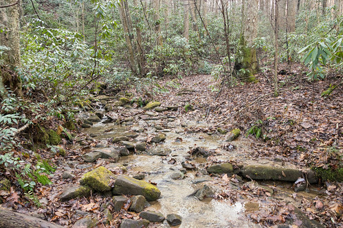
I counted seven crossings over Coldspring Branch, and a few more across streams I didn't bother counting.
The trail was mostly uphill all the way, paralleling Coldspring Branch until getting close to U.S. 276.
On this trip and also on the last trip I used OsmAnd+ for navigation both in the car and on the trail. The maps are based on OpenStreetMap and uses vectors instead of pre-rendered tiles to dramatically reduce storage requirements. All of South Carolina is stored in about 100mb, while all of North Carolina is stored in about 200mb.
Being vector based means I could use the built-in trail path for navigation, even though the path was off in spots. I always had a rough idea of the remaining distance along the path between my location and the parking area, and an estimate of how long until I would get there.
Below, I'm about 1.92 miles or 37 minutes from the parking area, and I'm at about 2200 feet. Also, notice the height contours.

The trail eventually levels out as the trail approaches U.S. 276. Just before the road, the trail takes a sharp right turn just before reaching the gate.
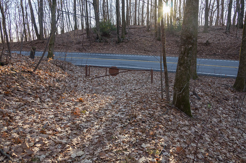
The trail then drops into a valley, then rises again toward the parking area.
My hike lasted about 5 hours, and now the sun was about to set. I put my backpack into the back seat, took off my sandals to let them dry on the way home, and headed back down the mountain. On the way down, near an old roadside spring, I spotted a hubcap by the side of the road that looked suspiciously like my missing hubcap. I had to check it out.
After finding a place to turn around (not easy up there), I pulled off the side of the road near the spring. This hubcap was identical to the other ones on my car. I must have lost it around here somehow. Anyway, I lucked out and got it back. Huzzah!
This gave me an opportunity to check out the old roadside spring I've passed by many times over the years.
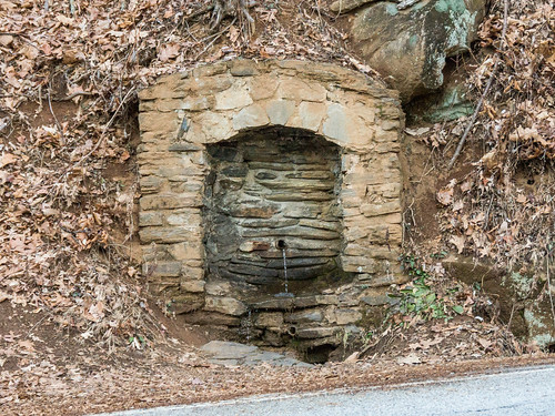
I'm curious to know the history of this spring, but so far I haven't found any information about it.
Overall, I had a good, but exhausting day.
I shared my photos to an album on Flickr and an album on Google Photos.
This is the general area where I hiked today:
View Larger Map


Comments
Post a Comment