Recently, I went on an excursion to Pickens County to hike portions of the railroad bed left behind by the Appalachian Lumber Company railroad. The Appalachian Lumber Company was a short lived logging company (1927-1929) with a railroad track from Town Creek to its lumber mill up in Jocassee Gorges. A flood in 1929 wiped out the company's railroad track in the Jocassee Gorges area which soon forced the company to declare bankruptcy in June 1929. Most of the rails have long since been salvaged, but a few were left behind.
But first, I stopped at SC 186 at the Saluda River to take a photo of
Old Earls Bridge, a historic steel truss bridge spanning the Saluda River a few hundred yards downstream of the current concrete one.
Or at least it was. The bridge is gone, only the abutments remained.
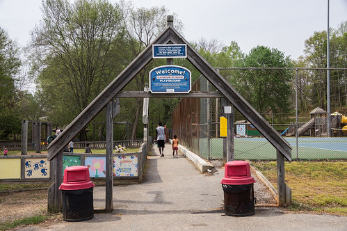
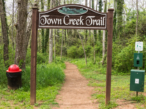
My second stop was the Town Creek Park in the city of Pickens, SC. The park is home to the Playground of Promise, a popular playground if my visit was any indication, and to Town Creek Trail, the reason for my visit.
The approximate location of the parking lot entrance is marked on the map:
In this park, parts of the Town Creek Trail follow the American Lumber Company railroad bed and it was those parts I was interested in hiking.
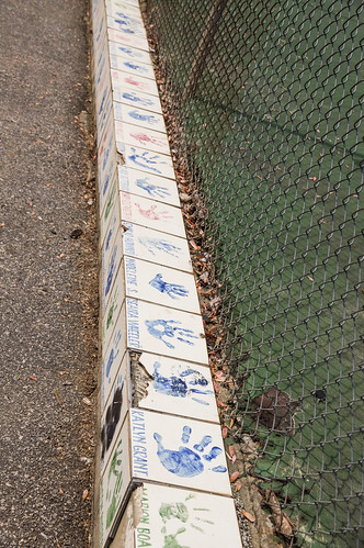
Town Creek Trail begins on the other side of the playground. You can go around or walk through the playground and walk over the small child-sized fence. I elected to walk through on the way in and around on the way out. The entrance walkway had some interesting porcelain tile painted with children's hand prints.
At the end of the playground is the trail head for the Town Creek Trail.
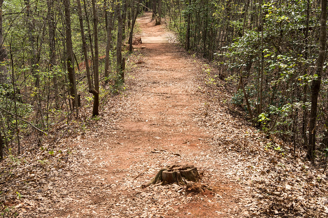
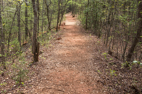
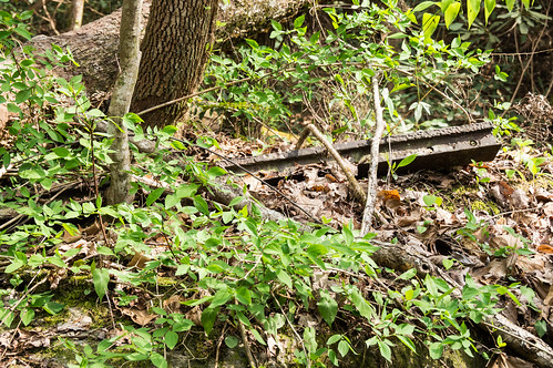
I, of course, followed the trail that followed the railroad bed. The most obvious evidence of the railroad bed I found in this place along the trail where it drops off on both sides.
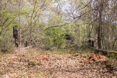
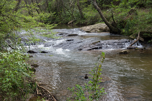
The end of the trail drops down to Town Creek.
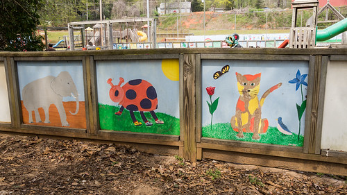
Declaring "mission accomplished", I head back to the parking lot. This time I went around the playground so I can check out the colorful murals.
My next stop is north on U.S. 178 to the small parking area off of Cleo Chapman Highway to access the Twin Falls Trail.
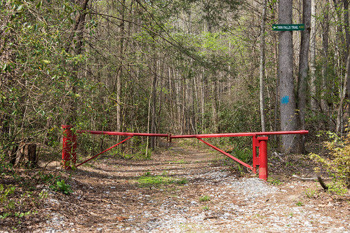
By the gate to a forest service road is a small parking area for about two cars.
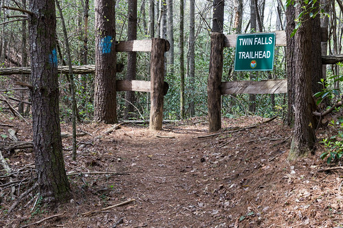
This confusingly named trail provides access to the top of Twin Falls, not to the base. The trail to the viewing platform at the base of Twin Falls, called
Waterfall Trail, begins at the parking area
at the end of Water Falls Road.
(added 04/02/2012)
After parking my car and retrieving my gear, I walk past the gate and follow the plentifully marked blue blazes (no bad jokes please) to the trailhead.
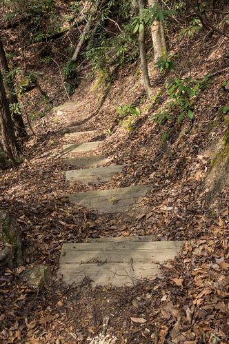
The trail continues toward the falls with some stairs going down...
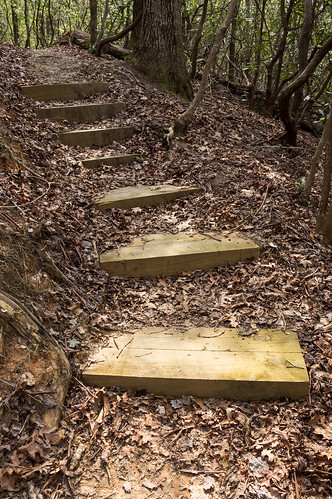
... and others going up.
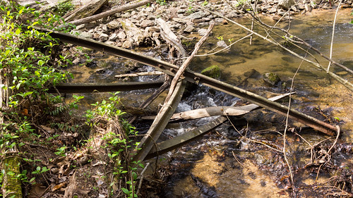
About halfway to the top of Twin Falls, the trail becomes concurrent with an orange blazed trail. I'm guessing this orange blazed trail follows the path of the Appalachian Lumber Company railroad bed. Once I get close to the falls, I start seeing the bent and twisted rails from the 1929 flood.
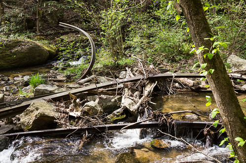
The closer to the falls I came, the more rails I found. The falls themselves are littered with bent and twisted rails. It's amazing to see what nature can do to rails I couldn't begin to move.
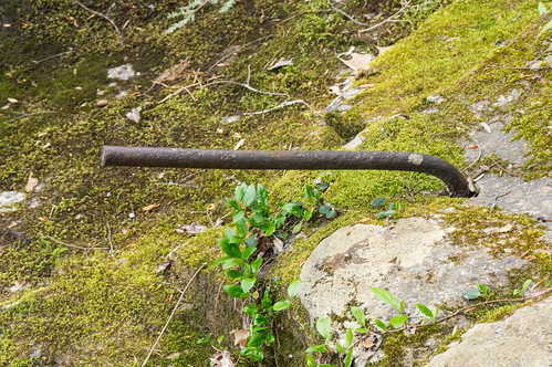
The trail officially ends here at the top of Twin Falls, but I decided to keep following the path as far as it would take me. A few hundred feet upstream, I found a series of holes and a bent rod where a trestle over the creek must have been.
It was getting late in the afternoon, so I decided not to hike up the creek and turn back. If I had continued going upstream, I would have found
more railroad ruins.
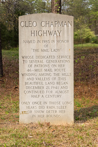
I made what turned out to be my last planned stop at the other end of Cleo Chapman Highway where a marker to Cleo Chapman stands.
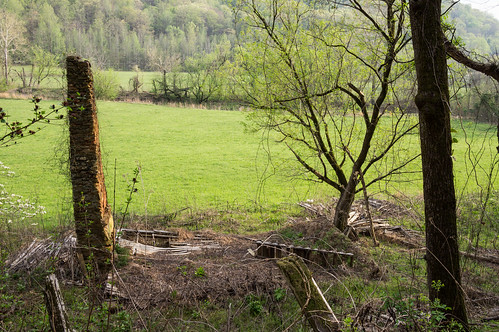
The clouds were getting dark and my windshield was getting dotted with sprinkles, but I saw the ruins of a house and I couldn't resist stopping the car long enough to take a few quick photos of the ruins.
I had wanted to go further north up to the Eastatoe Creek Heritage Preserve to explore more of the Appalachian Lumber Company railroad bed. But the sprinkles that were threatening to become a downpour changed my mind, so I started home. And if I had kept going upstream from Twin Falls, I would have gotten soaked. Whew!
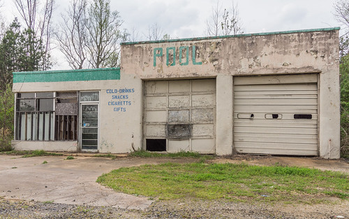
On the way home, I saw an abandoned business from the road. Like house ruins, I find these hard to resist and so I had to stop. The rain was still falling, so I rolled down my window and took this photo:
I'm guessing it's a little too late to point out that "cigarettes" is misspelled.
I passed through Pumpkintown on the way home, and it would have made a nice quick photo stop, except the downpour had resumed so I had to keep going.
You can see all of my photos from this trip I've shared
in an album on Flickr.
References and Further Reading
Update 2017-03-25: Changed images over to the Lightroom processed photos on Flickr.


Comments
Post a Comment