The Wintry Waterfalls Tour
A "cold wave" has been in progress in my area the past few days resulting in temperatures during the day some days not rising above freezing. After seeing photos of frozen waterfalls in other places, I thought it'd be interesting to see some on my own. I spent the last two days doing just that.
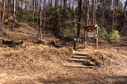
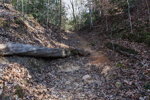
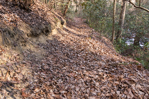
The trail mostly follows a partially eroded logging road up, and up, then up some more, then up even more.
The first waterfall I wanted to visited is on Little Falls Creek. I left the trail where an old aerial map suggested there might be an old logging road to lead me right to this waterfall. I didn't find this logging road, so I decided to head back down to the trail.
As I approached the Little Falls Creek crossing along the trail, I could hear and see the waterfall. I bushwacked my way up to the base of this long beauty, finding an obvious path along the way.
I took a short video of the waterfall in action:
The obvious path led up the right side of the creek, and I followed the path until the going got too steep for me. I took more photos up here, such as this one:
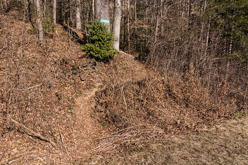
I followed the obvious path back downhill until it met up with Falls Creek Trail, the last portion deliberately covered with branches to obscure its presence from the trail.
I crossed Little Falls Creek...
then spotted an old logging road following Falls Creek, this road also deliberately obscured by tree limbs.
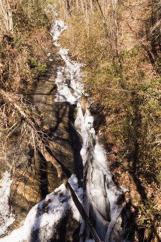
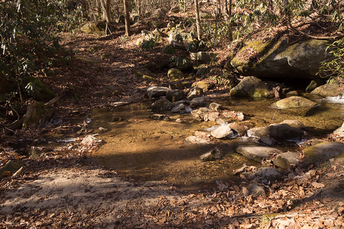
I thought maybe there may be another photo opportunity, and I wasn't disappointed.
I went back to the trail and began the strenuous climb up to Falls Creek Falls, where Falls Creek Trail ends and Hospital Rock trail begins.
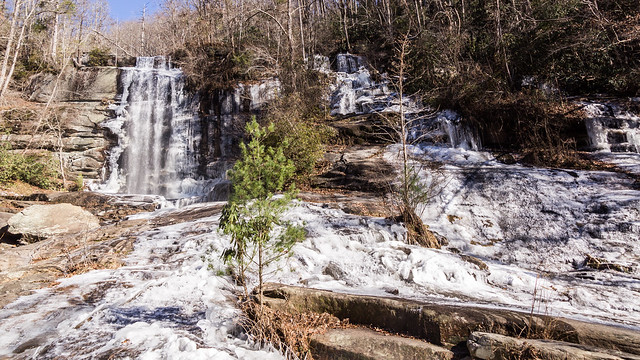
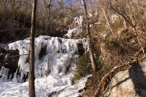
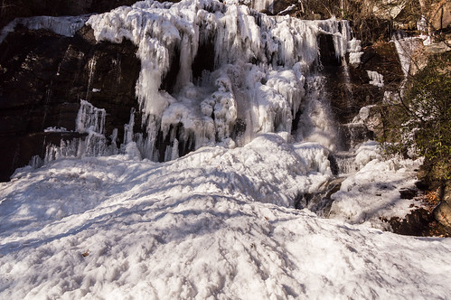
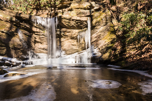
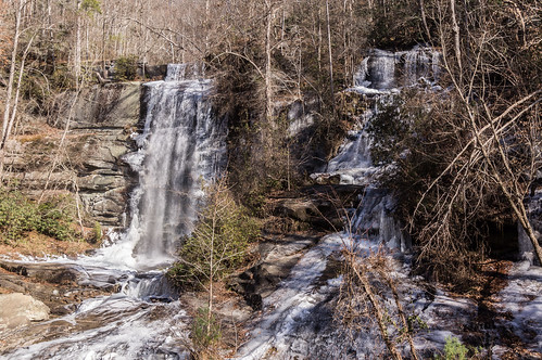
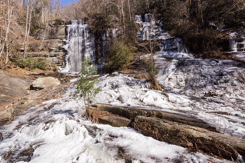
The reward, however, was completely worth the climb. Falls Creek Falls was almost completely frozen over:
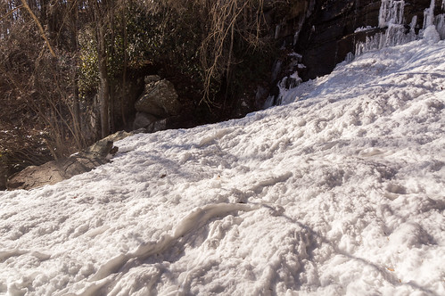
I pondered a minute whether to take the risk venturing out into the middle to get a better view.
The worst that could happen is a foot would get wet and cold, so I went for it.
In this short video, you can see and hear the water flowing under the frozen top layer:
Of all the waterfalls I visited in these two days, this one is my favorite due to the waterfall being almost completely frozen over.
I had considered trying for Chute Falls, a waterfall just downstream from here, but sun was already getting low, and the air was getting colder. I decided to make my way back to the trailhead.
I left my car in the parking area and walked down to an easily missed path by Slickum Creek.
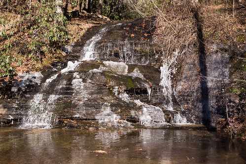
Two waterfalls are down this trail. The first one, Last Falls on Slickum, is only a few feet away. A thin layer of ice covers the pool below.
This is my short video of the water flow:
A few minutes down the trail is Sweet Thing on Slickum. In my humble opinion, Sweet Thing on Slickum is one of the best looking small waterfalls around. As with Last Falls on Slickum, a thin layer of ice also covers the pool below.
This is my short video of Sweet Thing's water flow below:
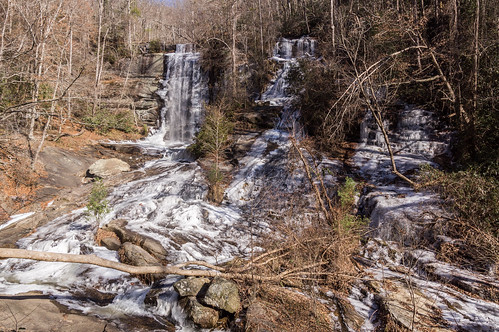
My fourth and last waterfall of the day was Twin Falls, located in northern Pickens County in the Eastatoee community. The trailhead is located at the end of Water Falls Road, a one lane road off Eastatoee Community Road, in a surprising large parking area, partially shown here:
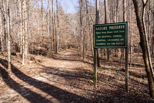
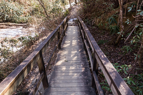
The short trail follows an old forest road:
In my last visit in 2011, I encountered a memorial to Buck Hinkle, a local resident involved in the creation of the nature reserve.
The sign holder is now gone, and the mill race has been moved:
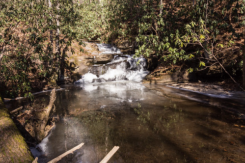
The trail closely follows Reedy Cove Creek. In places, I could see the creek was almost completely frozen over:
The ice flowing downstream was interesting:
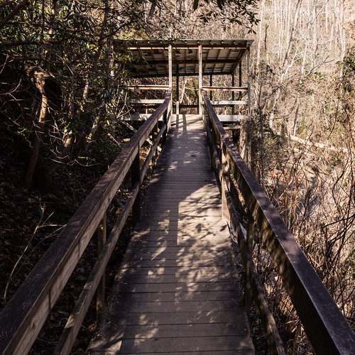
The trail ends at a viewing platform...
where the best views are located.
I took a short video of the water flow from the viewing platform:
Down closer to the base, the trees obstructed the view a bit:
But too soon it was time to head back to the car.
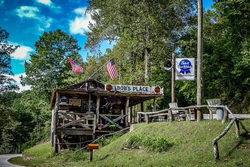
However, I had one more stop to make before going home. Bob's Place, once the longest continuously operating bar in the state, stood at the corner of U.S. 178 and Cleo Chapman Highway for about 50 years until it burned down May 20, 2017. Photographer and all around good guy Tom Taylor took this photo of Bob's Place one day back in 2015:
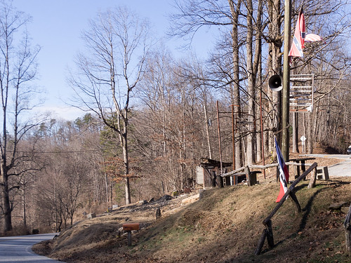
All that's left now are the burned out ruins:
You can go through my photos from day 1 below:
And scroll through my photos from day 2 below:
Day One
I visited two waterfalls on day 1, both visited by hiking Falls Creek Trail #31. The trailhead for Falls Creek Trail #31 is located off Fall Creek Road, a short distance down the road from the Palmetto Bible Camp.The trail mostly follows a partially eroded logging road up, and up, then up some more, then up even more.
The first waterfall I wanted to visited is on Little Falls Creek. I left the trail where an old aerial map suggested there might be an old logging road to lead me right to this waterfall. I didn't find this logging road, so I decided to head back down to the trail.
As I approached the Little Falls Creek crossing along the trail, I could hear and see the waterfall. I bushwacked my way up to the base of this long beauty, finding an obvious path along the way.
I took a short video of the waterfall in action:
I followed the obvious path back downhill until it met up with Falls Creek Trail, the last portion deliberately covered with branches to obscure its presence from the trail.
I crossed Little Falls Creek...
then spotted an old logging road following Falls Creek, this road also deliberately obscured by tree limbs.
I thought maybe there may be another photo opportunity, and I wasn't disappointed.
I went back to the trail and began the strenuous climb up to Falls Creek Falls, where Falls Creek Trail ends and Hospital Rock trail begins.
The reward, however, was completely worth the climb. Falls Creek Falls was almost completely frozen over:
I pondered a minute whether to take the risk venturing out into the middle to get a better view.
The worst that could happen is a foot would get wet and cold, so I went for it.
In this short video, you can see and hear the water flowing under the frozen top layer:
I had considered trying for Chute Falls, a waterfall just downstream from here, but sun was already getting low, and the air was getting colder. I decided to make my way back to the trailhead.
Day 2
I started off the second day by visiting Lower Wildcat Falls, a roadside waterfall by U.S. 276/S.C. 11 near Cleveland, SC. I expected to see more ice than I did. Oh well.I left my car in the parking area and walked down to an easily missed path by Slickum Creek.
Two waterfalls are down this trail. The first one, Last Falls on Slickum, is only a few feet away. A thin layer of ice covers the pool below.
This is my short video of the water flow:
This is my short video of Sweet Thing's water flow below:
The short trail follows an old forest road:
In my last visit in 2011, I encountered a memorial to Buck Hinkle, a local resident involved in the creation of the nature reserve.
The sign holder is now gone, and the mill race has been moved:
The trail closely follows Reedy Cove Creek. In places, I could see the creek was almost completely frozen over:
The ice flowing downstream was interesting:
where the best views are located.
I took a short video of the water flow from the viewing platform:
But too soon it was time to head back to the car.
However, I had one more stop to make before going home. Bob's Place, once the longest continuously operating bar in the state, stood at the corner of U.S. 178 and Cleo Chapman Highway for about 50 years until it burned down May 20, 2017. Photographer and all around good guy Tom Taylor took this photo of Bob's Place one day back in 2015:
All that's left now are the burned out ruins:
Wrapup
I didn't get to as many waterfalls as I wanted to, but I still found some great examples and what the cold wave has done to some area waterfalls.You can go through my photos from day 1 below:
And scroll through my photos from day 2 below:










Comments
Post a Comment