Hike to Buckeye Falls and Hospital Rock
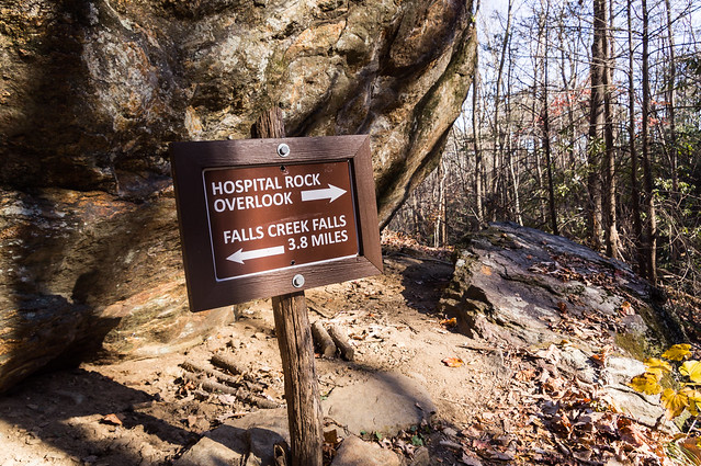
Hospital Rock Trail is a strenuous 4.4 mile trek from Jones Gap State Park to Falls Creek Falls on Falls Creek where the trail becomes Falls Creek Falls Trail. I've hiked in Jones Gap State Park several times before, but this time I planned to visit Buckeye Falls and Hospital Rock, two places I've never visited before, and both on Hospital Rock Trail.
Hospital Rock Trail begins near the old fish hatchery a short distance beyond a foot bridge over the Middle Saluda River.
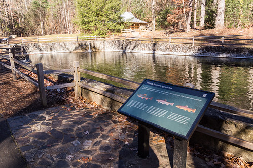
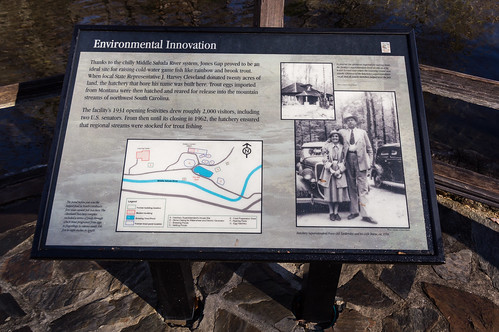
The Cleveland Fish Hatchery, South Carolina's first state owned fish hatchery, was built in 1931 by the South Carolina DNR and operated until 1963. Part of the hatchery has been restored for educational purposes.
What interested me was a map showing where the other parts of the fish hatchery were located.
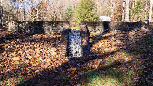
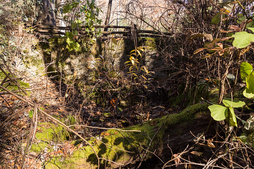
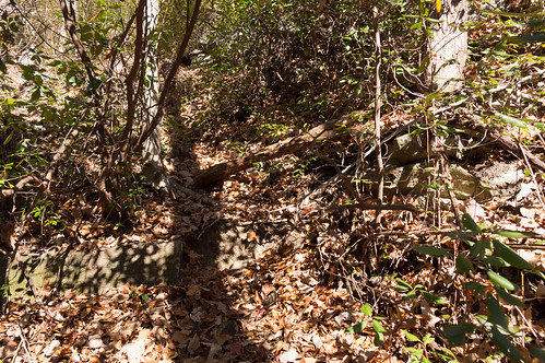
I believe the waterwheel casing shown on the map was here, behind a decaying split rail fence: Vegetation eliminated any chance of taking a clear photo of the masonry.
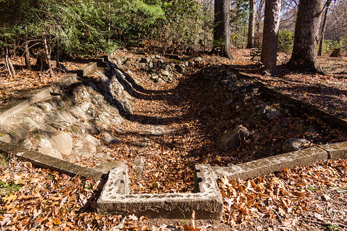
As I headed down Hospital Rock Trail, I found other parts of the abandoned hatchery.
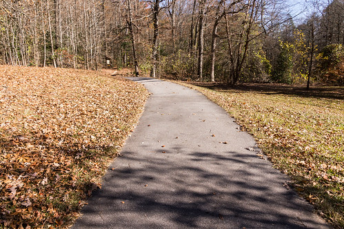
The trail starts off paved...
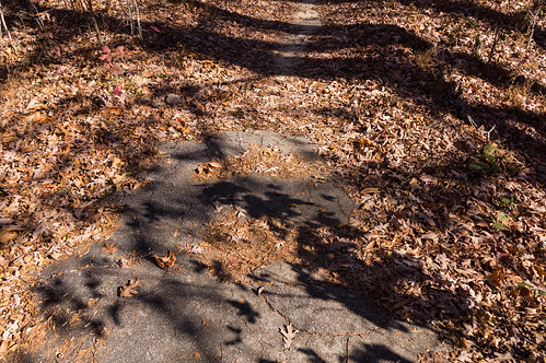
but the paved portion ends a short distance away.
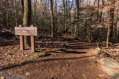
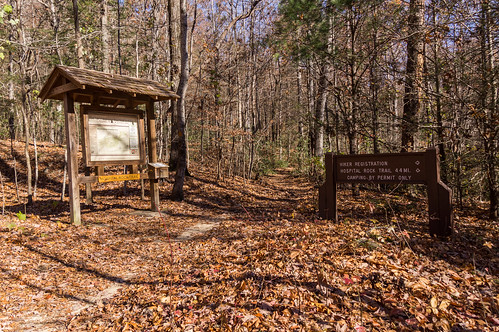
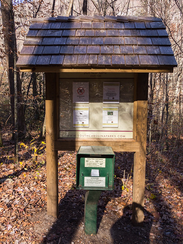
I registered at the information board in case I met some misfortune.
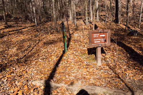
I passed by a number of camp sites along the way. So far the going was easy to moderate, but almost always up.
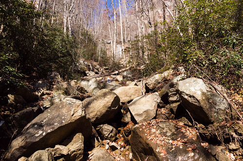
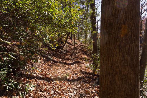
But soon progress slowed as the upward slope increased, and the ground became uneven and rocky.
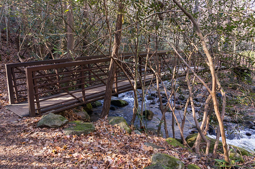
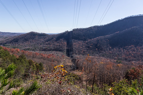
Buckeye Falls is on Rocky Branch, about 0.8 miles down Hospital Rock Trail, near some electrical transmission lines. I had my navigation app to inform me how close I was getting, but seeing the transmission lines made it more obvious.
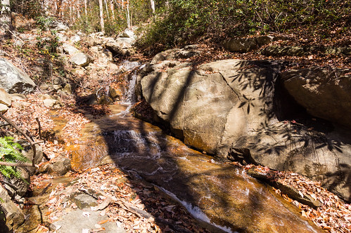
I noticed some interesting cascades I took some time to photograph while relaxing.
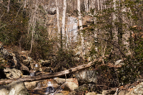
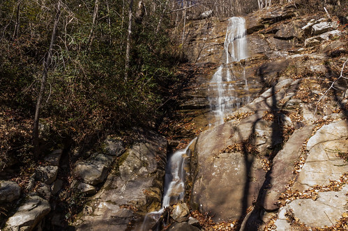
The trail offers a view of Buckeye Falls from the base.
I zoomed in to get a better view of the top.
I wanted a better view of the top, so I crossed over the creek and headed up an obvious side trail on the other side.
The trail becomes steep and rocky, but the reward is worth it. I tried a horizontal composition...
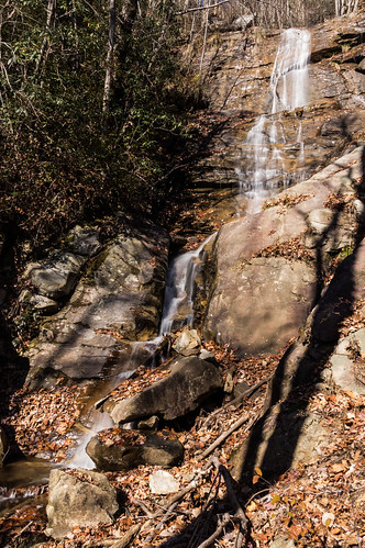
then a vertical one I think works better here.
Then it was back down to Hospital Rock Trail and on to Hospital Rock.
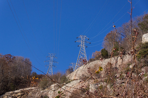
I passed under those electrical transmission towers I glimpsed earlier...
...as they headed up and over Cleveland Cliffs. I feel sorry for the people that have to maintenance these towers.
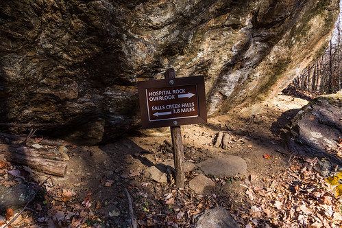
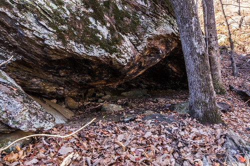
Hospital Rock came into view a while later.
The trail continues sharply up, but I was going no further.
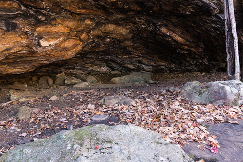
Hospital Rock, according to the story, is one place where deserters from the Confederate army hid out during the American Civil War. I have no idea how much truth the story contains, but it's easy to see many have camped here in the past.
The rock is well coated with soot.
From here, Hospital Rock Trail turns sharply uphill. I had no interest in pursuing that even more exhausting option, and the sun was getting low anyway.
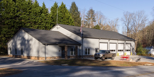
The trip back to the fish hatchery was mostly downhill(!), but still not much faster than the trip up. Before heading home, I stopped by River Falls for a quick visit. First, to take a photograph of the newish fire department building.
This building replaced the earlier one that was demolished due to the earlier building's poor condition. This also happens to be almost exactly where of the northern terminus of the Greenville and Northern Railway ("Swamp Rabbit") and a depot were once located.
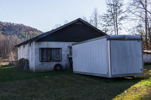
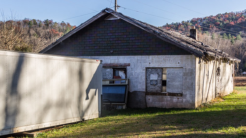
And second, across the road is an old store whose roof is in bad condition. The front of the store is obscured by a trailer. I've wanted to take a photo of this store, but that trailer was always in the way. I didn't want to wait any longer in case the old store is demolished before my visit up this way.
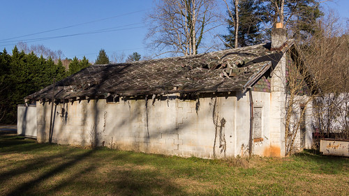
From the back, the poor condition of the roof is rather obvious easily visible:
The hike was a bit tedious, as expected, but the rewards were well worth it. Next time, I want to try yet another section of the park new to me to visit a few more minor waterfalls.
All of my trip photos are in an album on Flickr, or you can go through them below:

Comments
Post a Comment